Jack Evans Track to Pisgah Rock via Dadder Cave
First thing to note about this walk is don’t do it the wrong way around (clockwise). Most online notes about this walk suggest doing it counter clockwise which will make the walk much easier. This is due to the direction of the shrubs and bush resulting from the floods – we walked against the direction and got the cuts to prove it. Either way, this is a simply beautiful walk with loads of swim spots everywhere and one of the most enjoyable camp spots in Dadder Cave. On day 1 we walked from Pisgah Rock car park to the start of the Jack Evens trail and descended down to the Erskine Creek. The views walking down are really magnificent and we arrived almost immediately to a set of amazing swim spots. On a warm day these are irresistibly clear and cool waters. We continued the walk along the creek all the way to Dadder to cave, which is hard to locate. We used GPS to aid here. The cave does not disappoint with many useful and interesting artefacts left behind from other campers (including a bush table, fire pit, and log book dating back to the 80’s with notes from other campers. There is ample swimming by the cave to make this spot even more special. The second day involves a bit of backtracking to get back to the main route and then a crazy scramble up Pisgah Rock. I found it pretty dangerous and needing of ropes to assist with the heavy bags. Still, super rewarding and when completing the cliff scramble to reach the top, you are greeting by a “DANGER CLIFF” sign post. Funny not funny.

Start of the Jack Evans track 
Planning 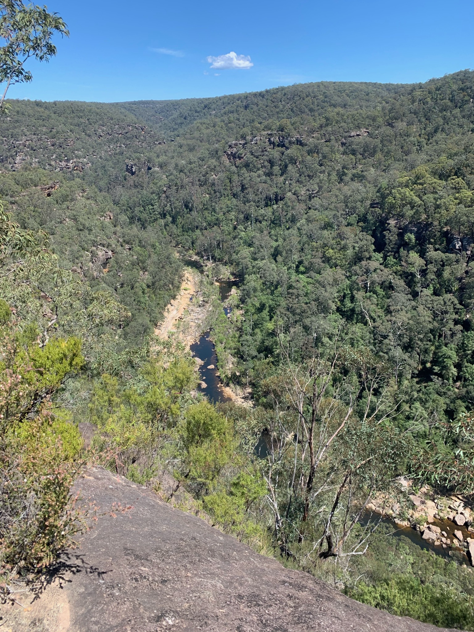
Views over the Erskine Creek 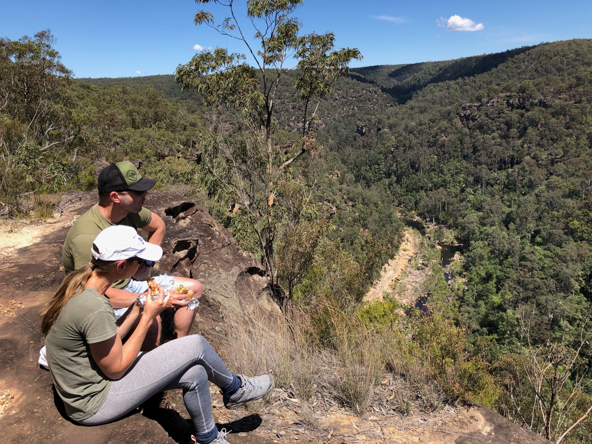
Good lunch spot 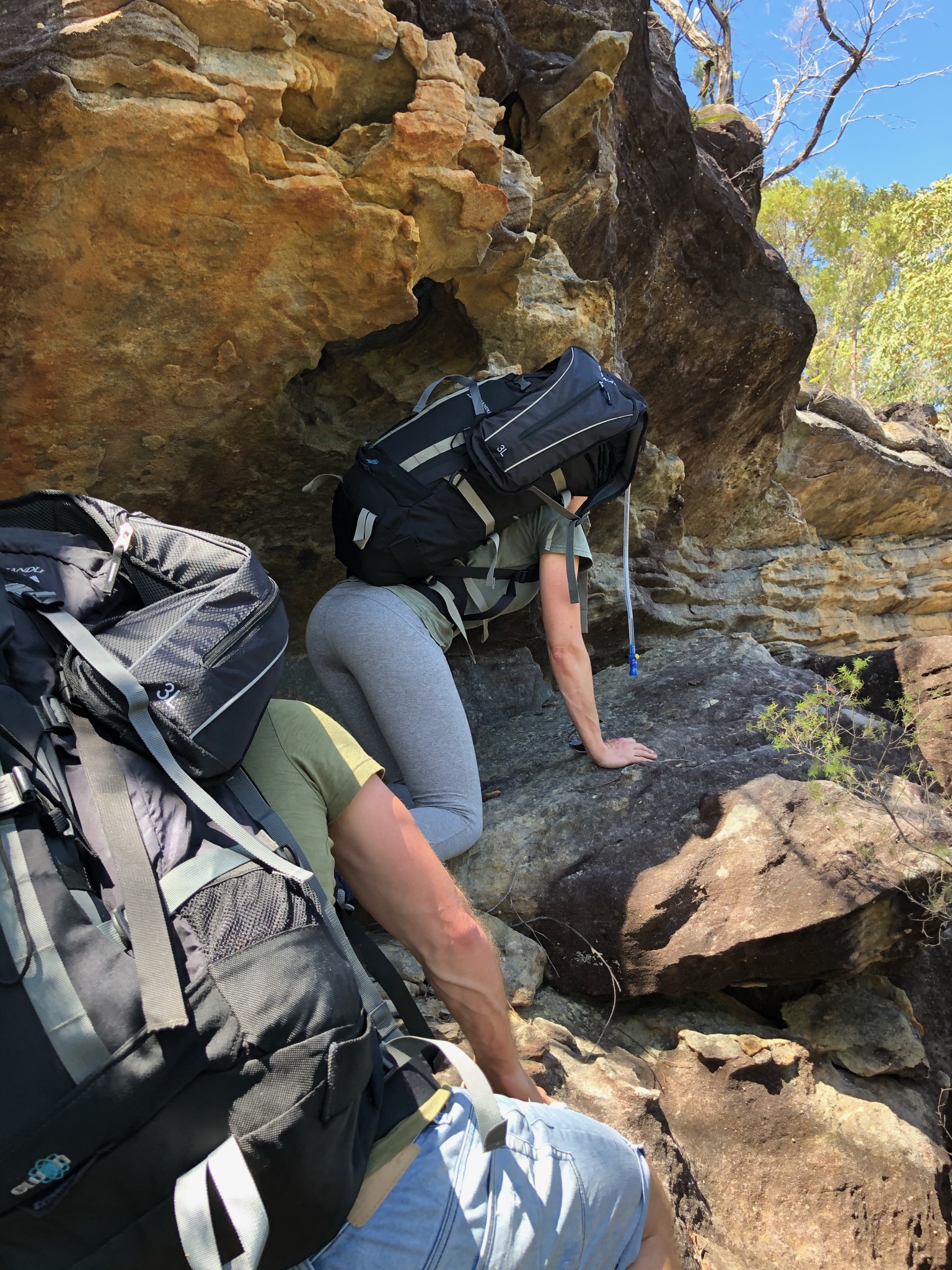
Crawl back to the path 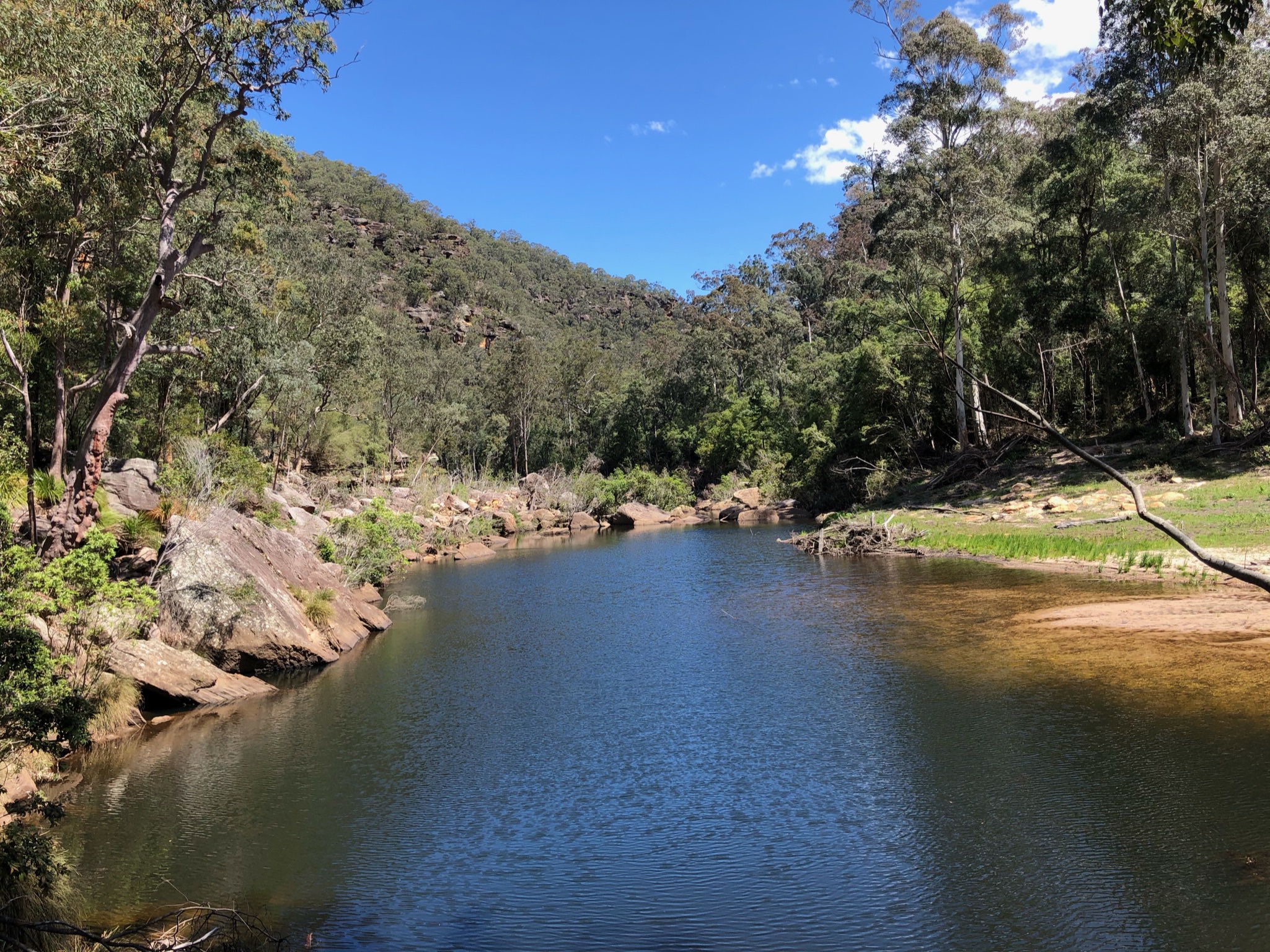
Arriving to the valley – immediate swim spots! 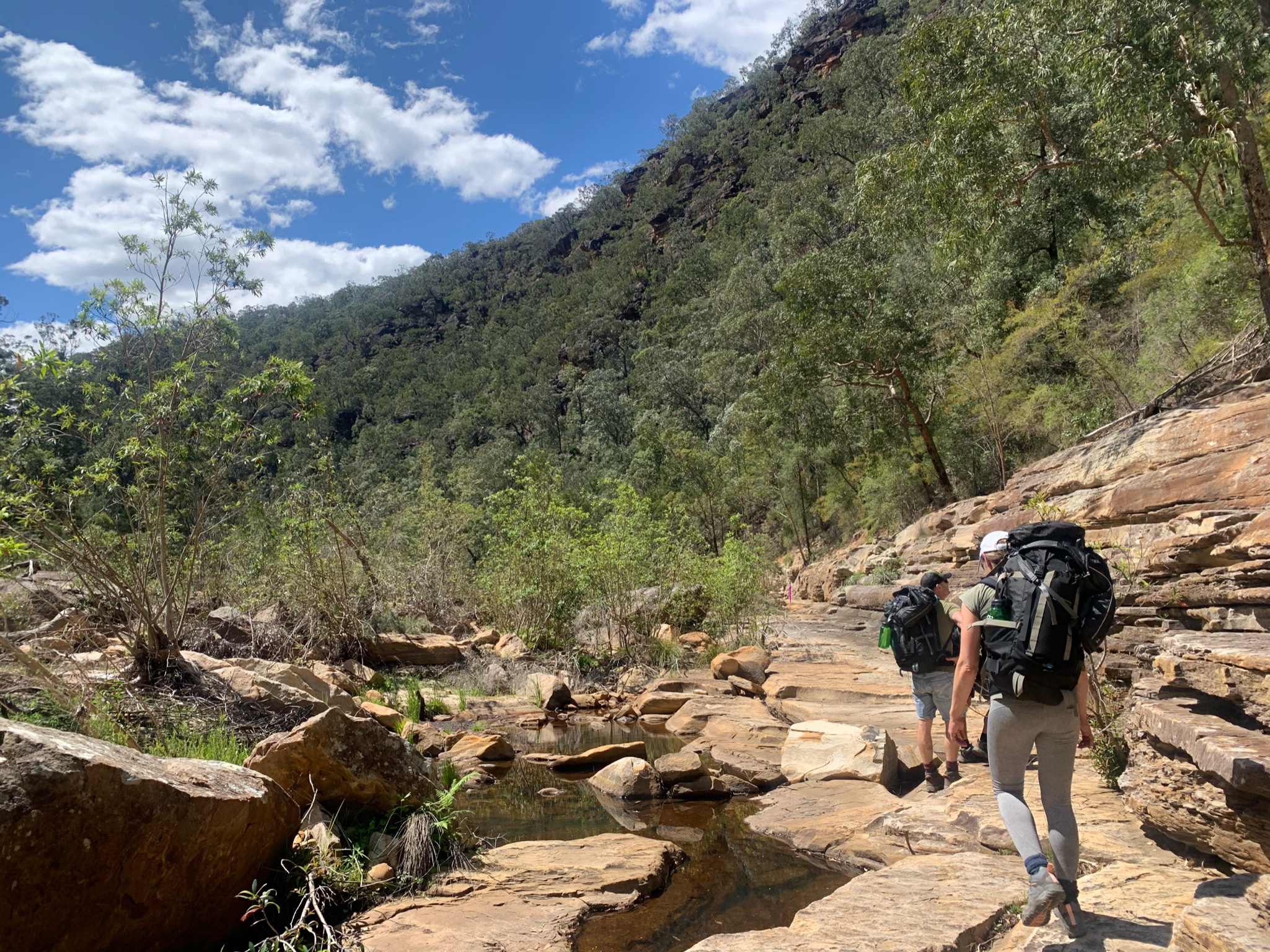
Walking along the creek – gets HOT! 
Lucky there are plenty of swim spots 
Cooling off 
Continuing along the creek 
Long and fairly hard 
After rains hard to cross 
More walking to the cave 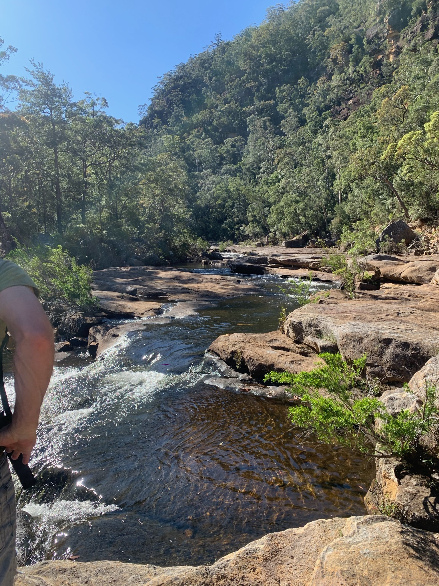
Cave hunting 
Rocks mark the spot 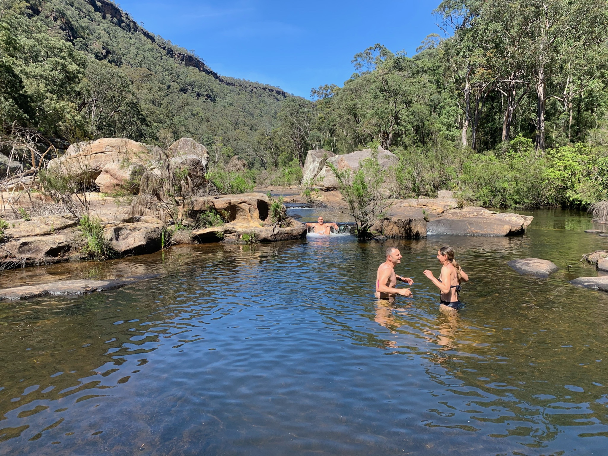
Another swim spot on the way to the cave 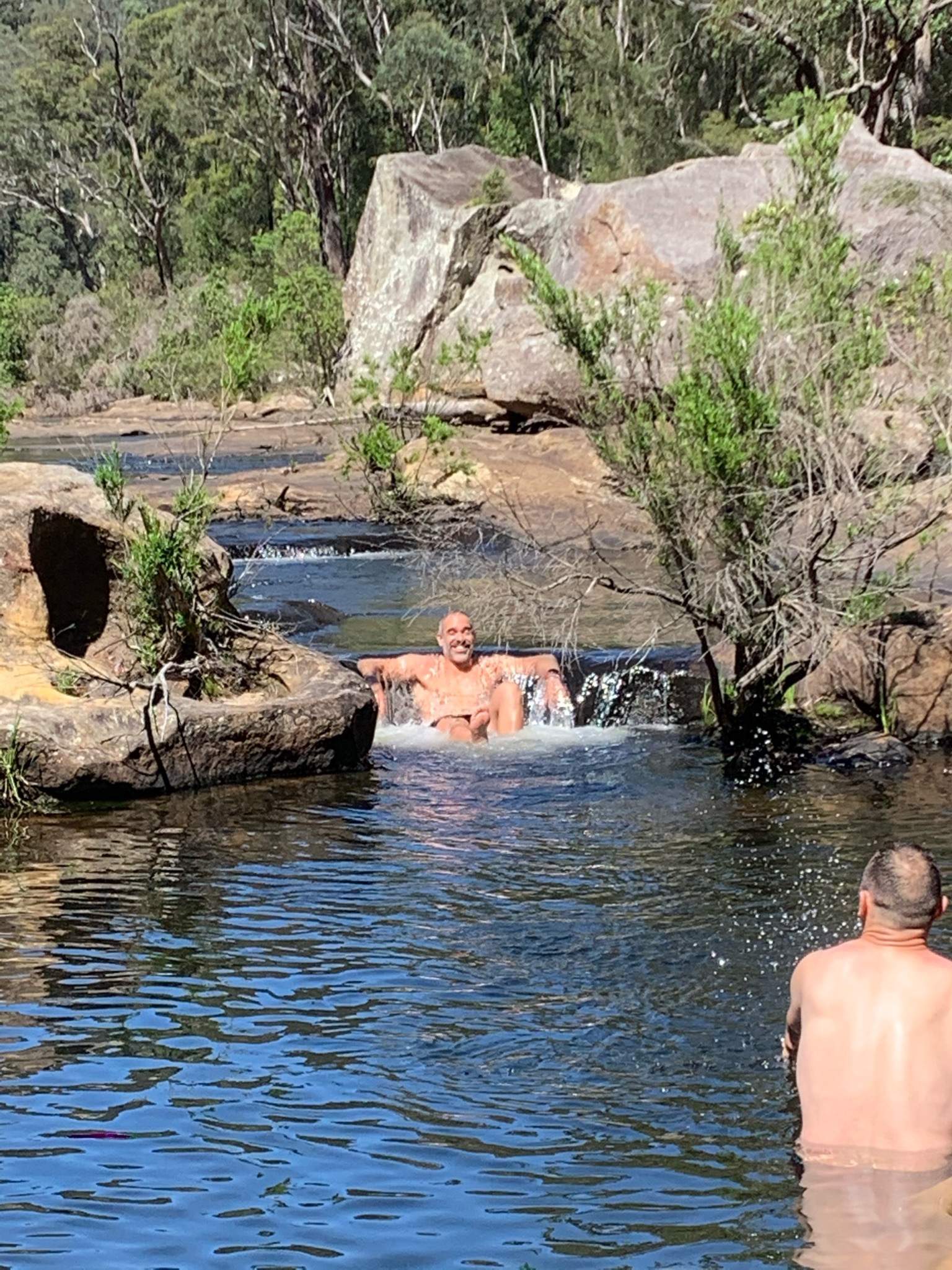
Natures massage 
Walking the creek 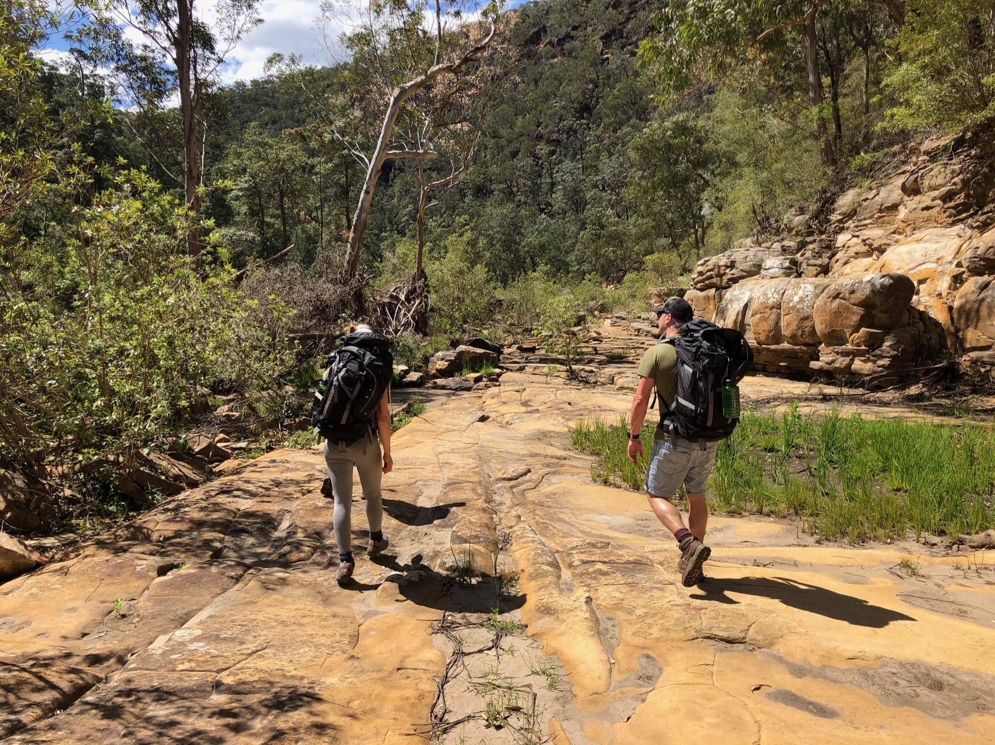
Walking the creek 
Walking the creek 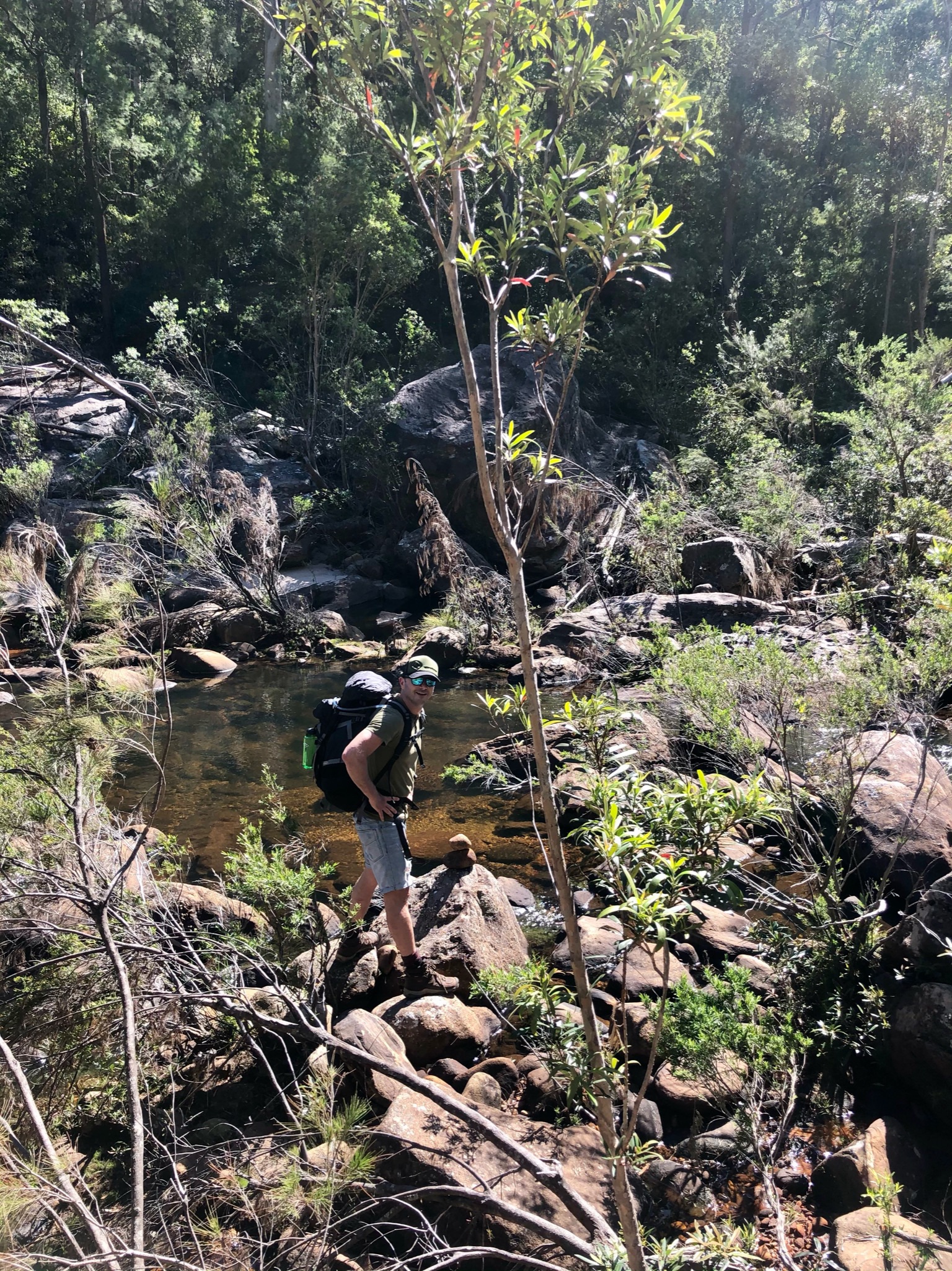
Walking the creek 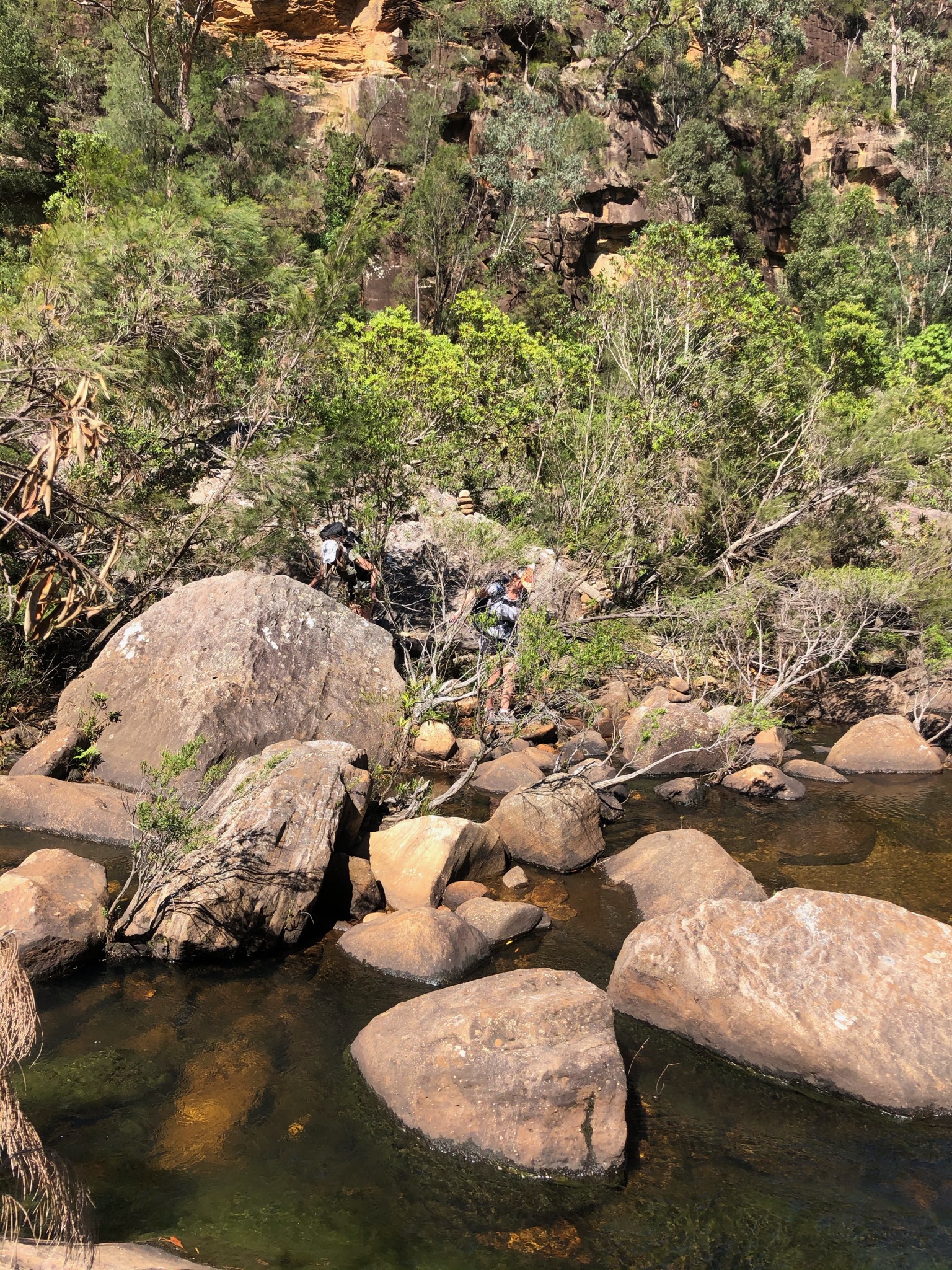
Walking the creek 
Walking the creek 
Getting close! 
Sooo tired 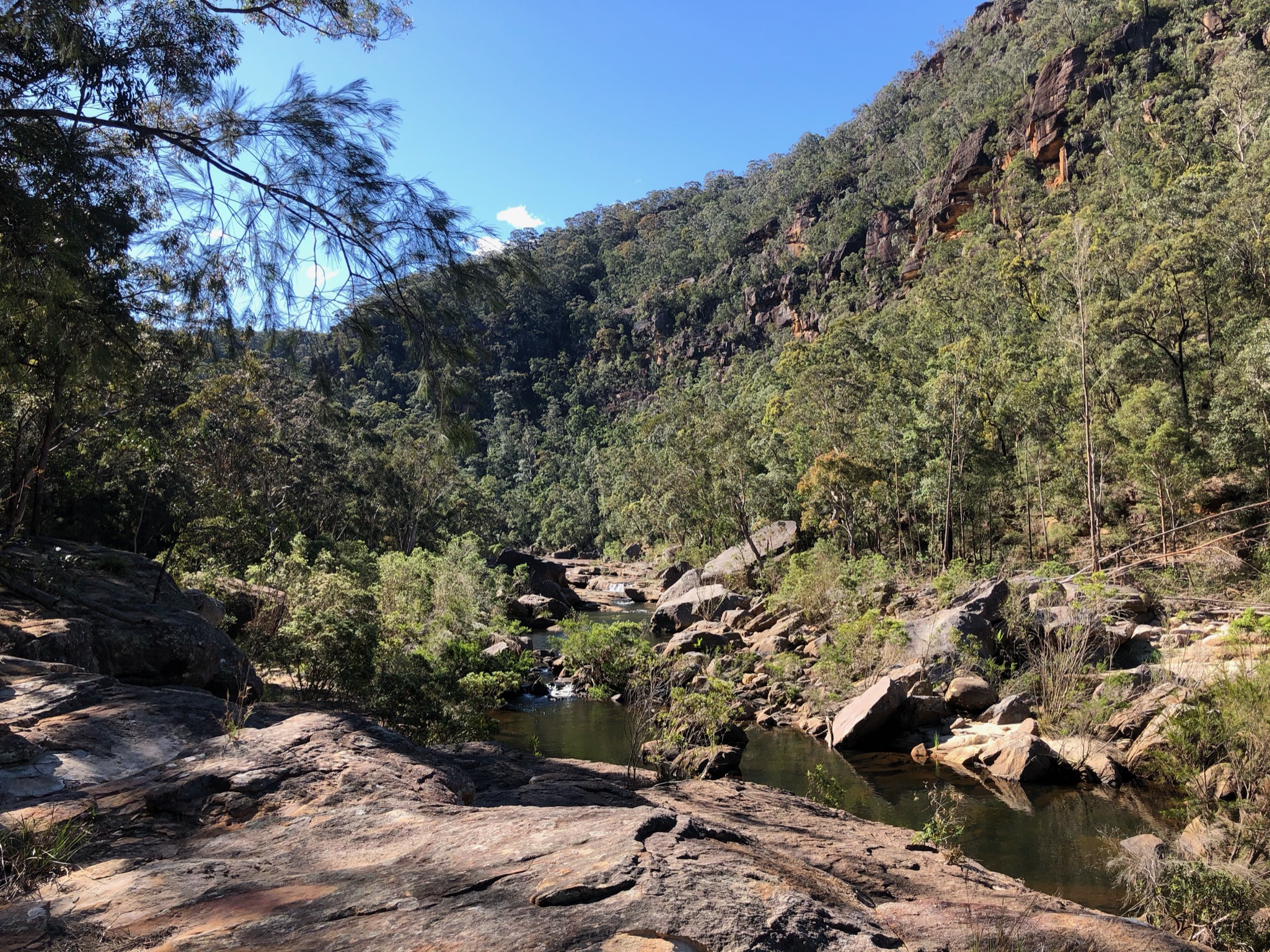
Getting near 
Finally, looks like … 
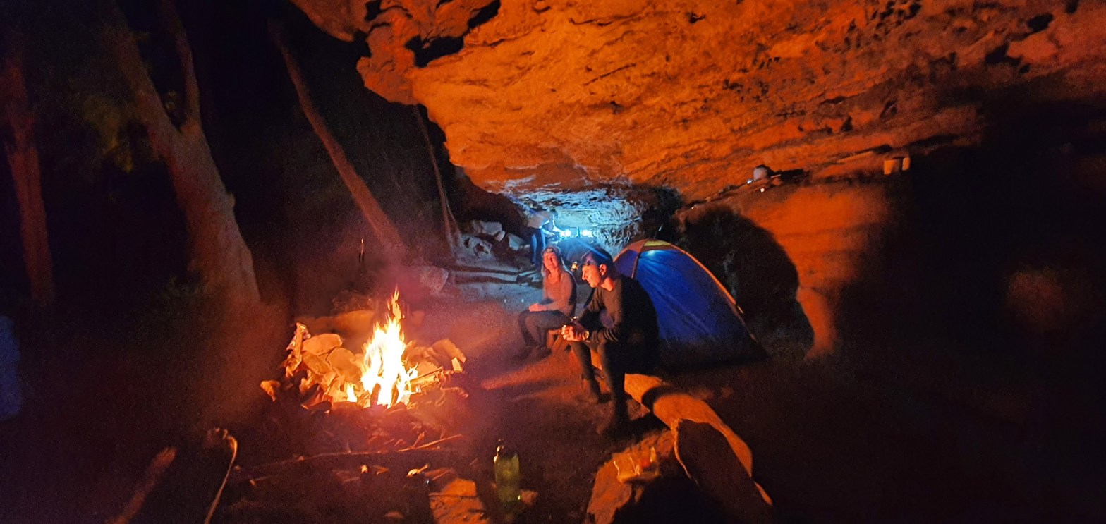
… the cave!!!! 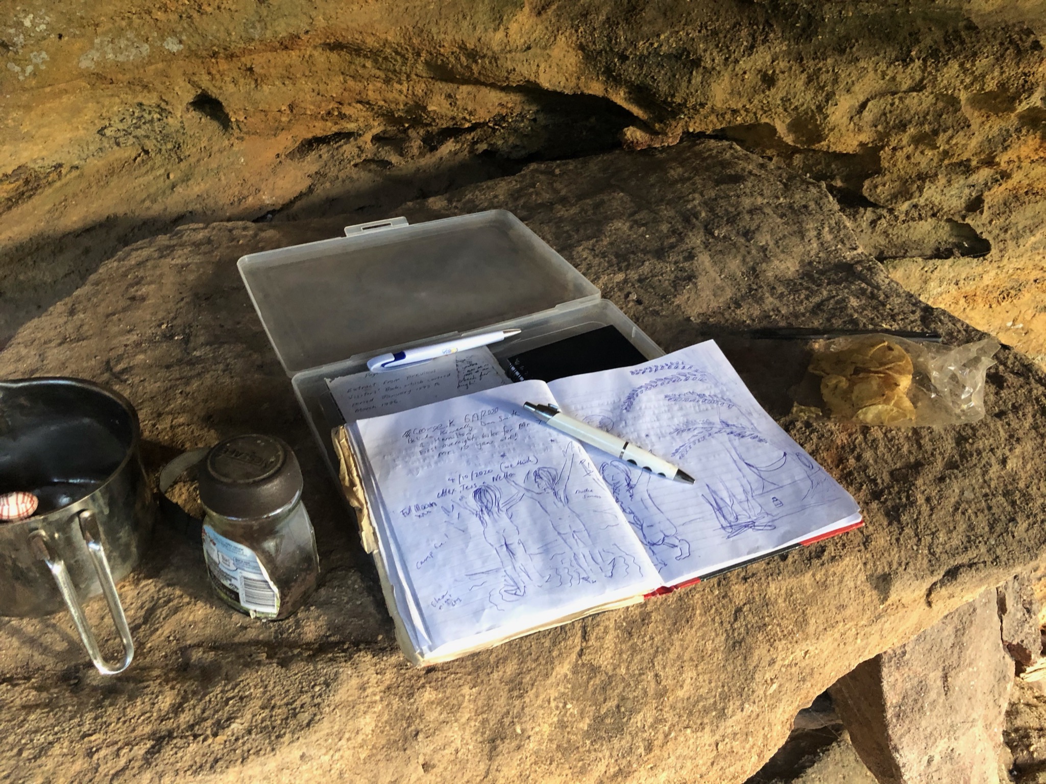
Cave log entry 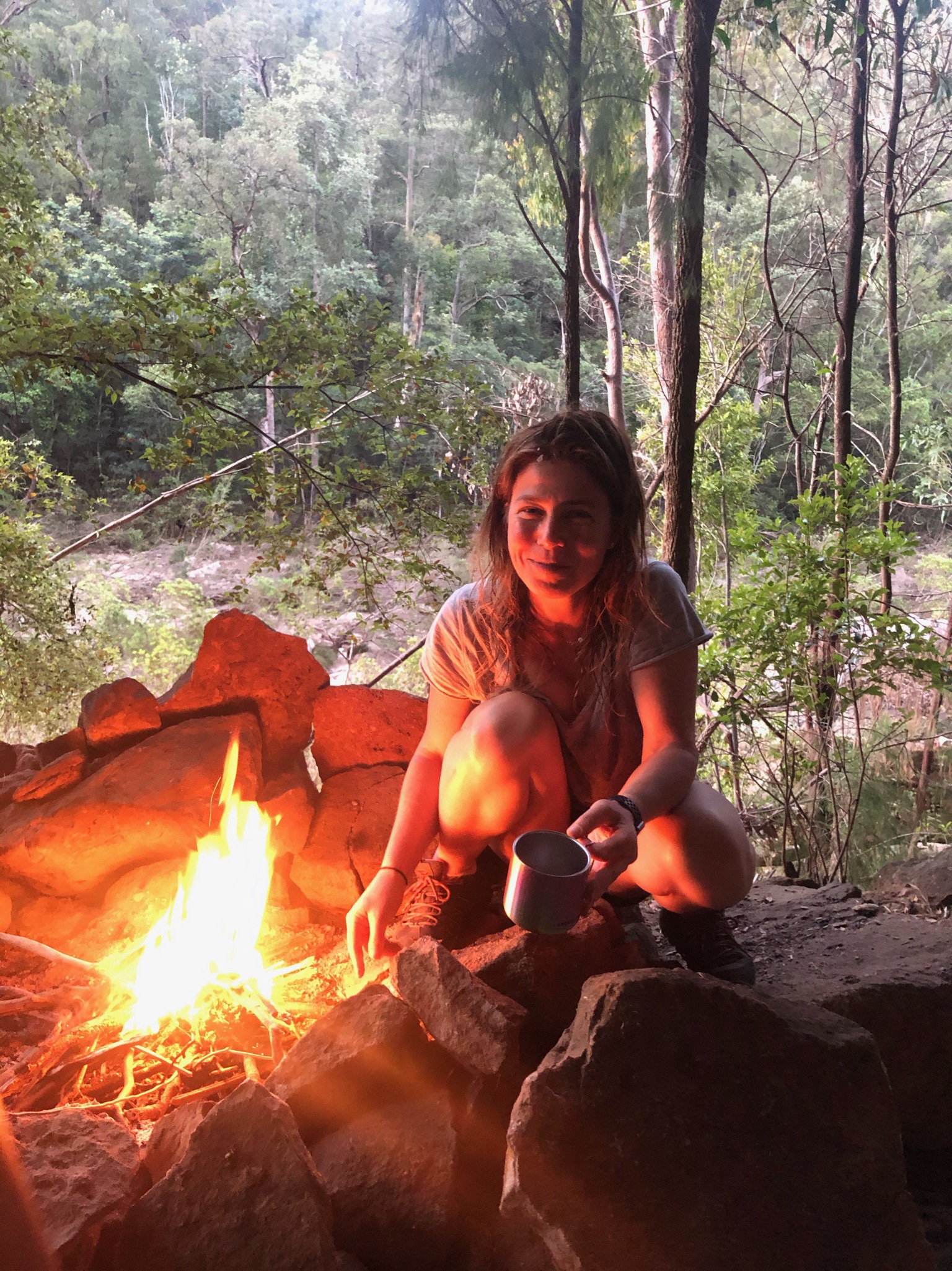
Fire starter 
COsy in cave 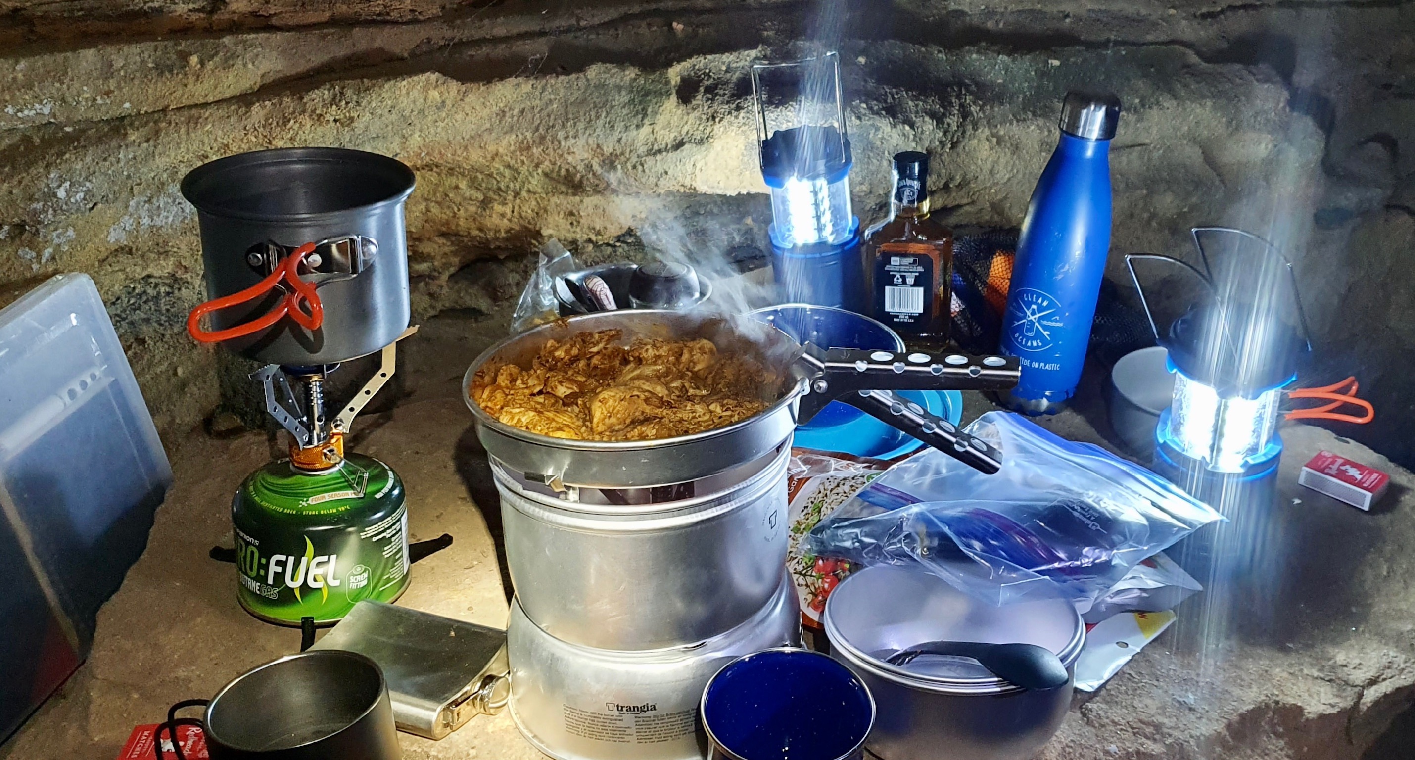
Good food 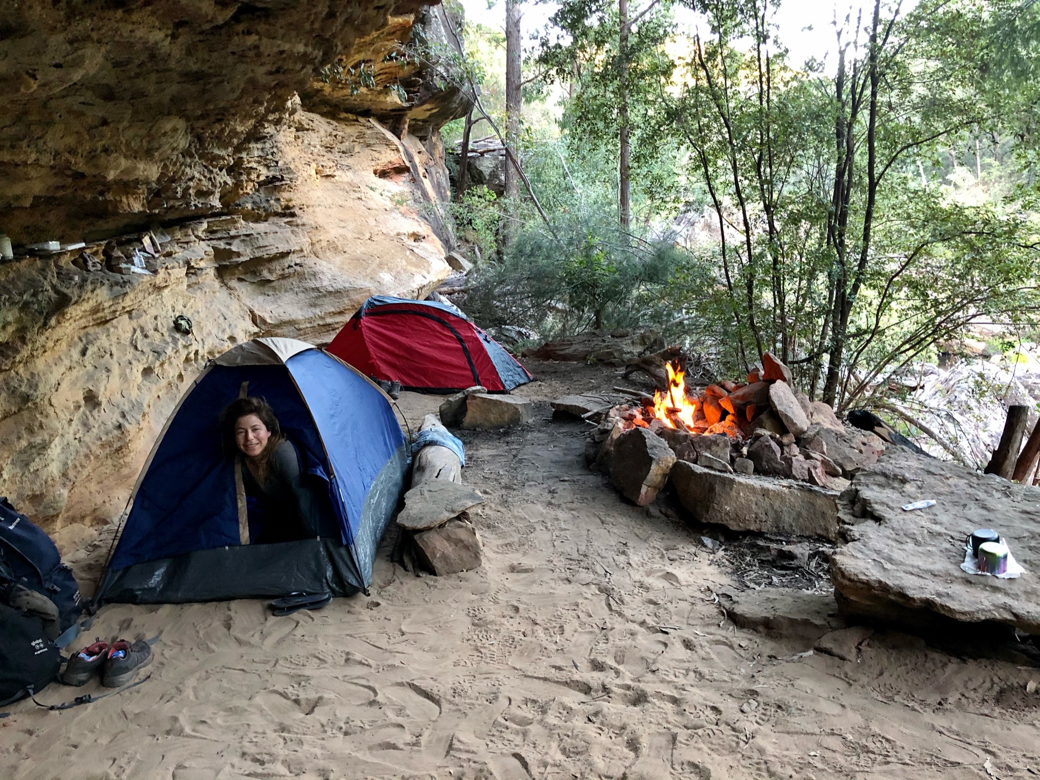
Morning! 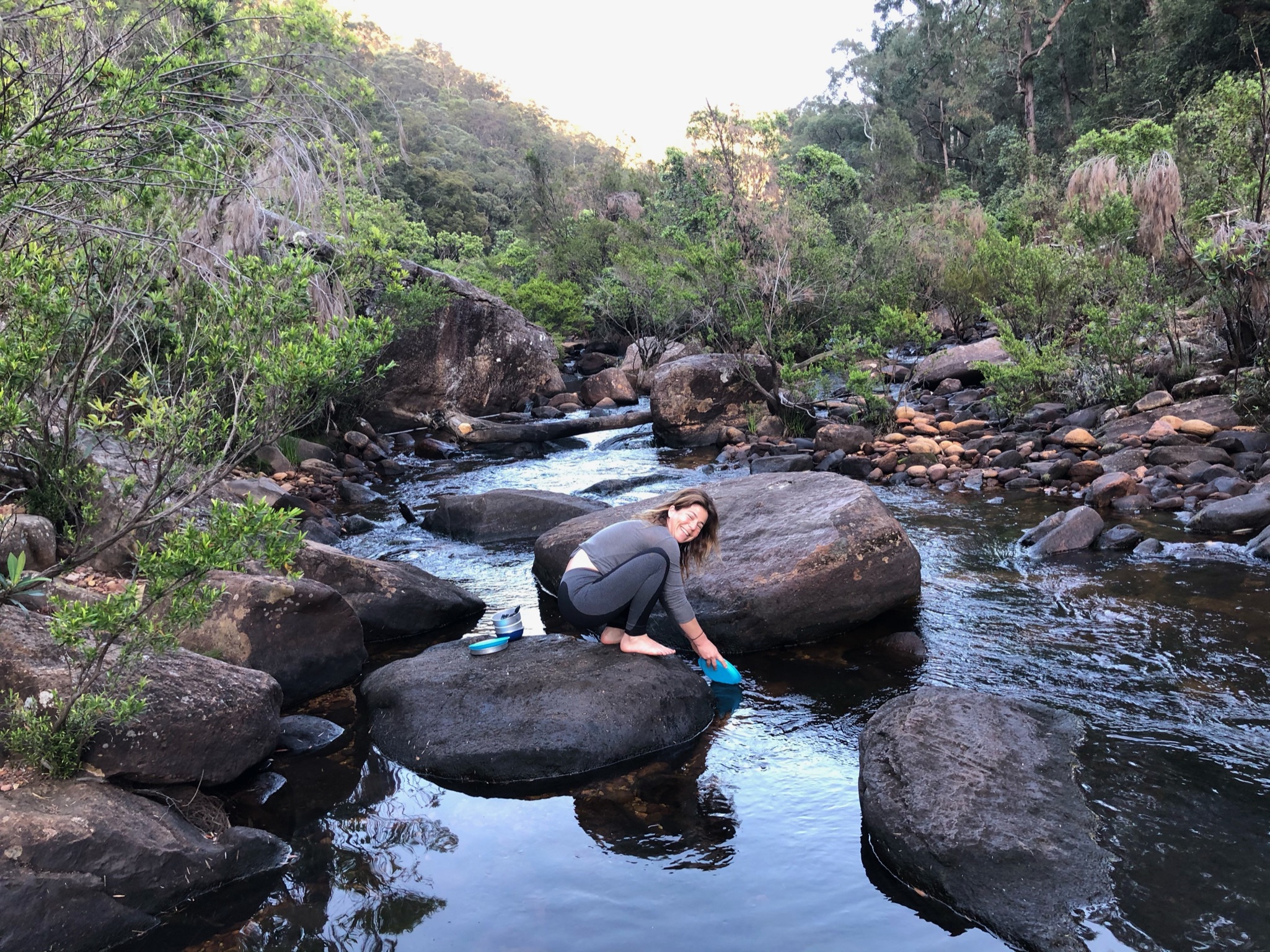
Freshen up 
Brekkie 
Let’s get going! 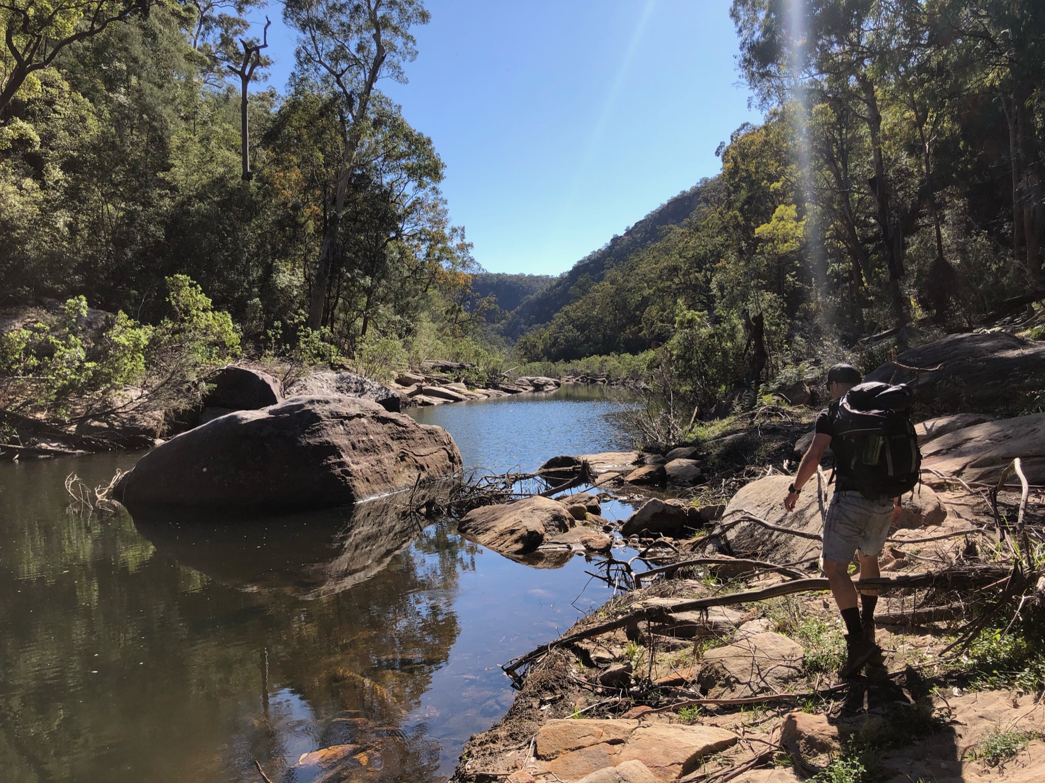
Walking back to find the climb out 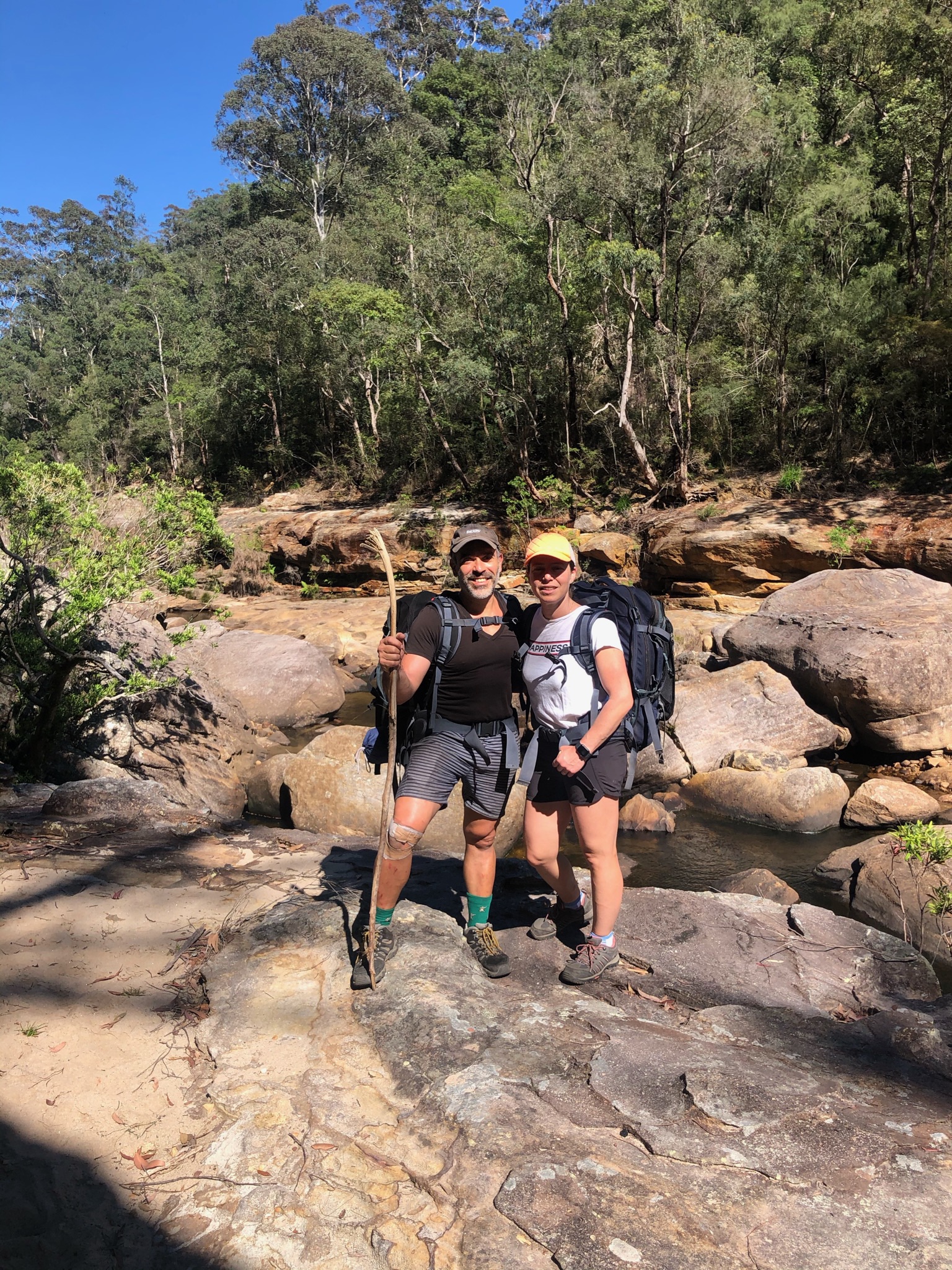
Bush walkers 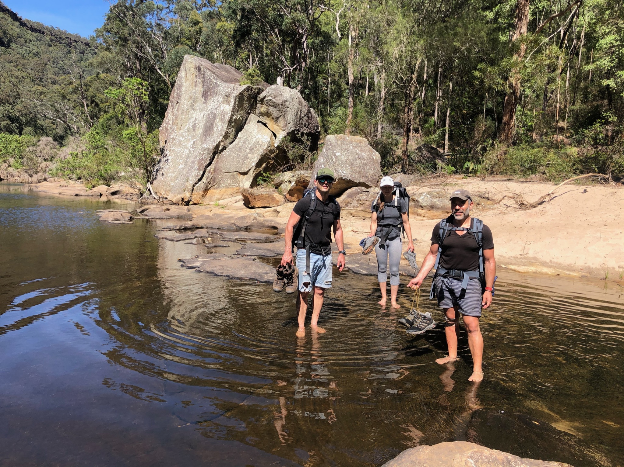
Creek crossing 
Starting the climb up 
Cliff climbing 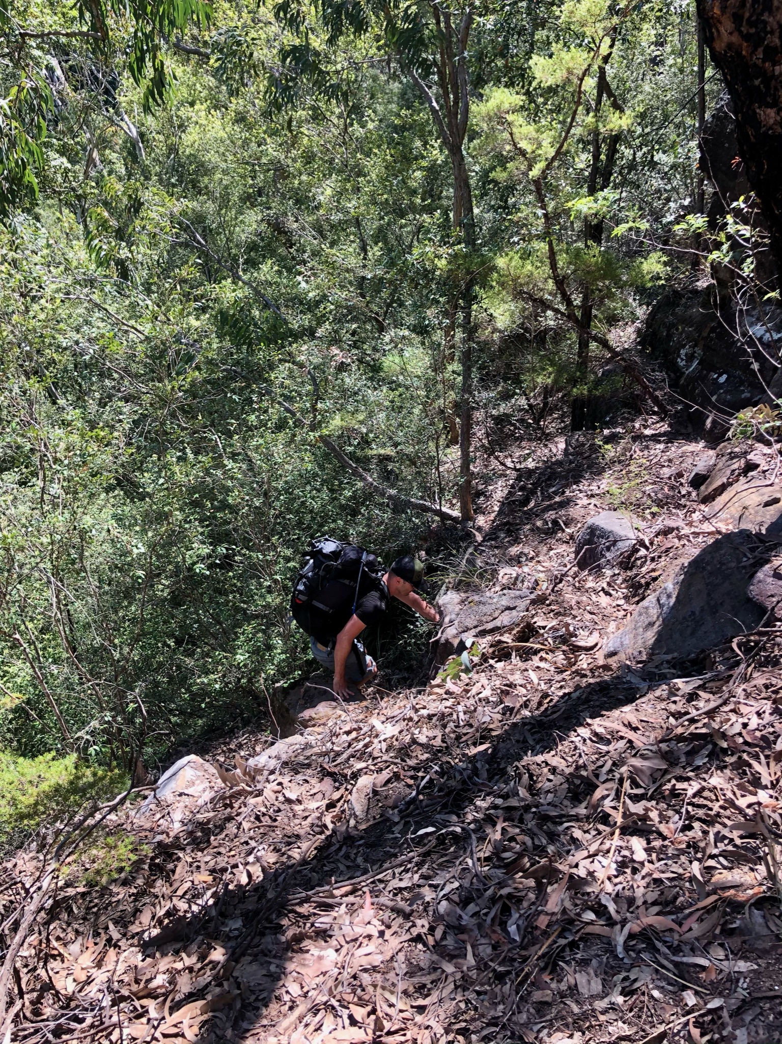
Scramble! 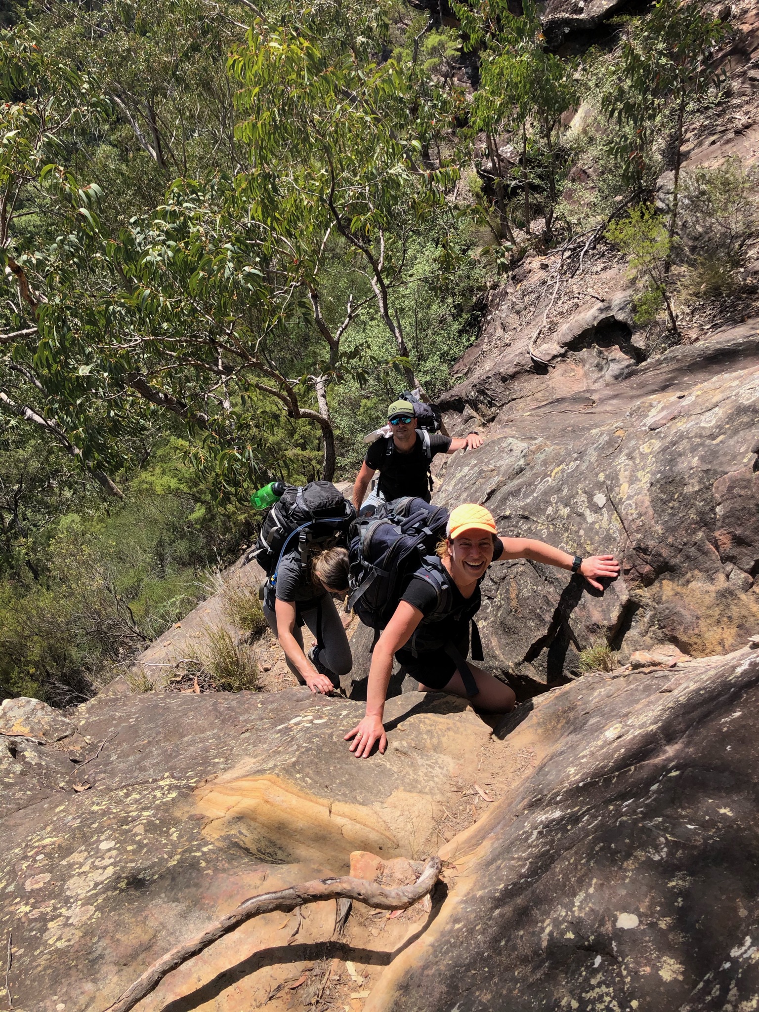
Climb 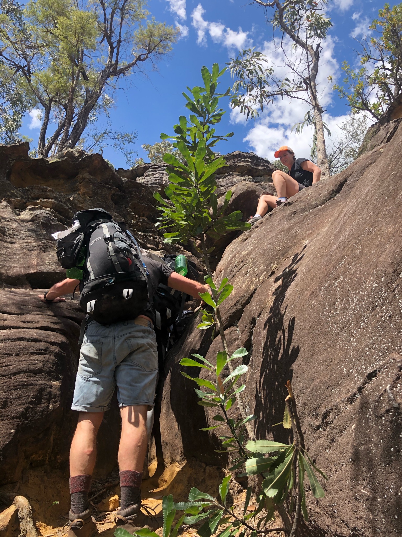
Lift 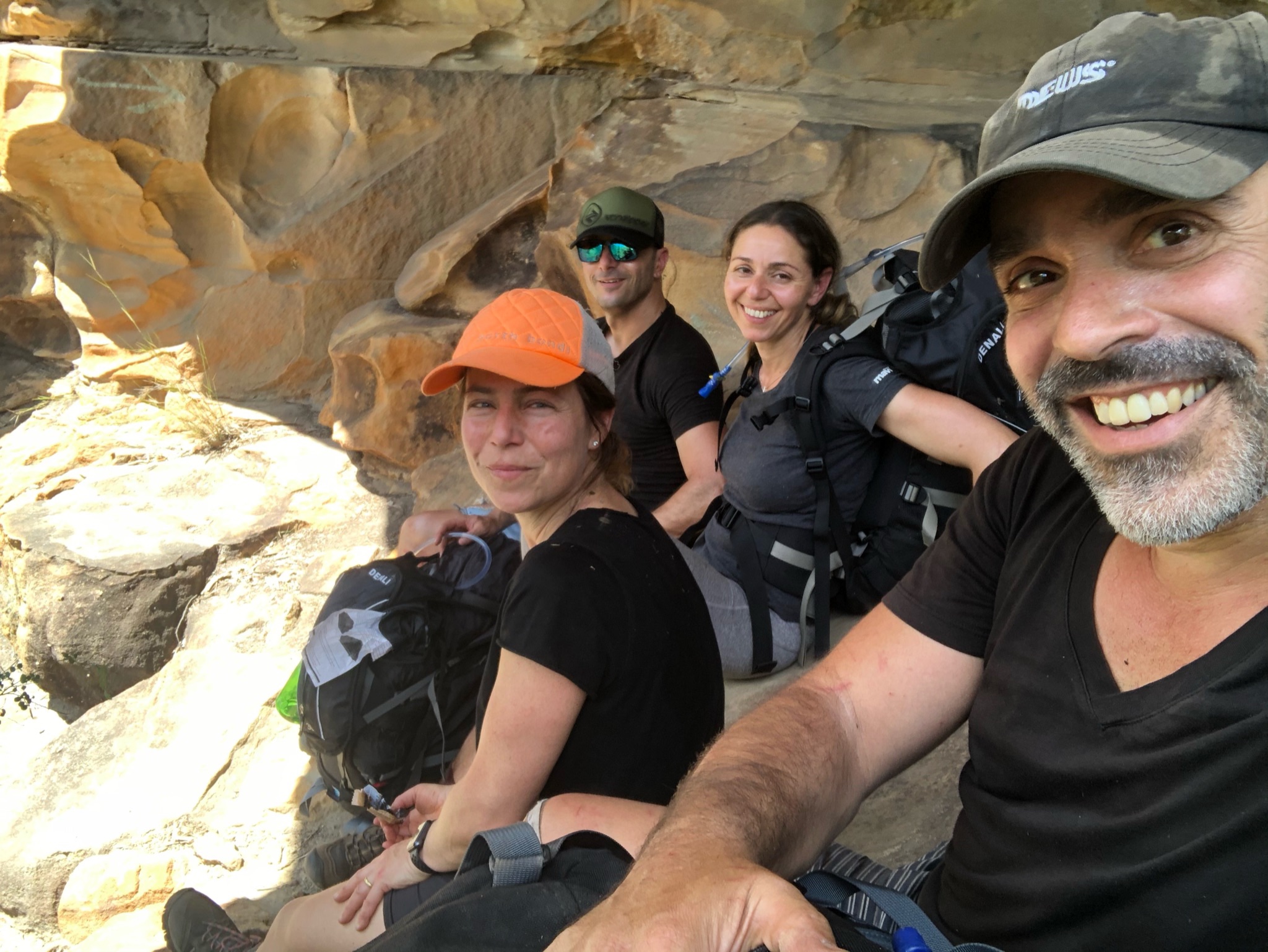
Perch 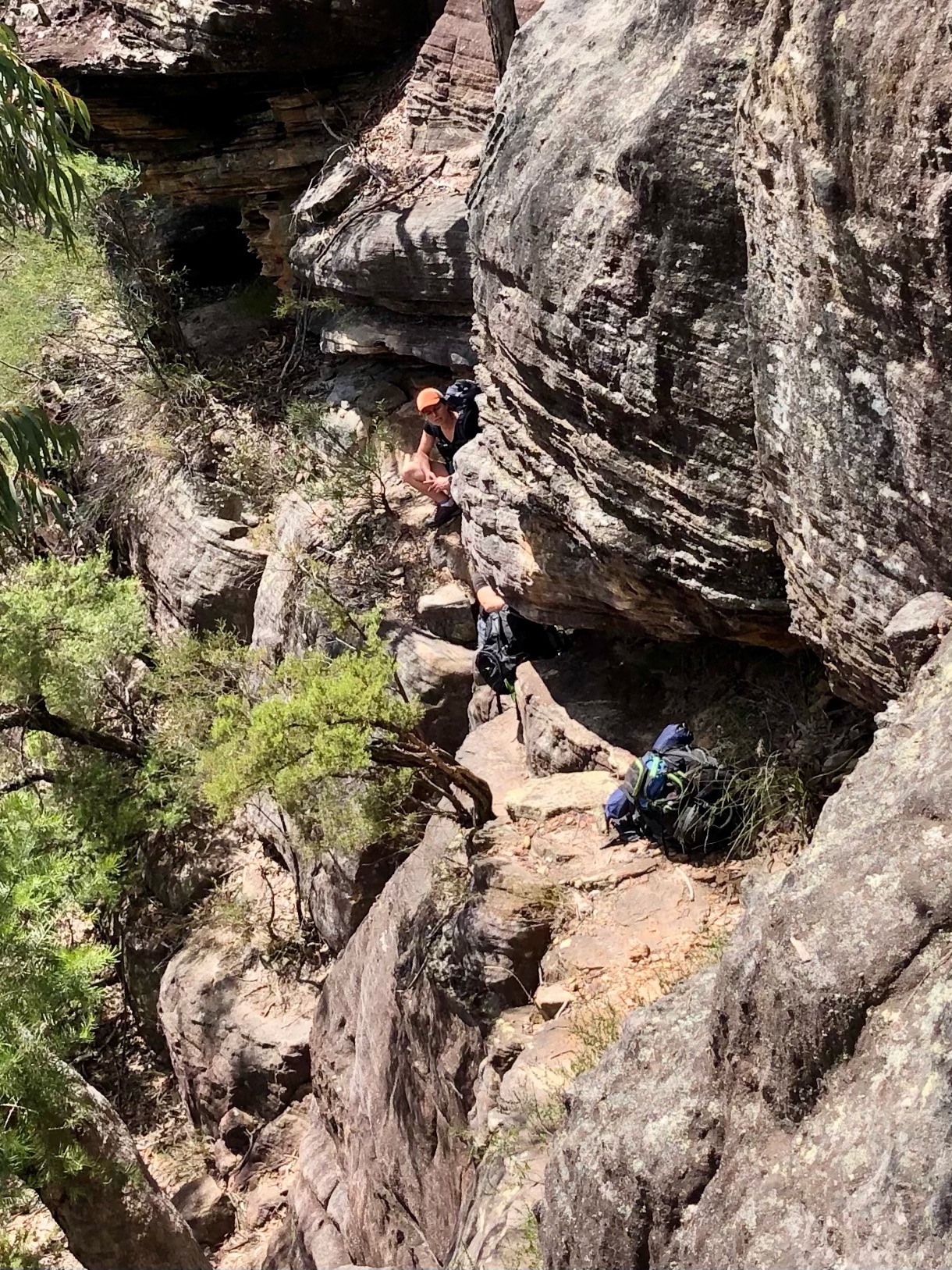
More climbing 
Done!
