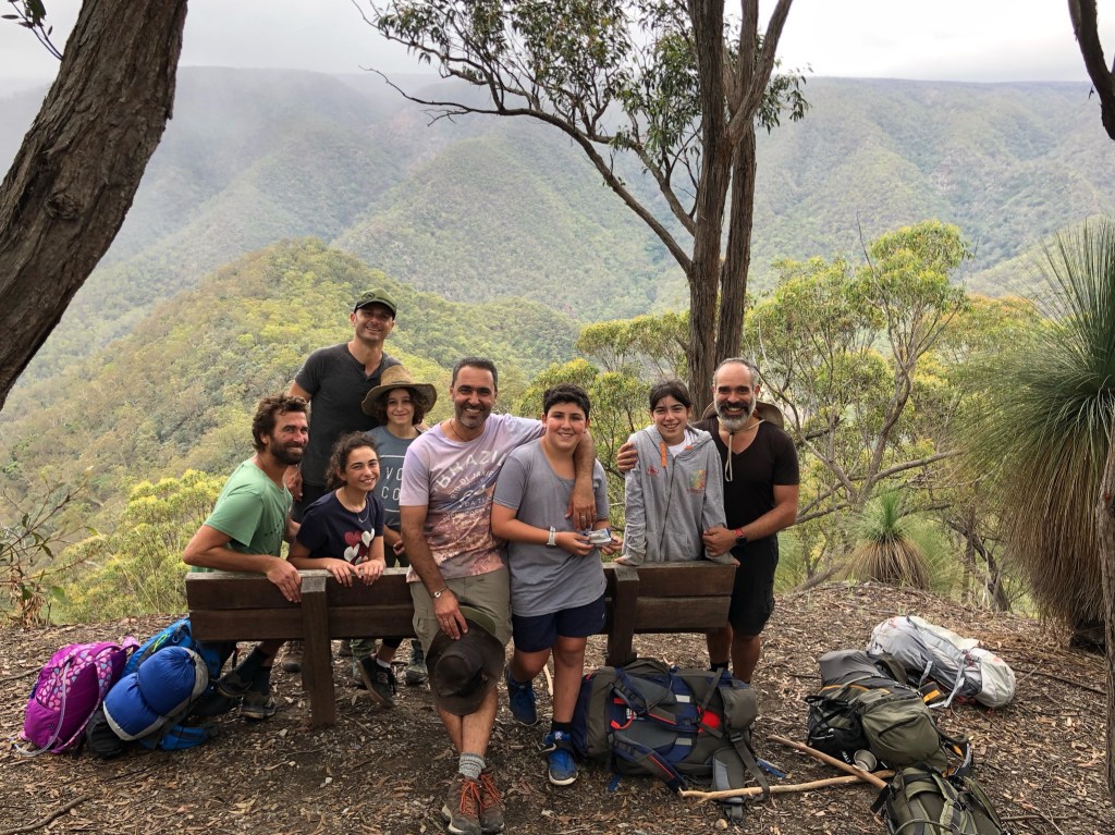
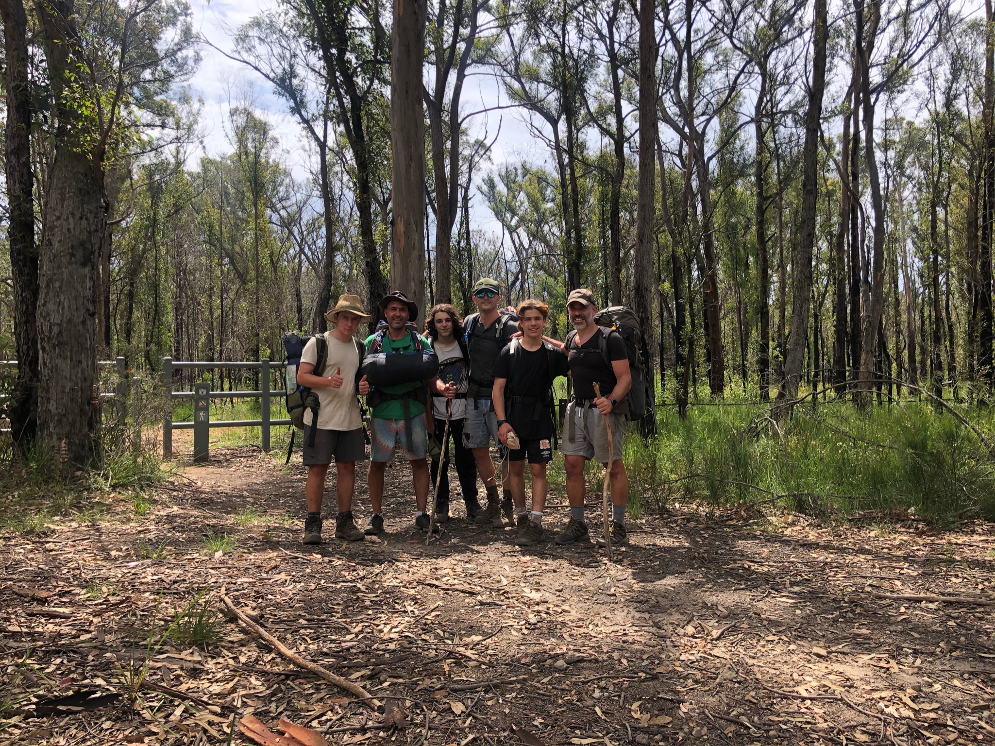
Kanangra Walls Plateau down to Kowmung River via Coals Seam Cave, Gingra Trail and Roots Ridge.
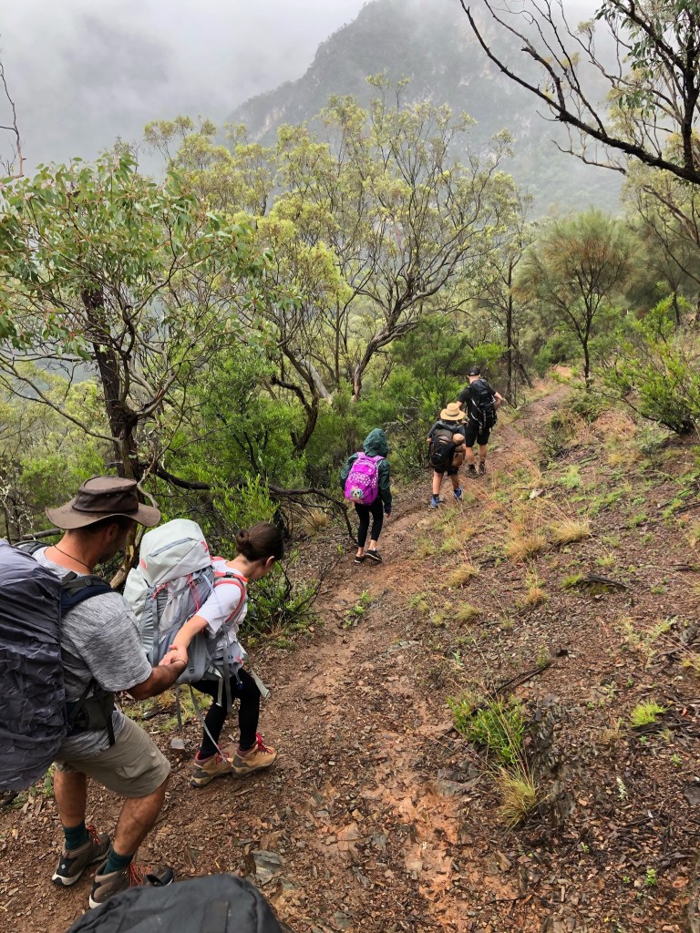
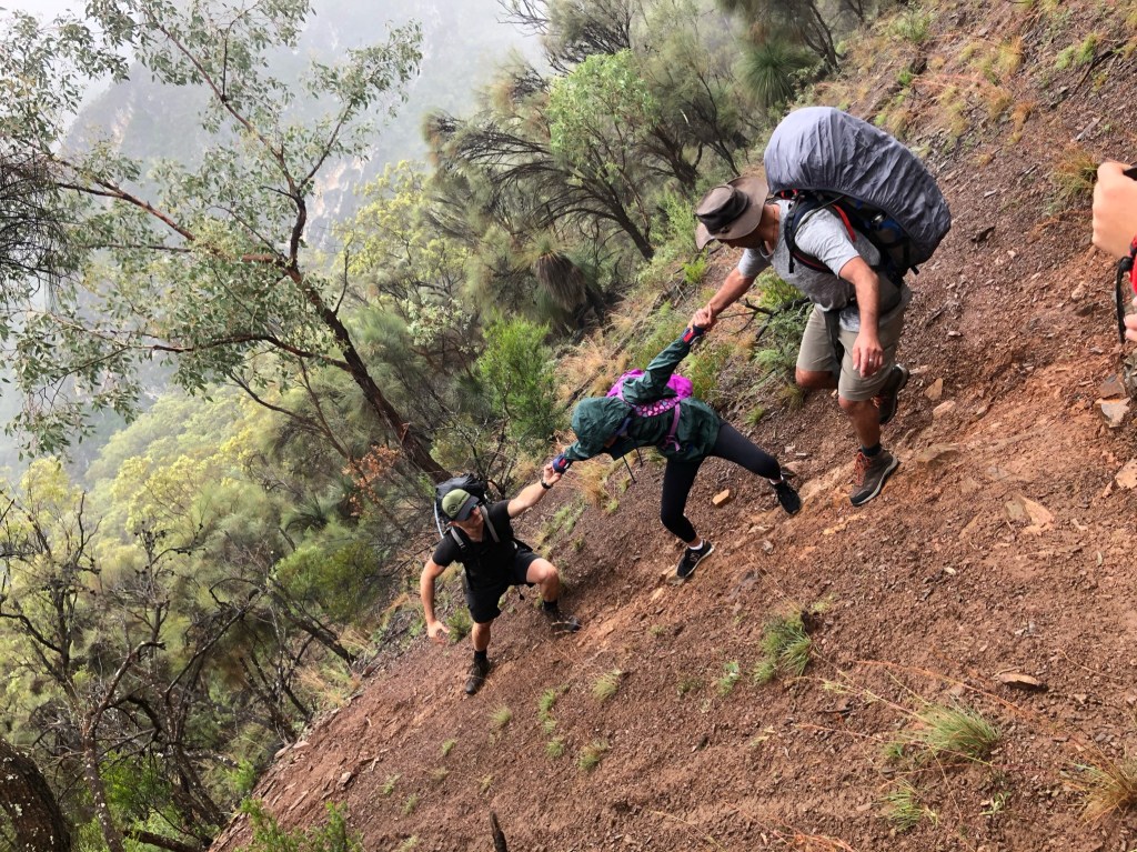
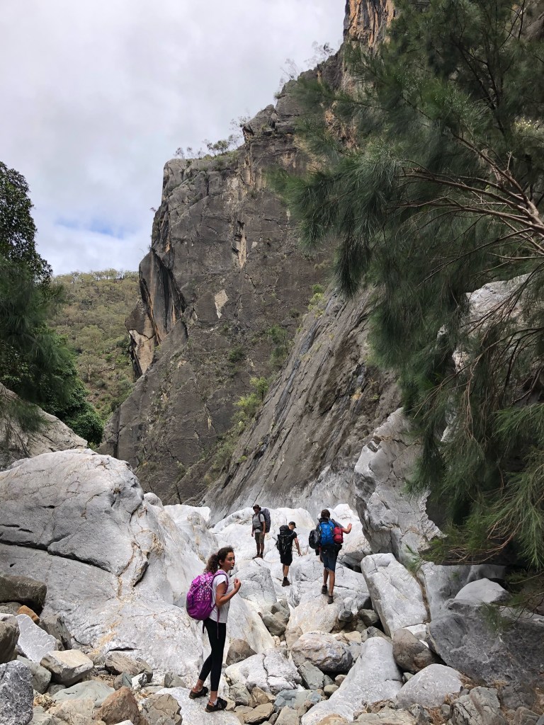
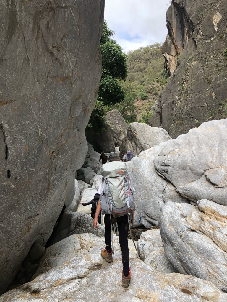
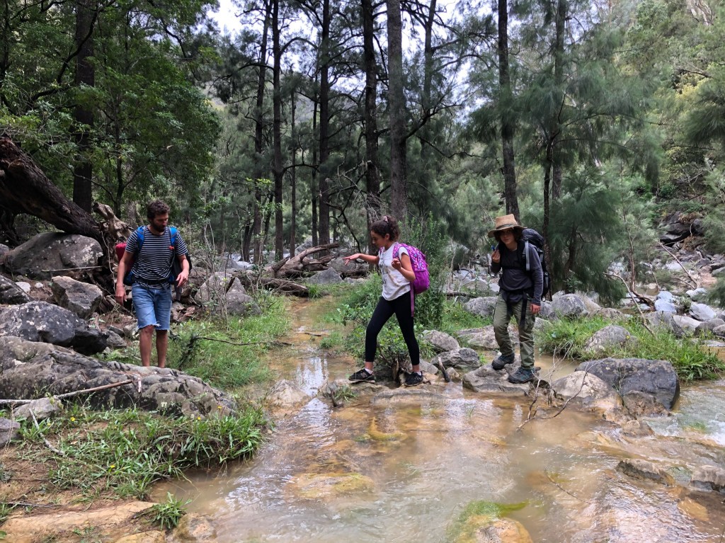
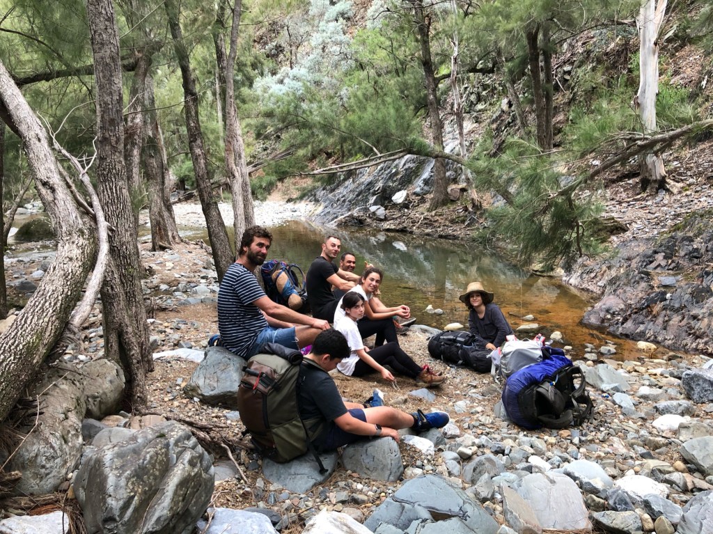
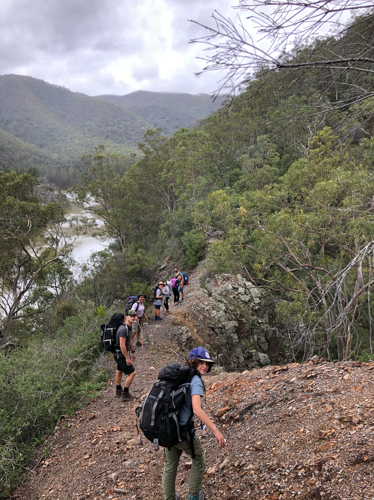
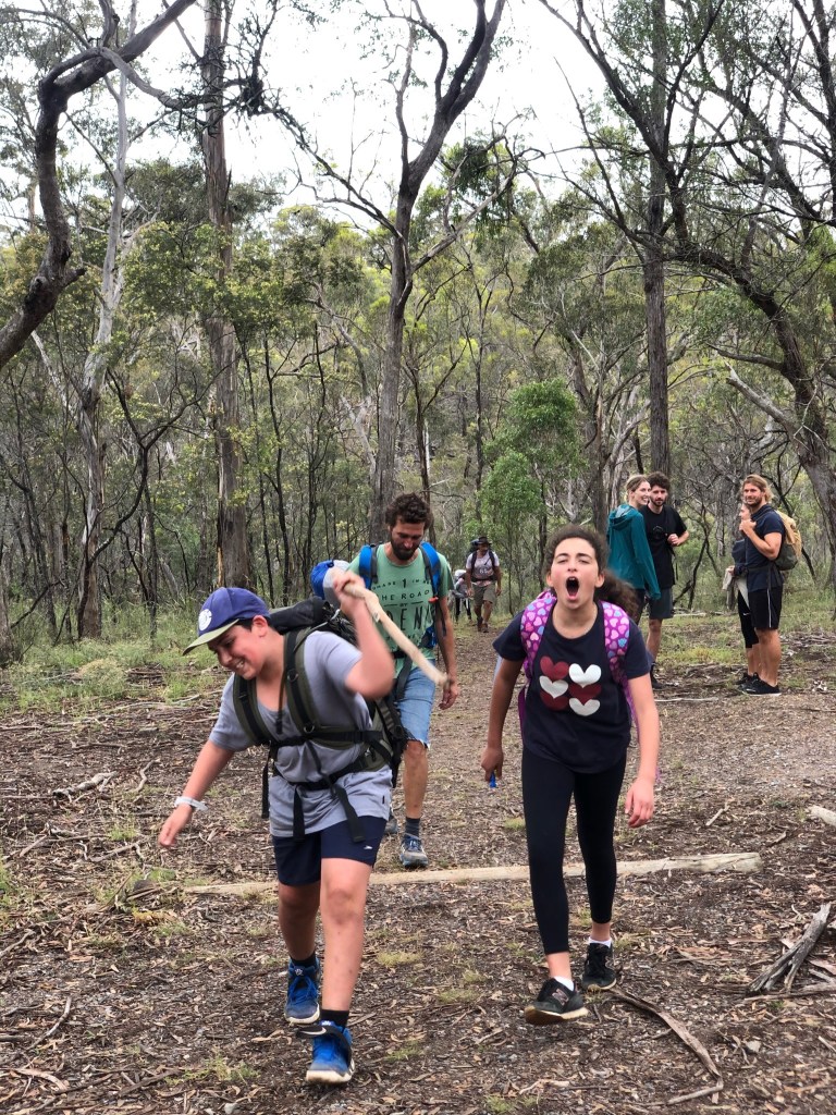
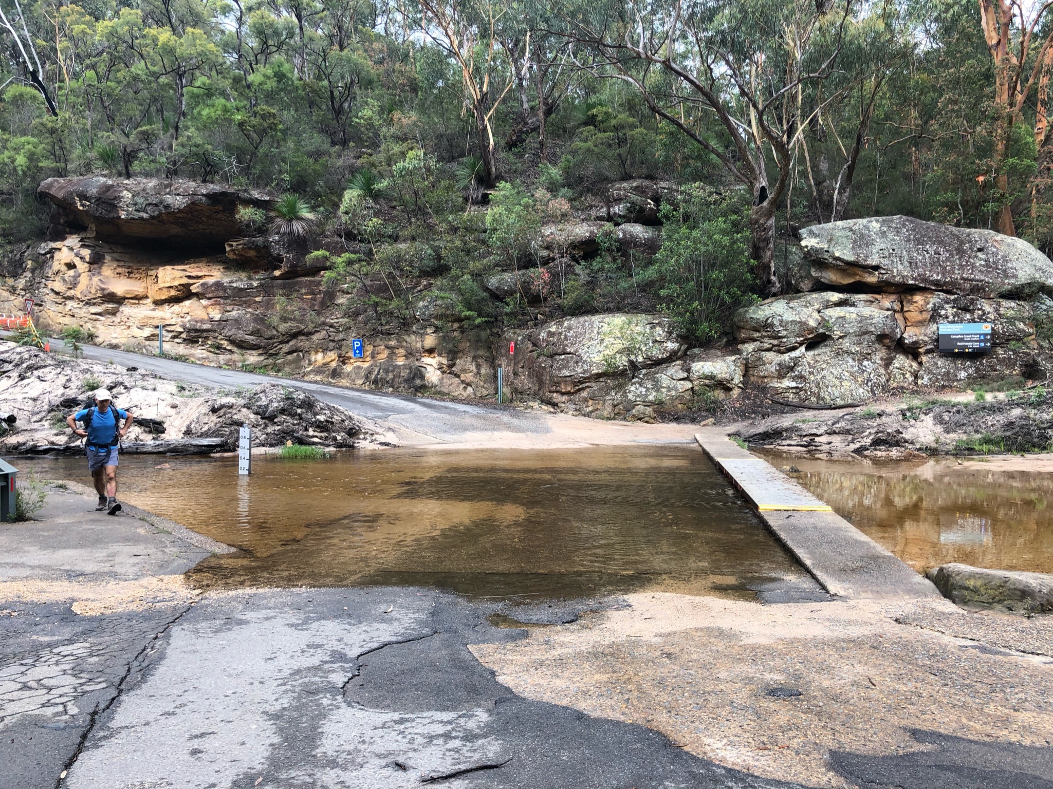
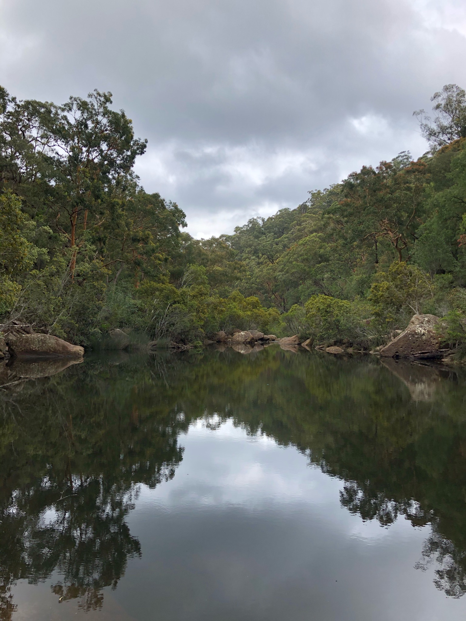
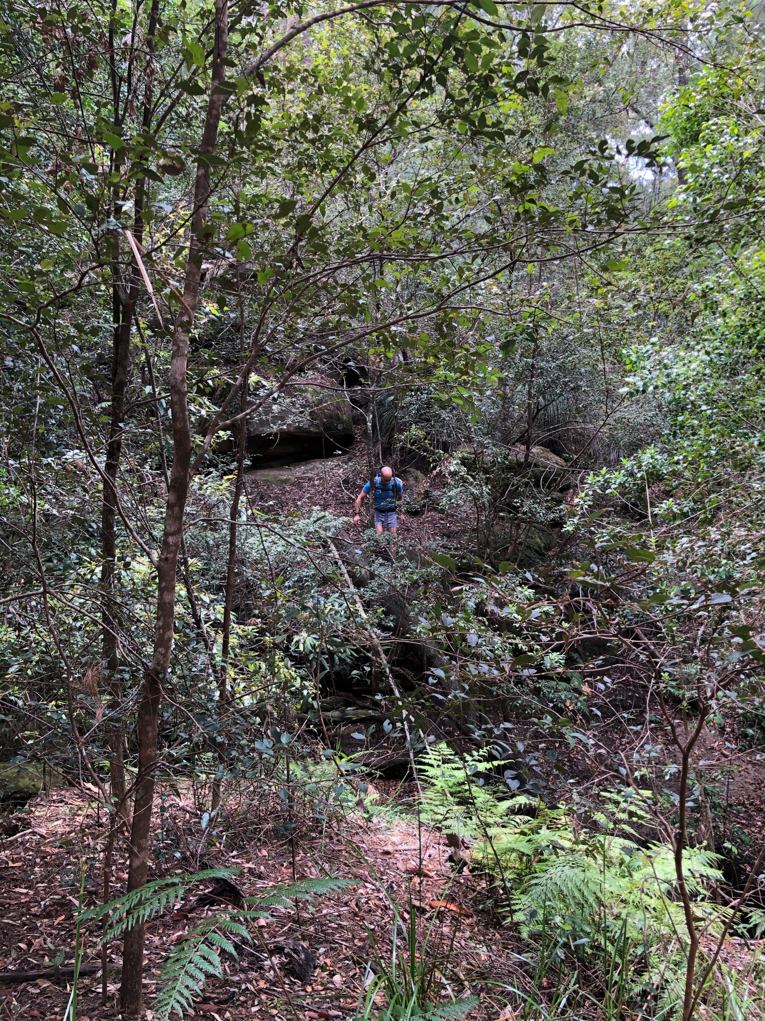
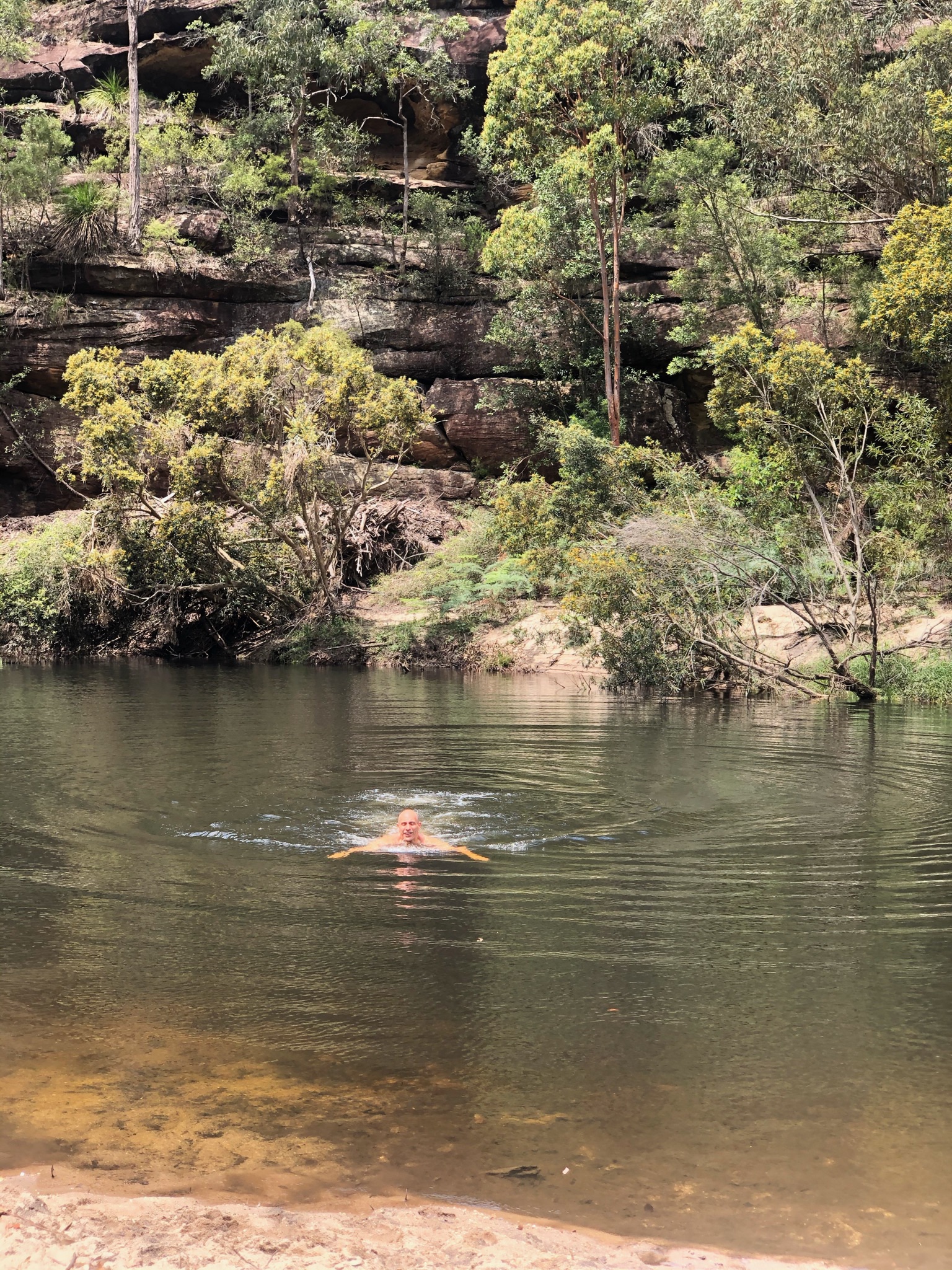
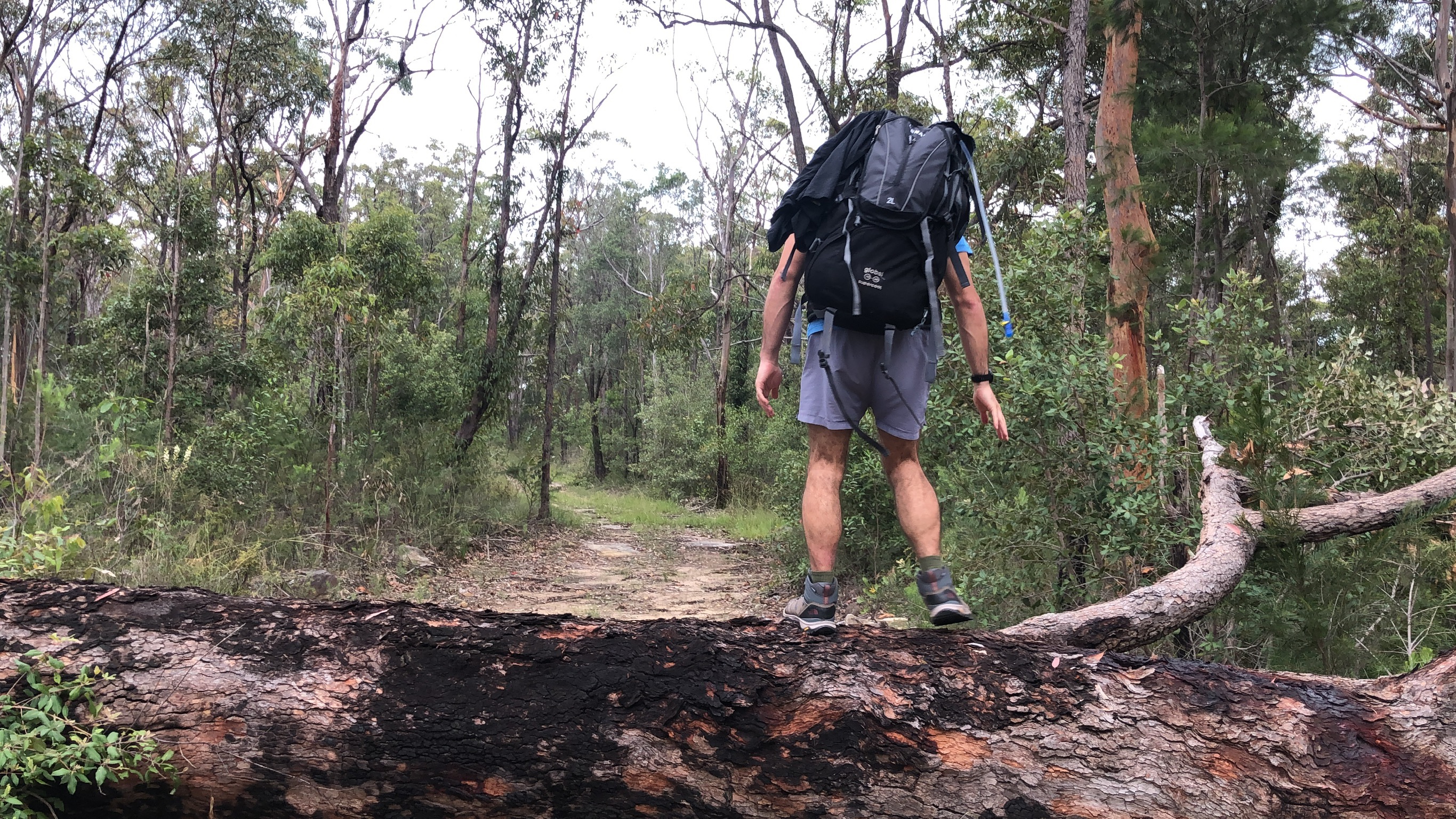
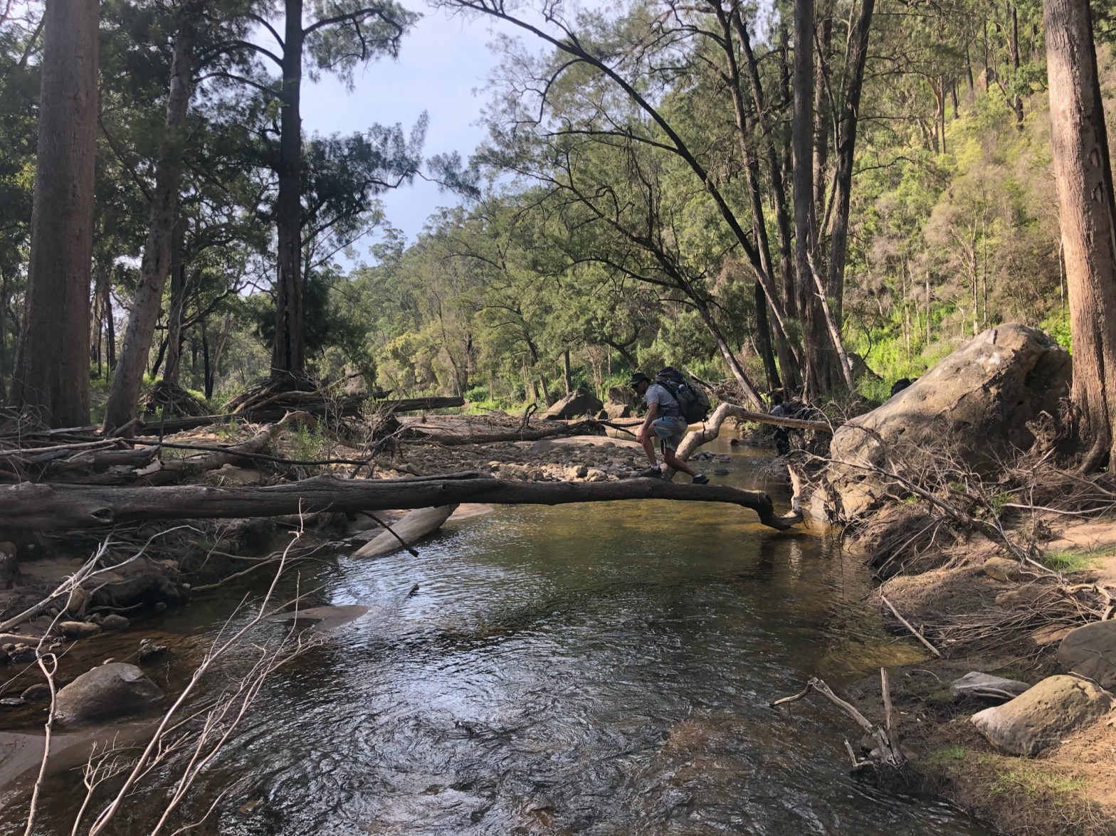
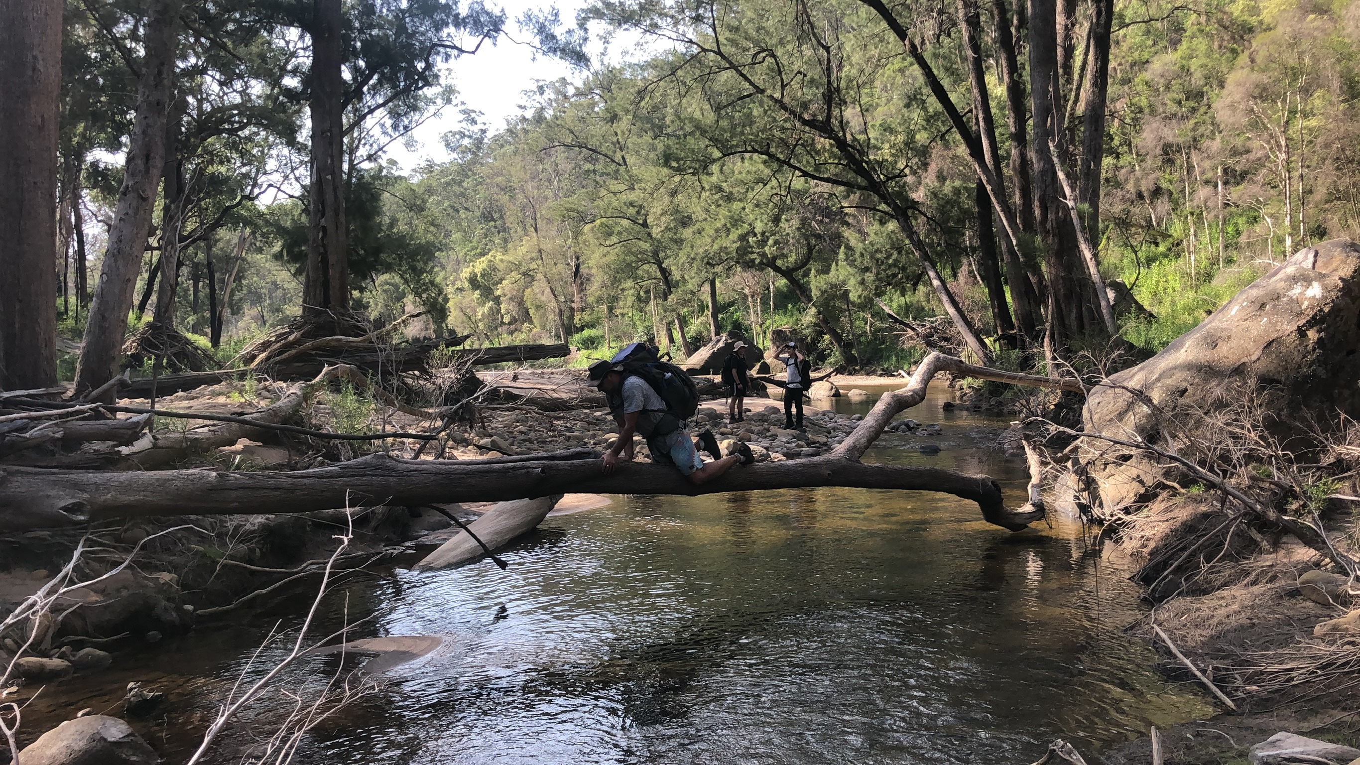
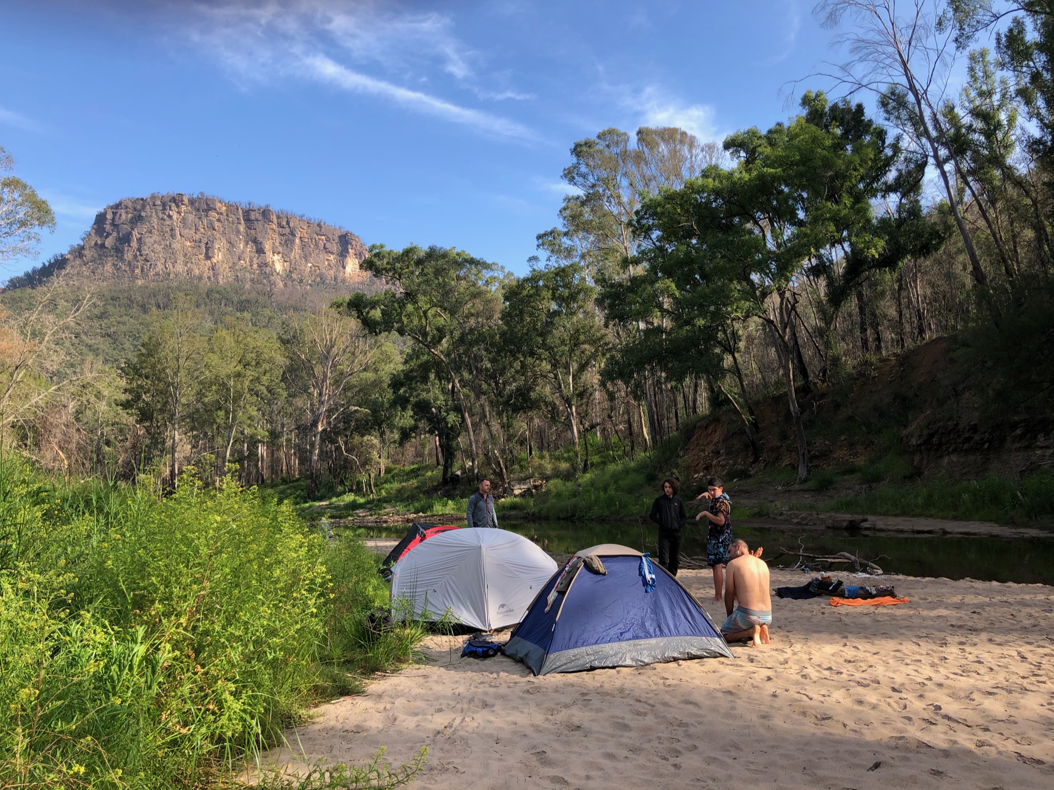
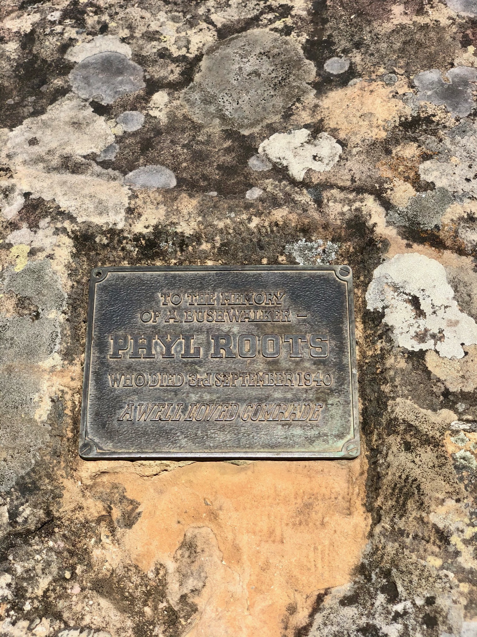
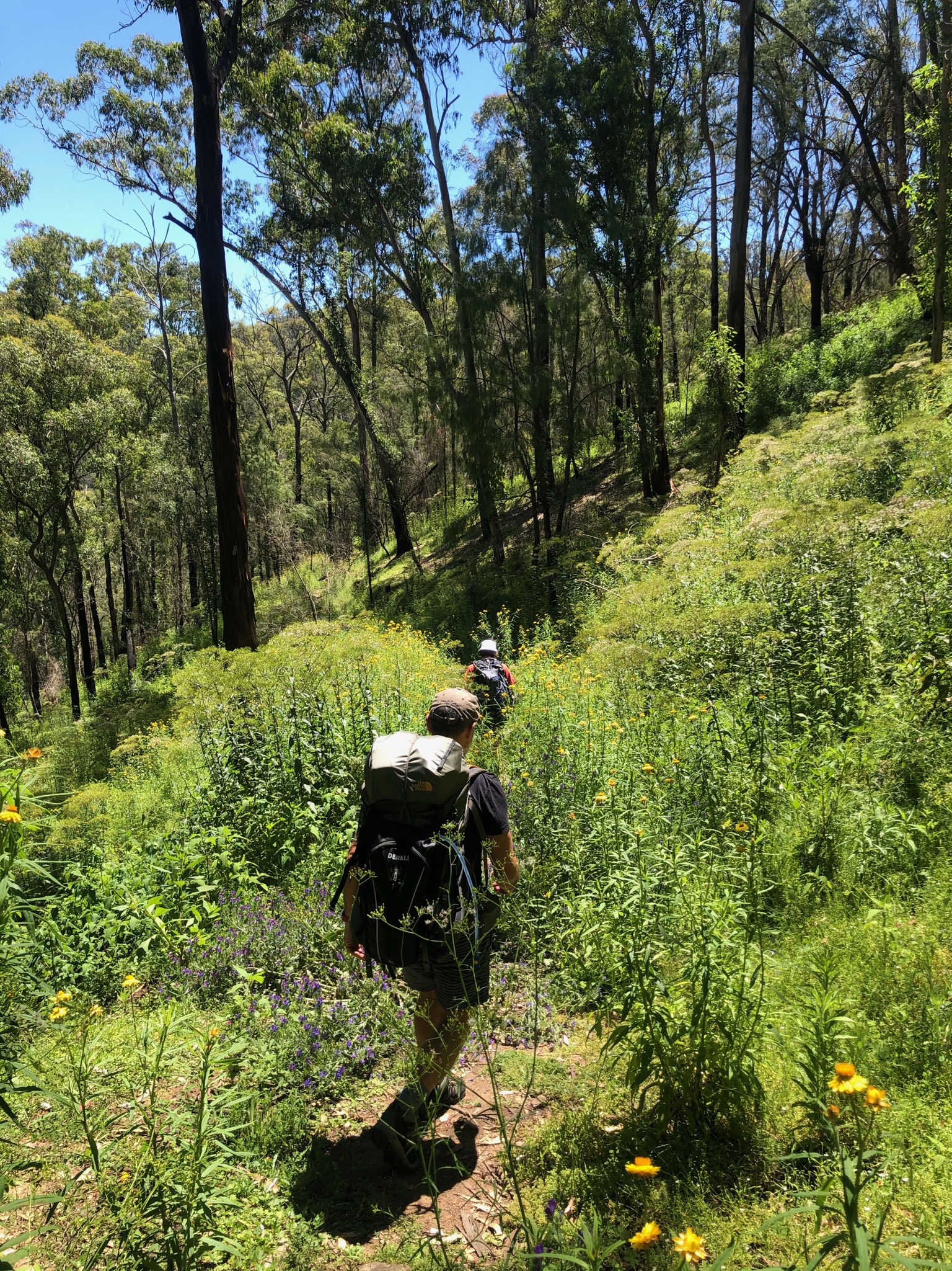
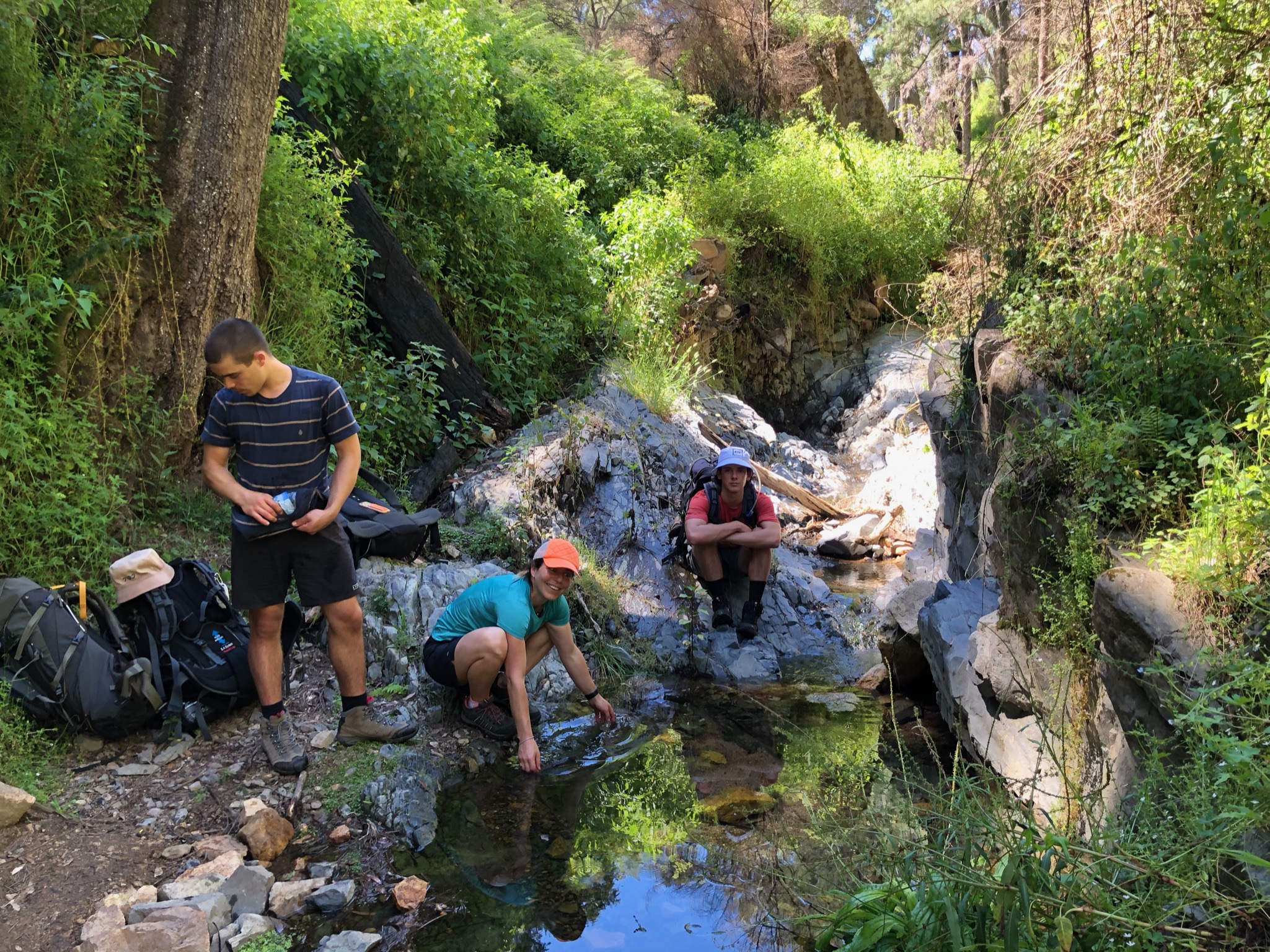
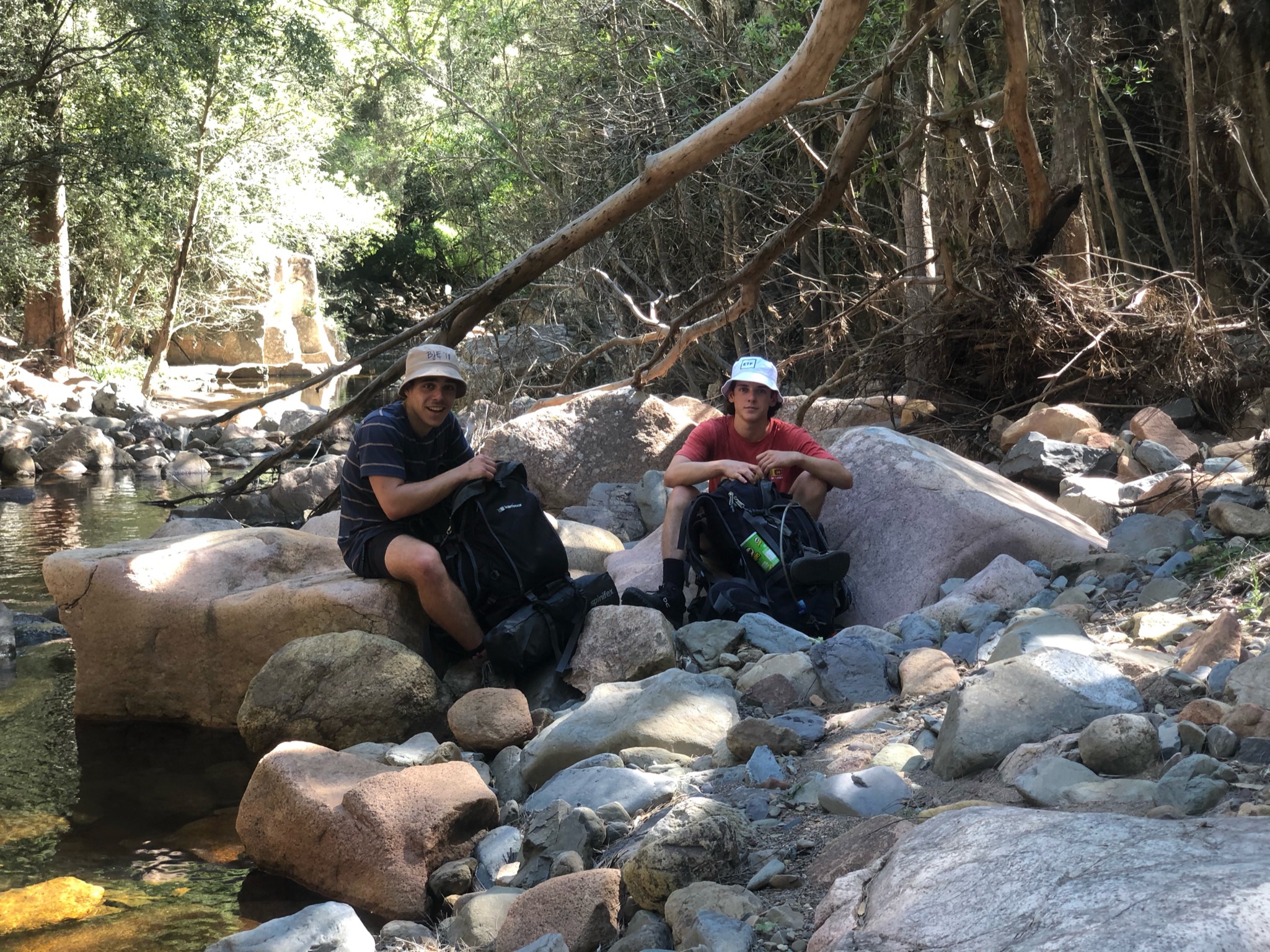
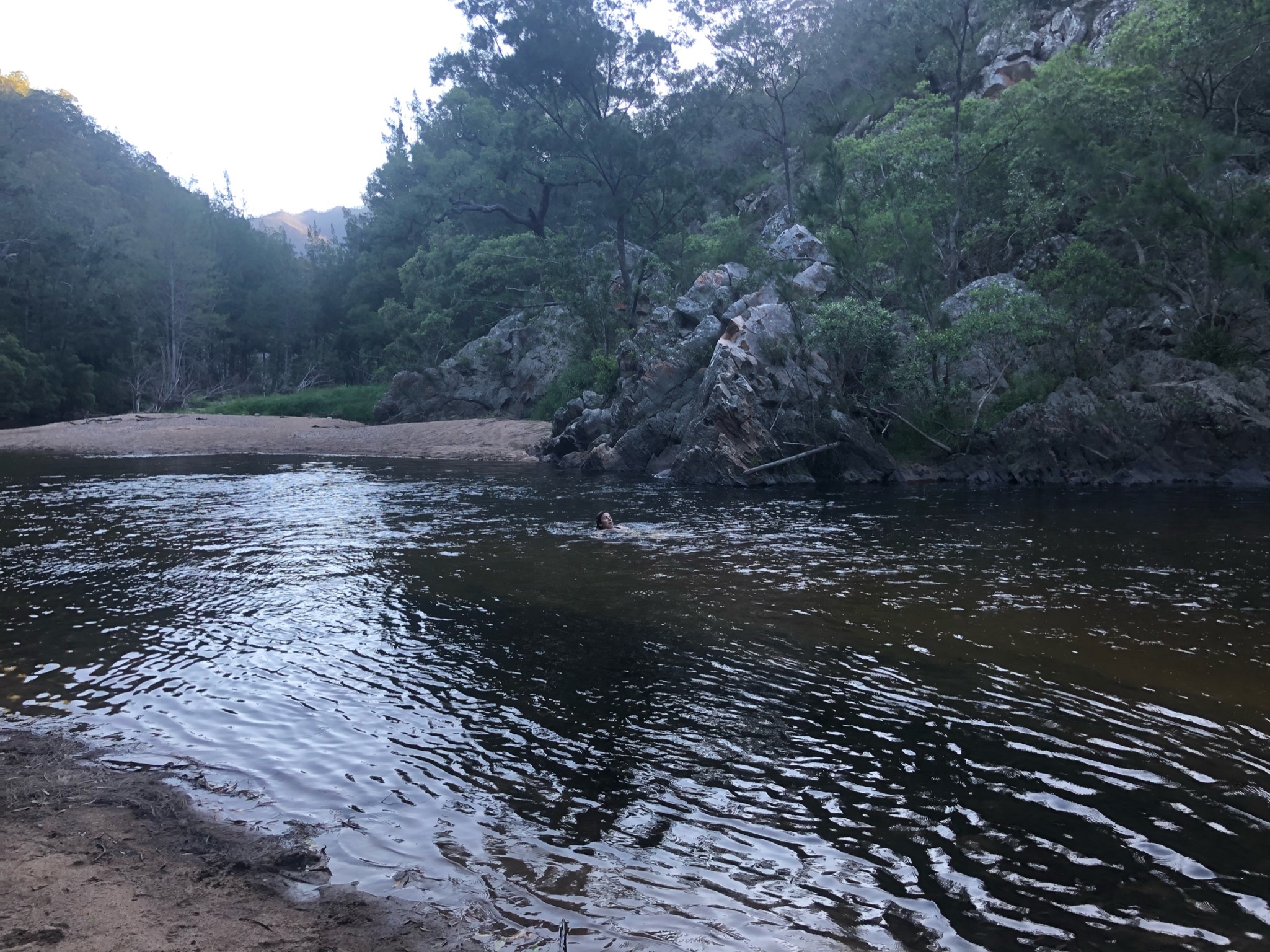
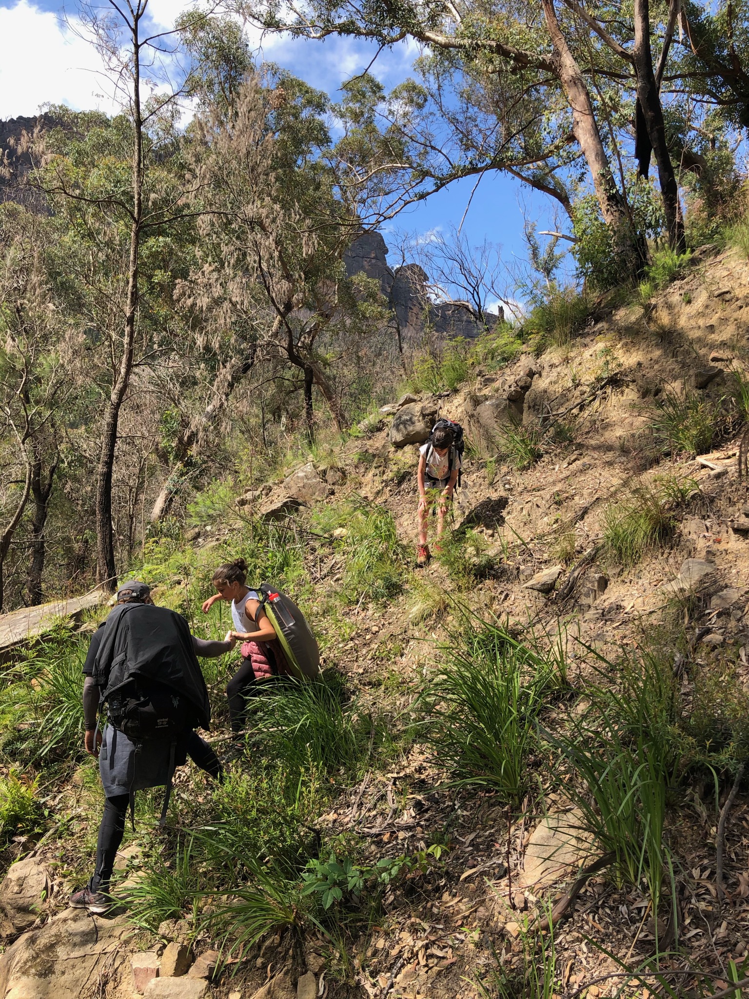
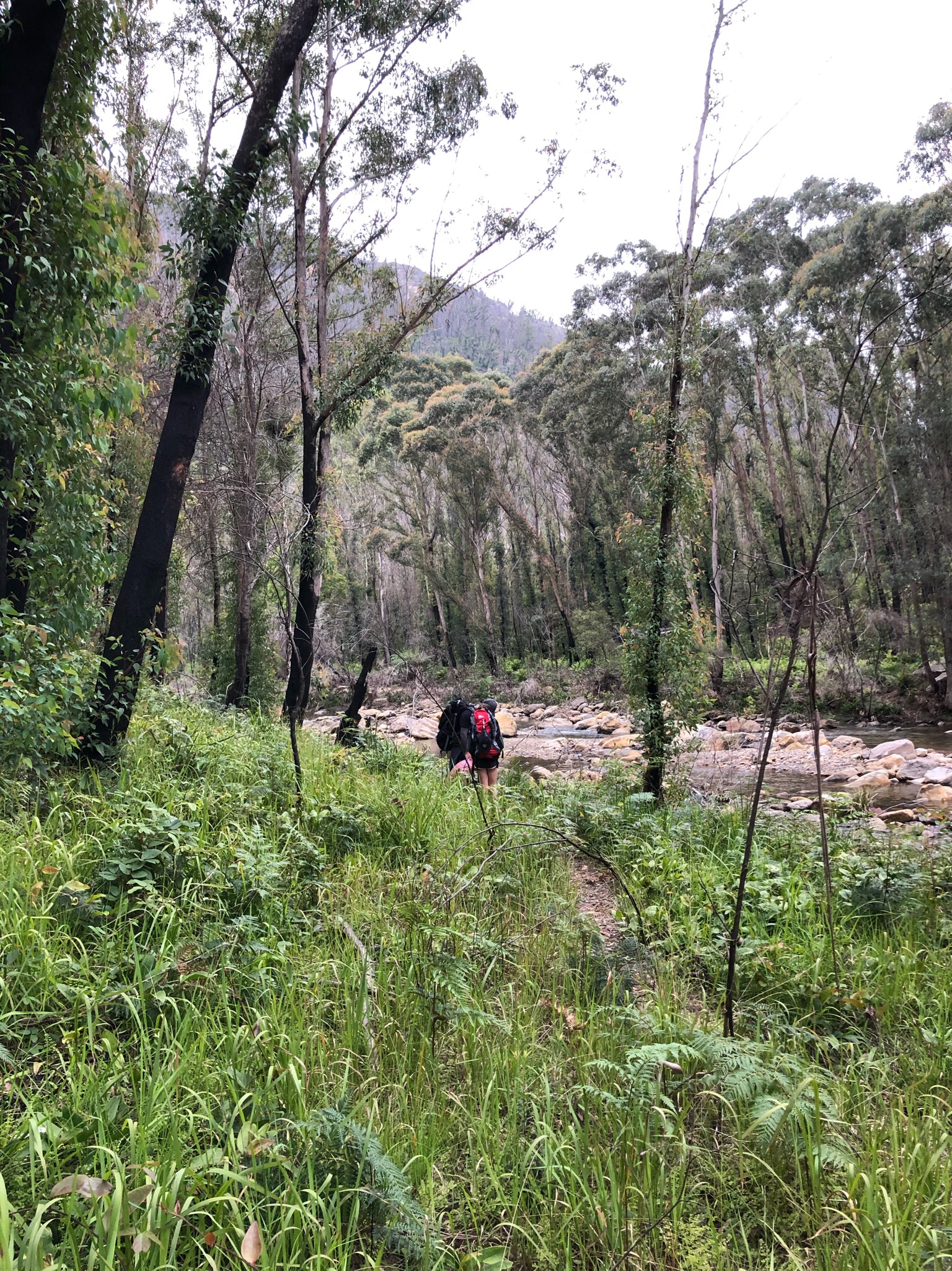
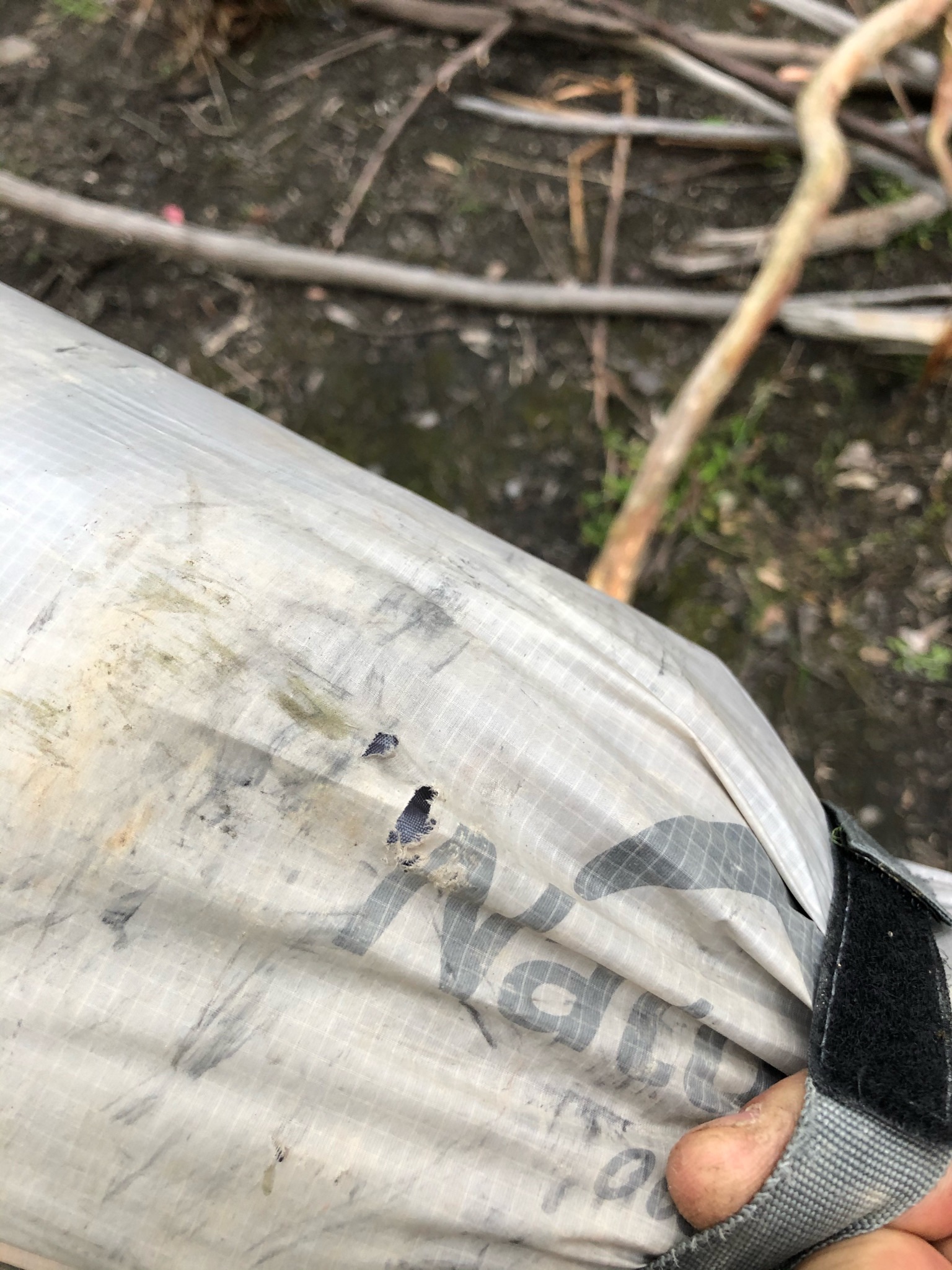
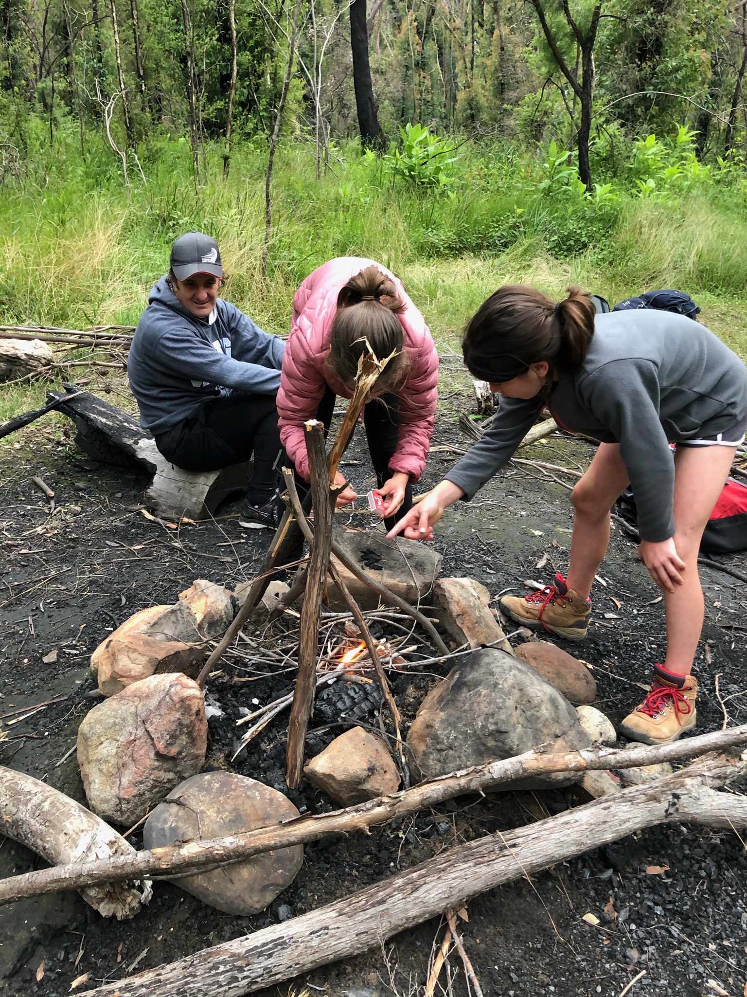
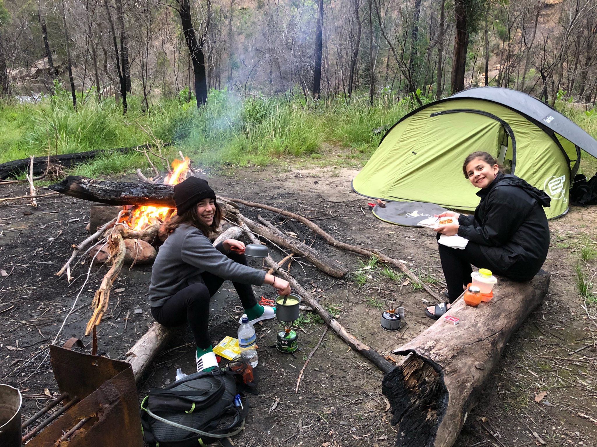
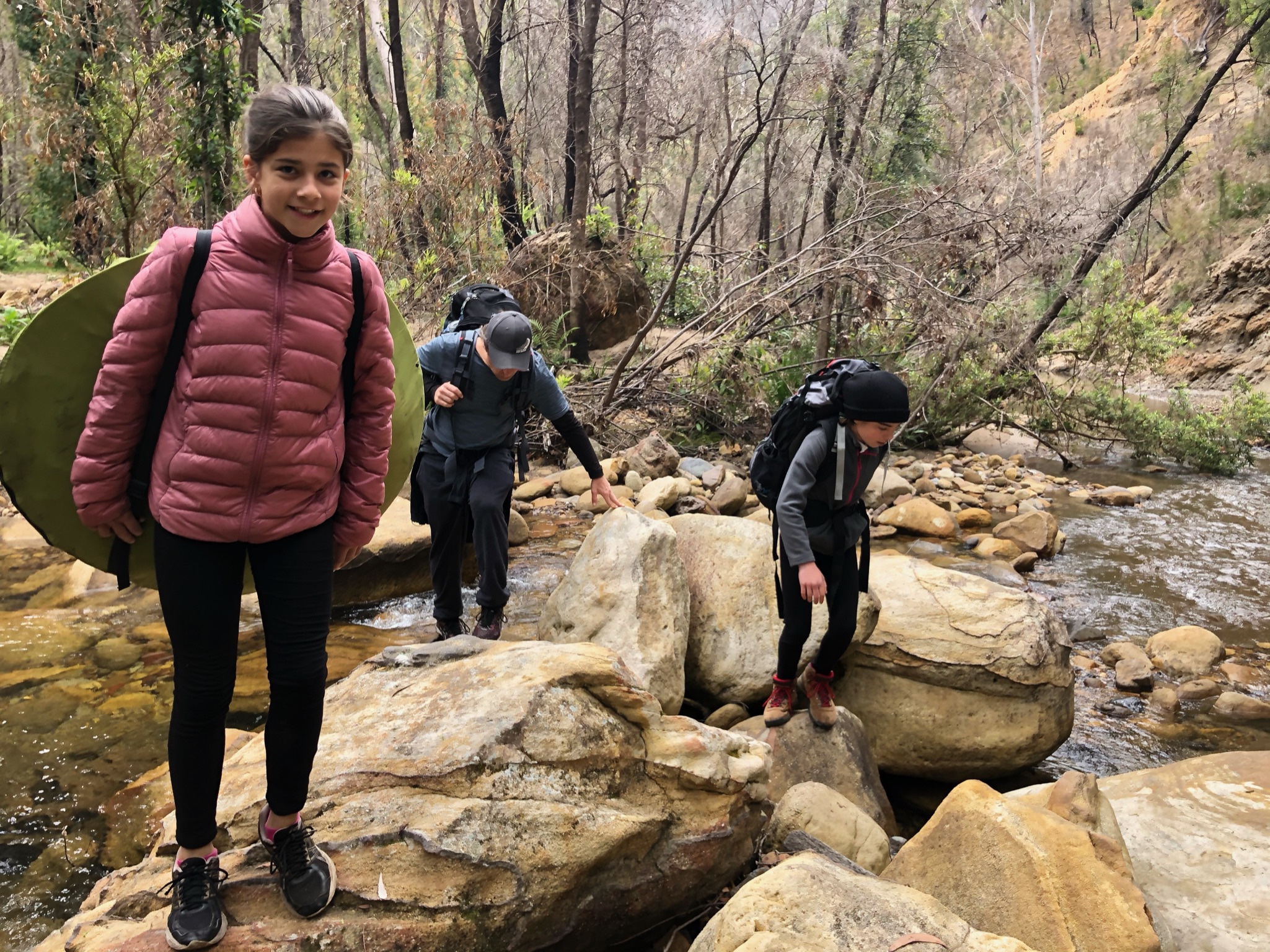
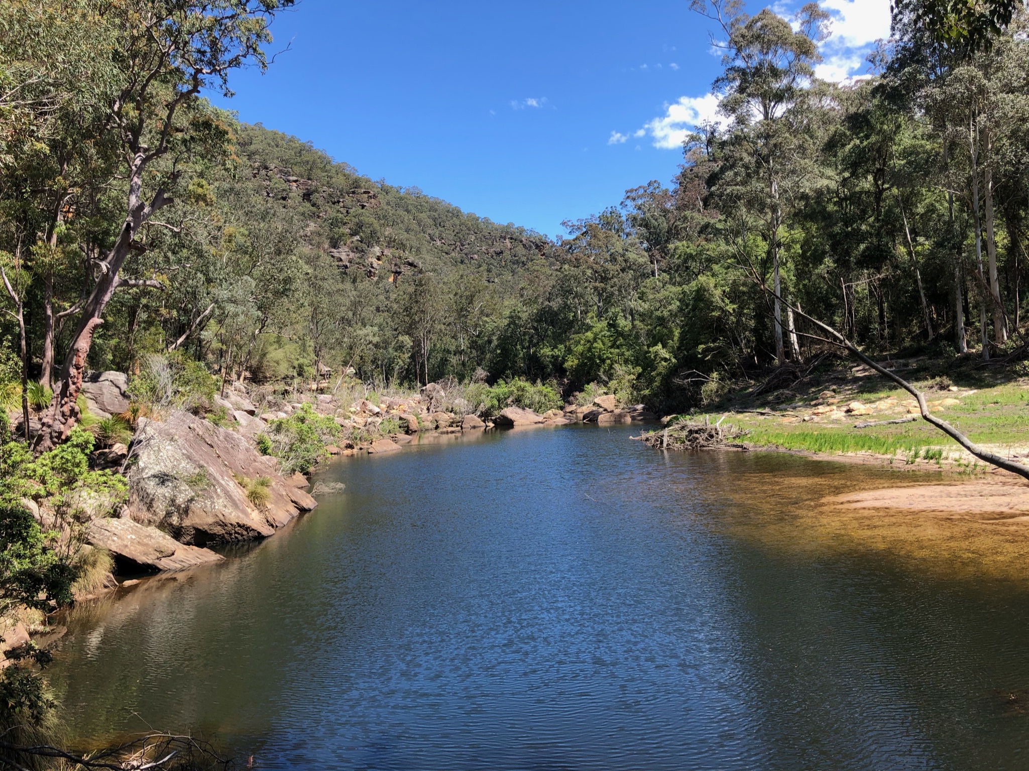
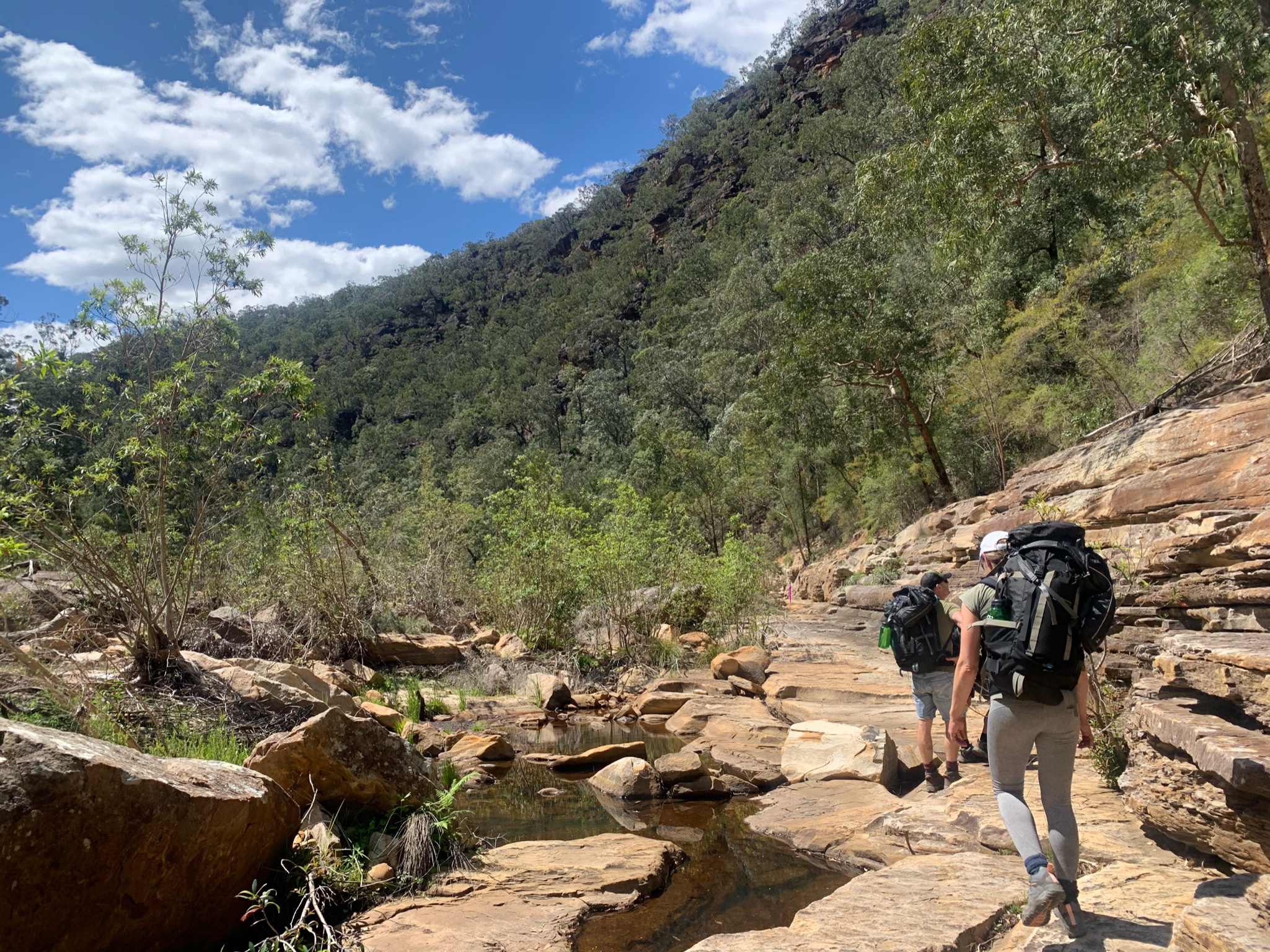
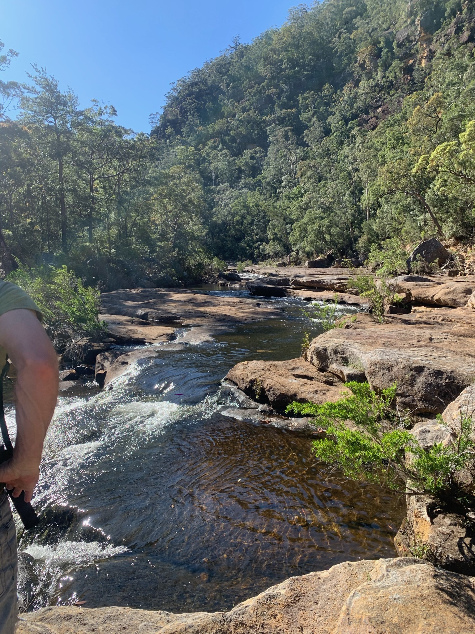
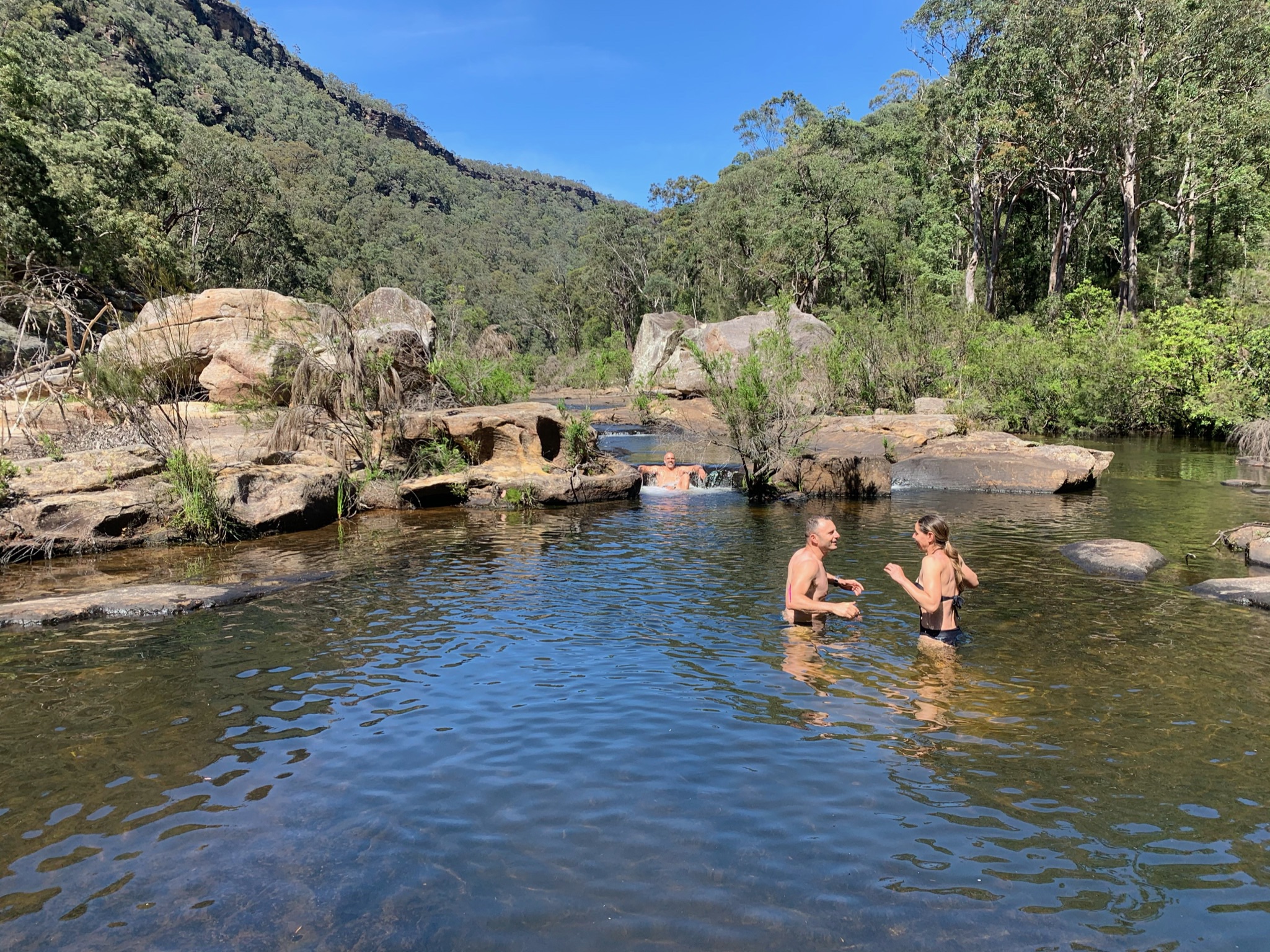
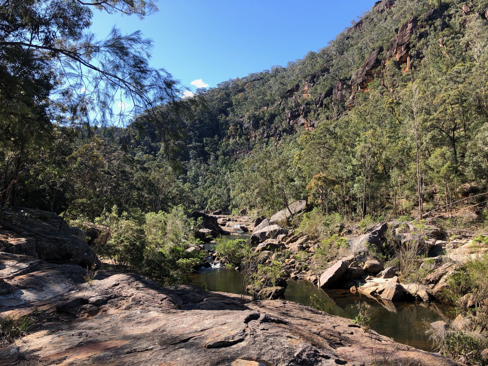
We tracked down to Kowmung via Roots Ridge. Hard going. 8 hours each way, but started early so had plenty of time. The sunrise over the Walls is spectacular, arrive to the trail head at least 30 minutes before sunrise. Getting down to Coal Seam Cave is easy. Gingra Trail has a few overgrown shrubs in large sections making it a hard to see the ridge at times for their thickness, navigating gets tricky at times. Dropping down to Roots is easy going in parts (upper sections) and incredibly thick and tall weeds in others (we spent over an hour cutting through weeds double our height at one point, very hard work). The general gradient is long but manageable, nothing too technical besides the crazy overgrowth. Ribbons are visible for first part but stop half way down Roots when the overgrowth kicks in. The river is incredible, clean, fast flowing (it was after rain) and so refreshing. Even though overgrown in most parts we managed to landscape a spot and enjoyed our swims in the super refreshing water. The route cannot be done without right gear for tackling overgrowth, but we loved it nonetheless. I wouldn’t recommend it to the inexperienced (in fact very dangerous) but for experienced ppl up for a gruelling challenge (and punishment).

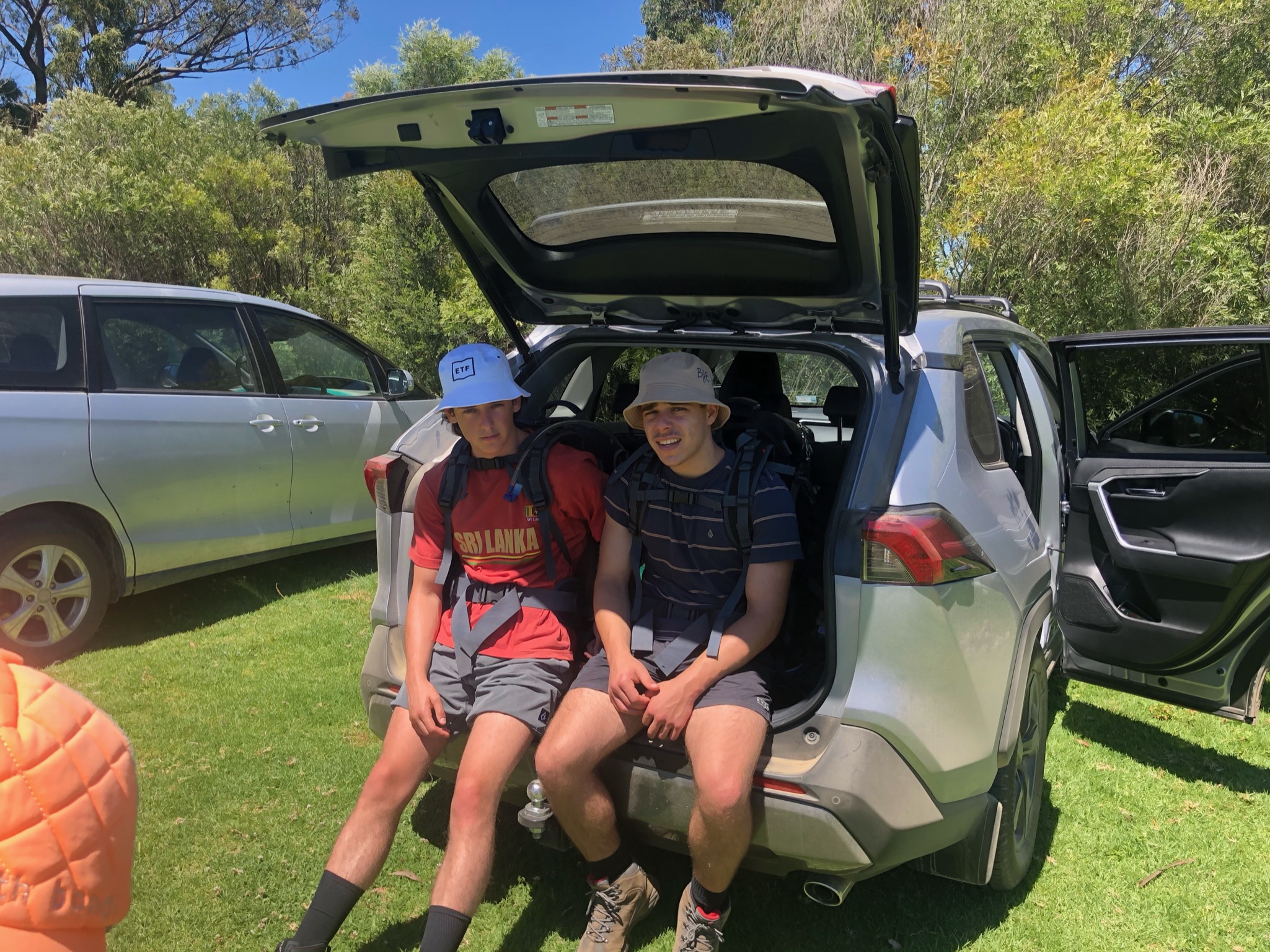
4am start to catch the sunrise 
Cloudy with a chance of meatballs 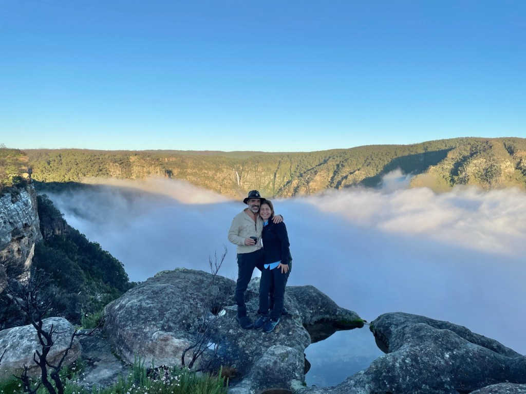
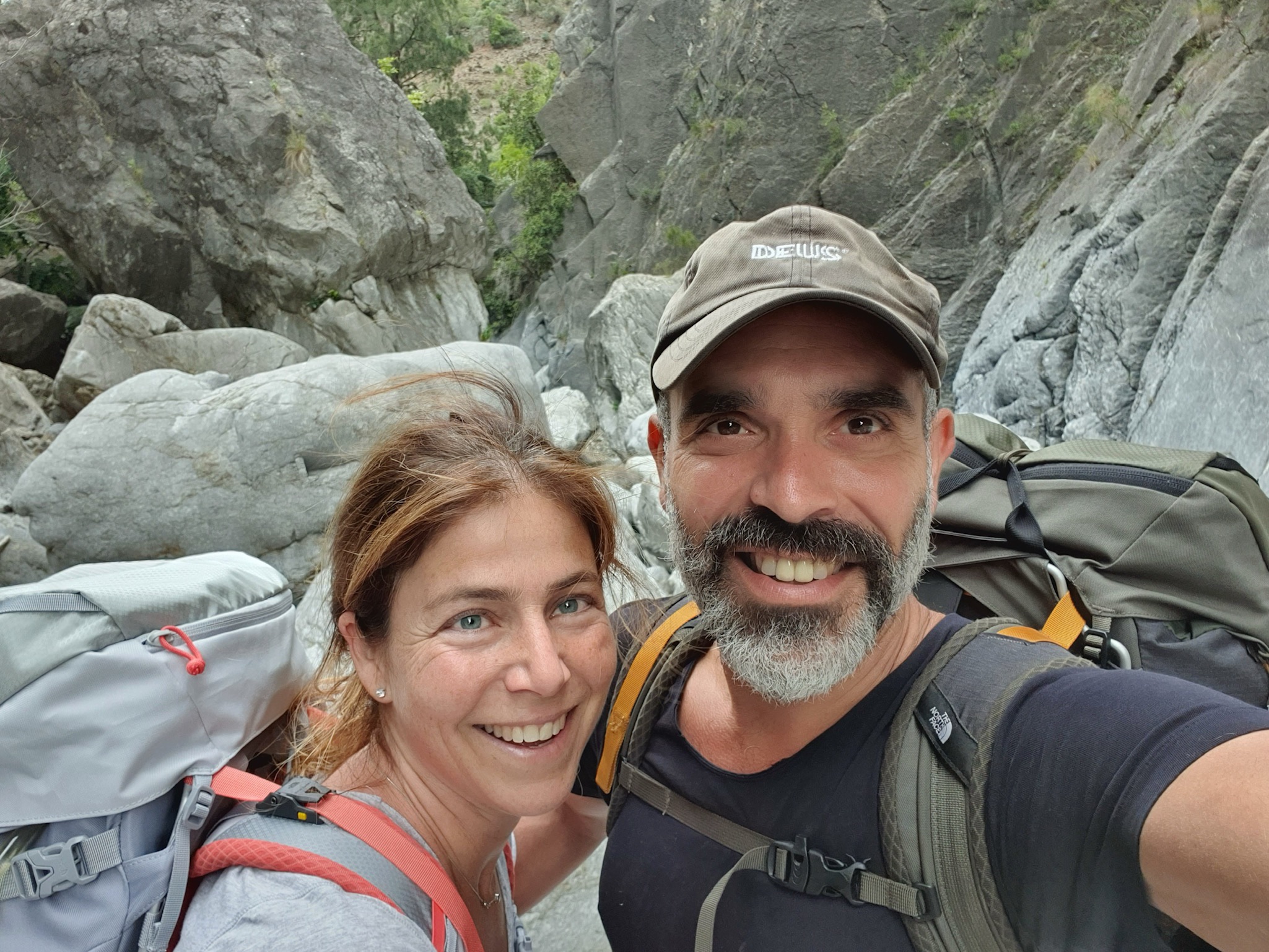
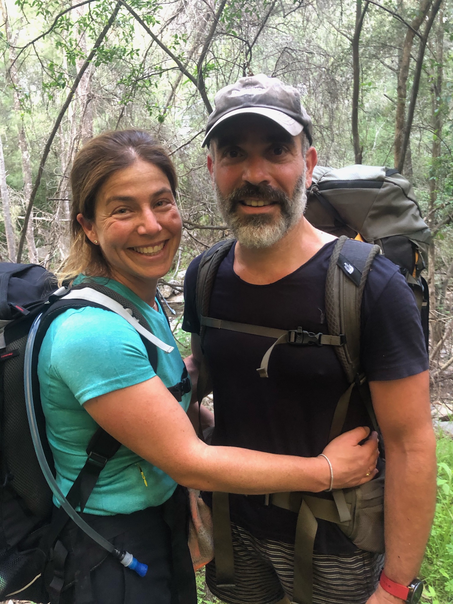
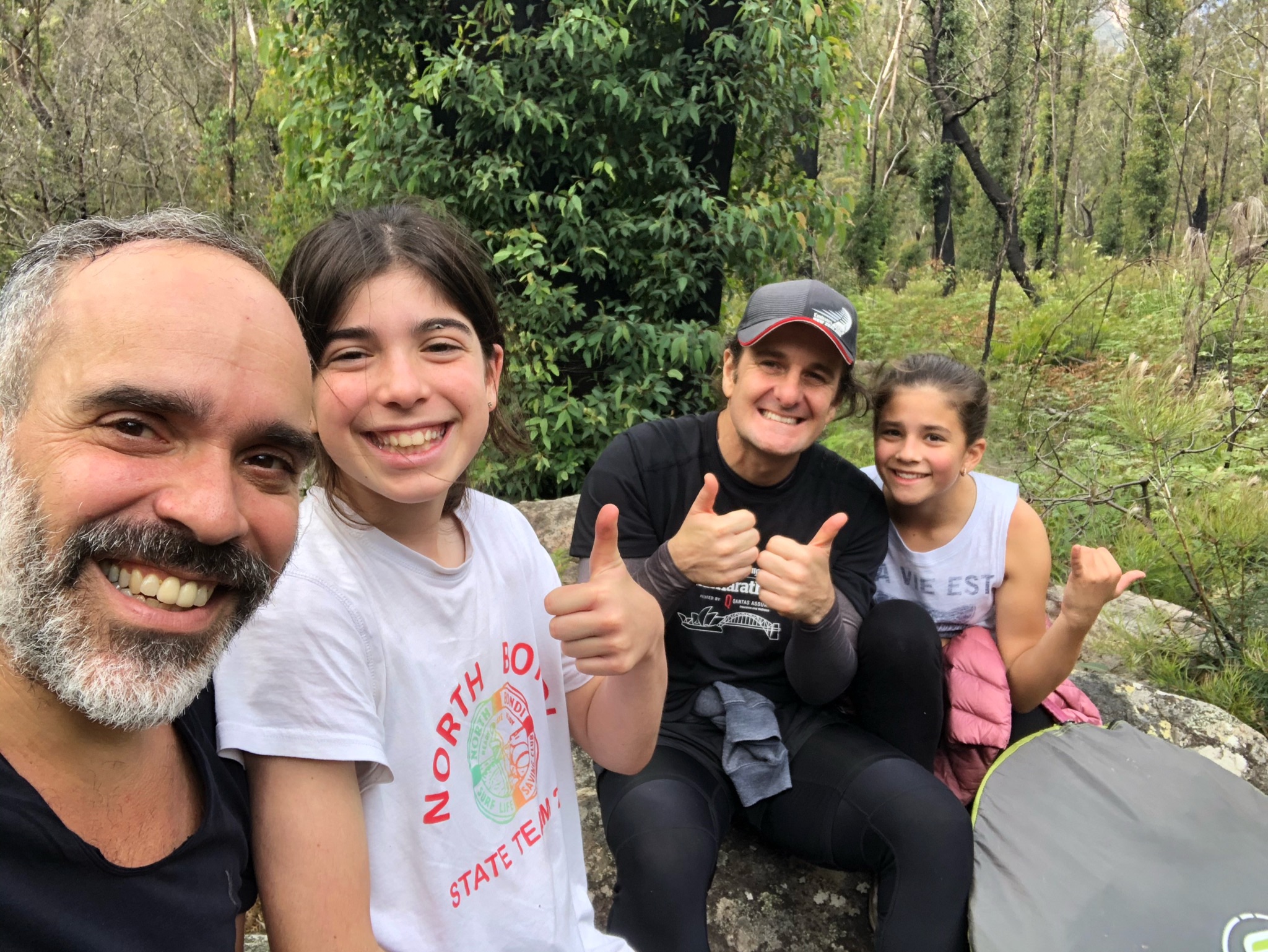
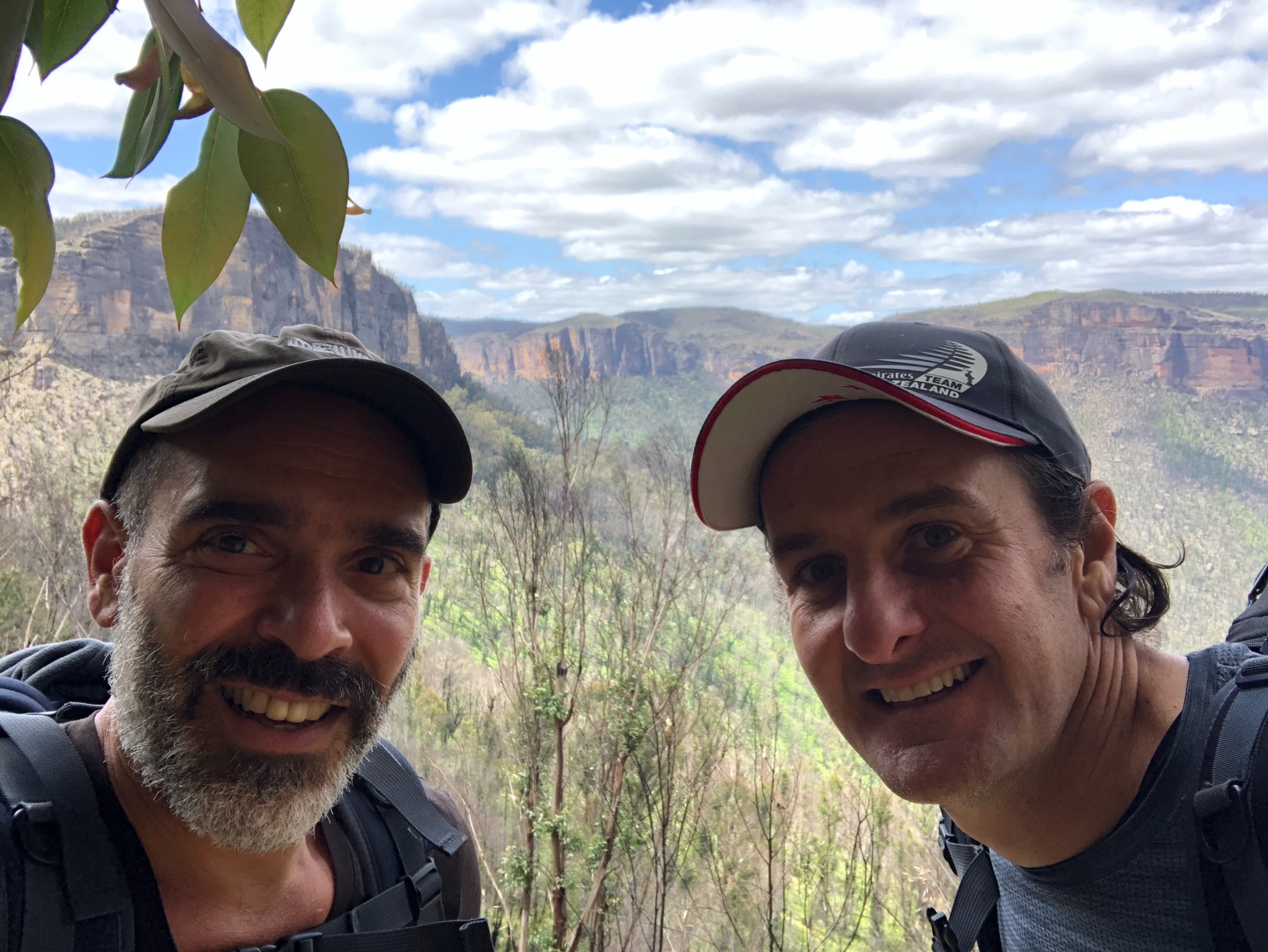
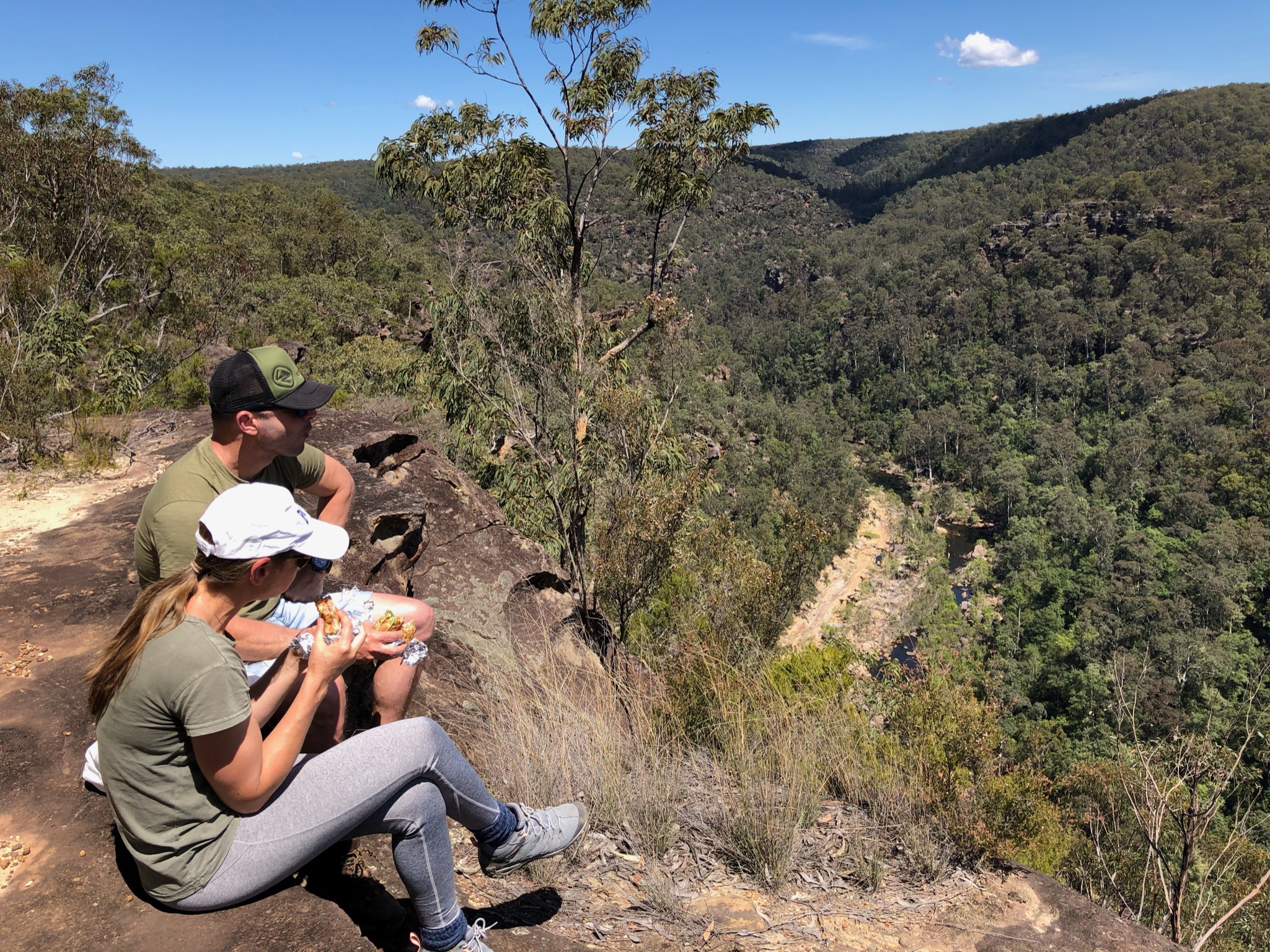
Partner 
Clearing clouds 
hello! 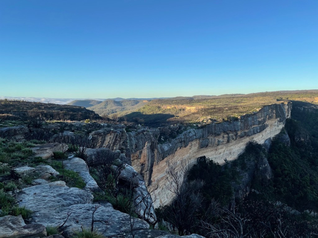
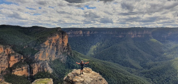
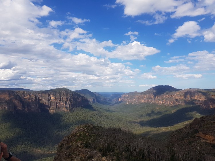
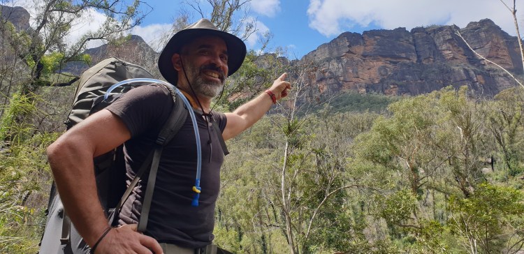
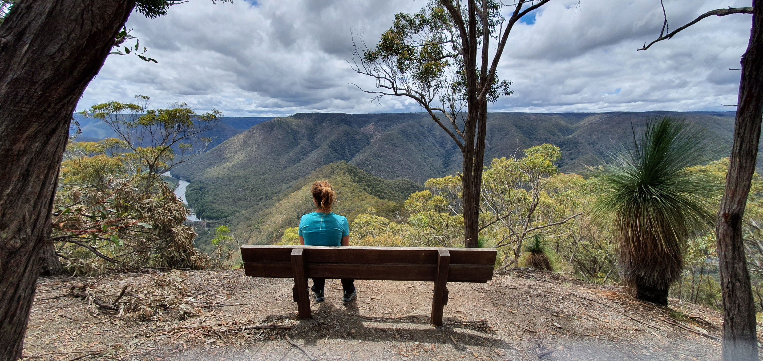
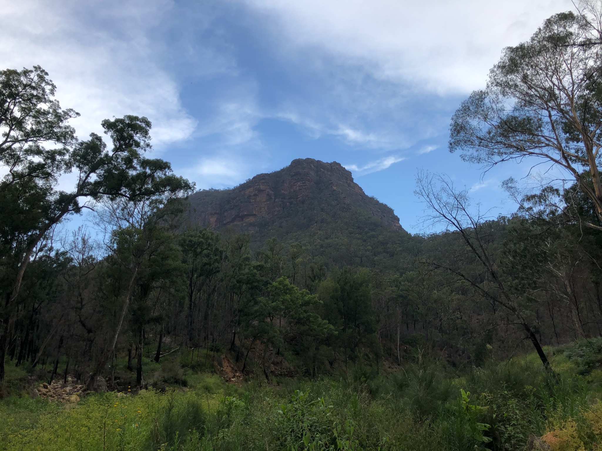
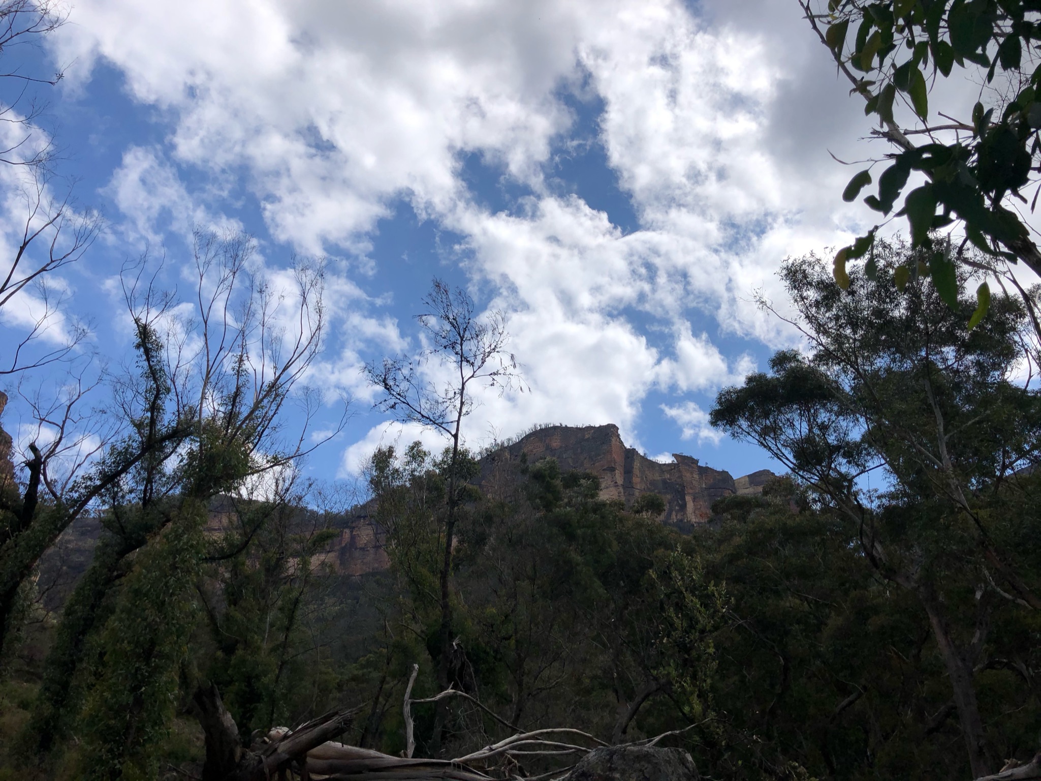
The Walls 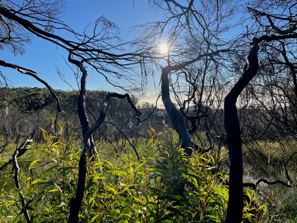
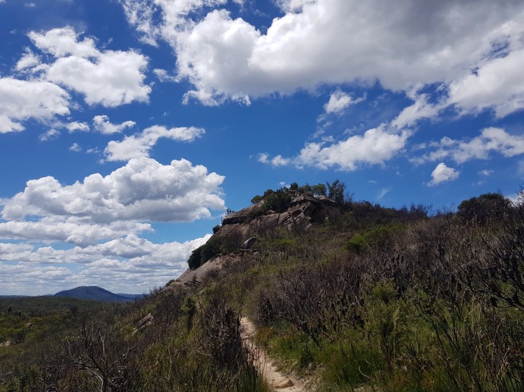
Walking the Plateau 
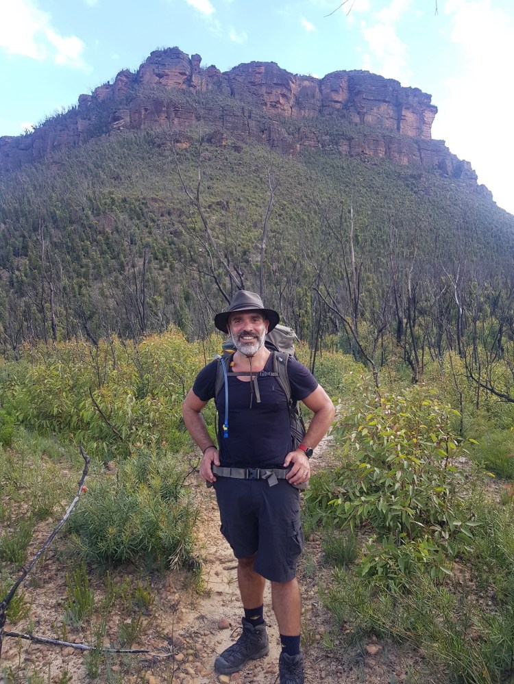
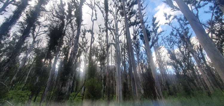
Fire damage 
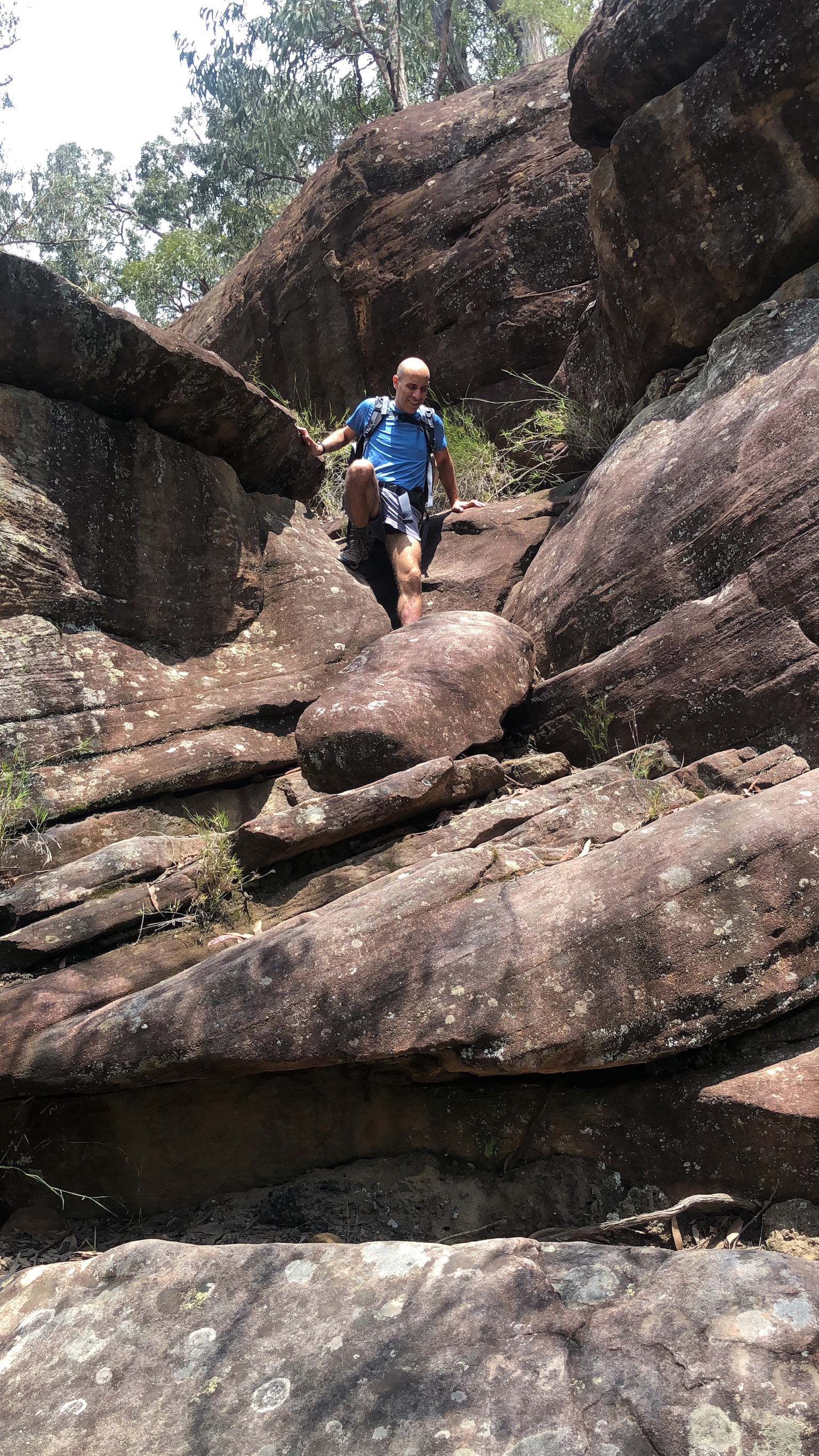
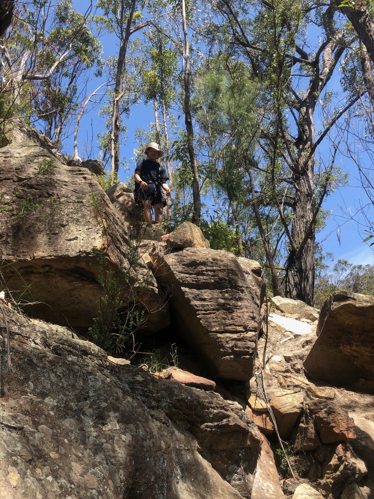
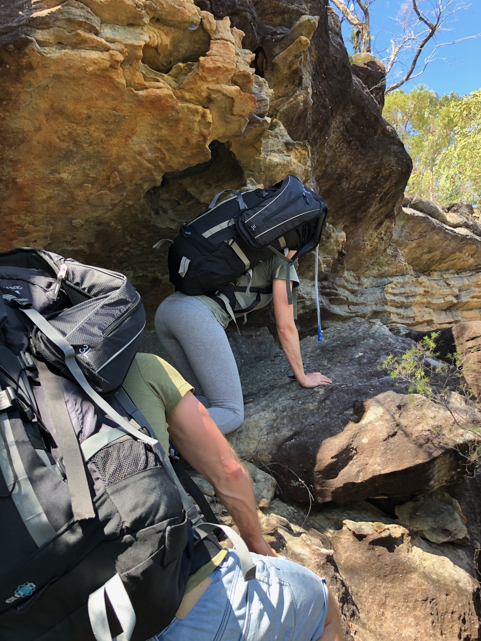
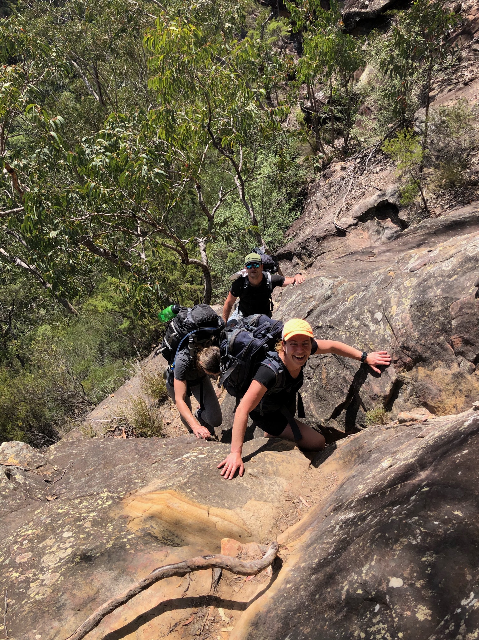
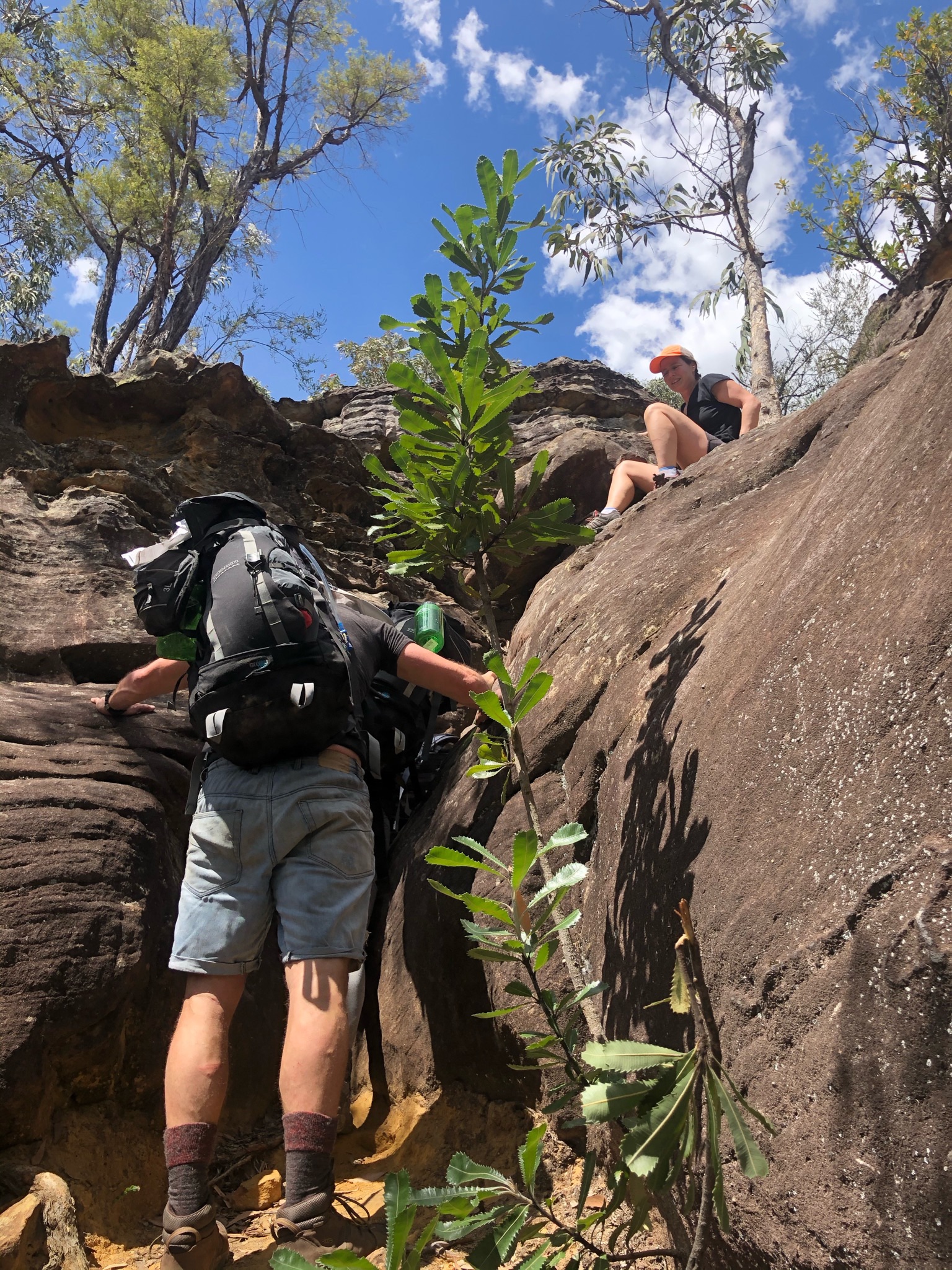
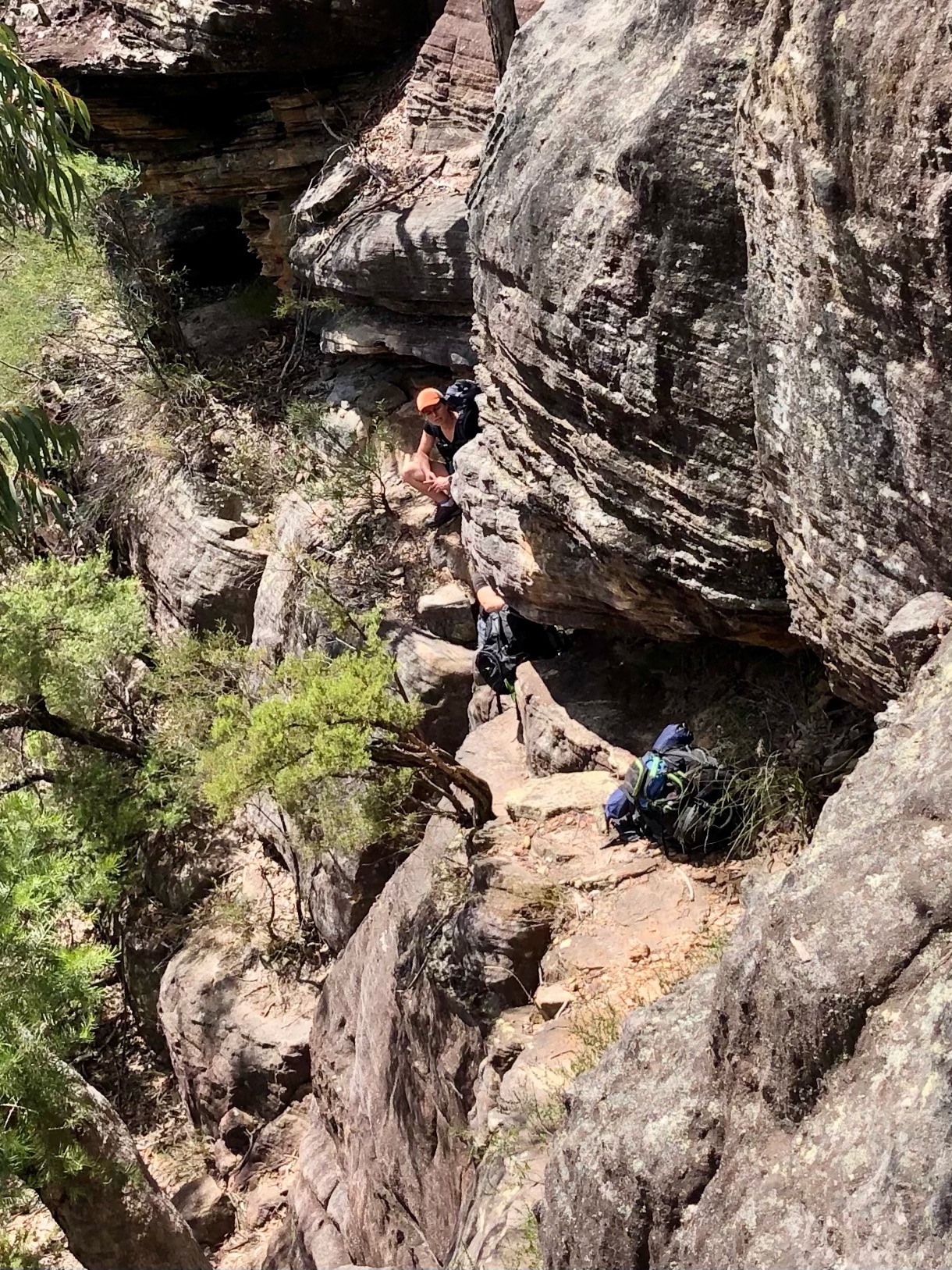
Some scrambling but not too much 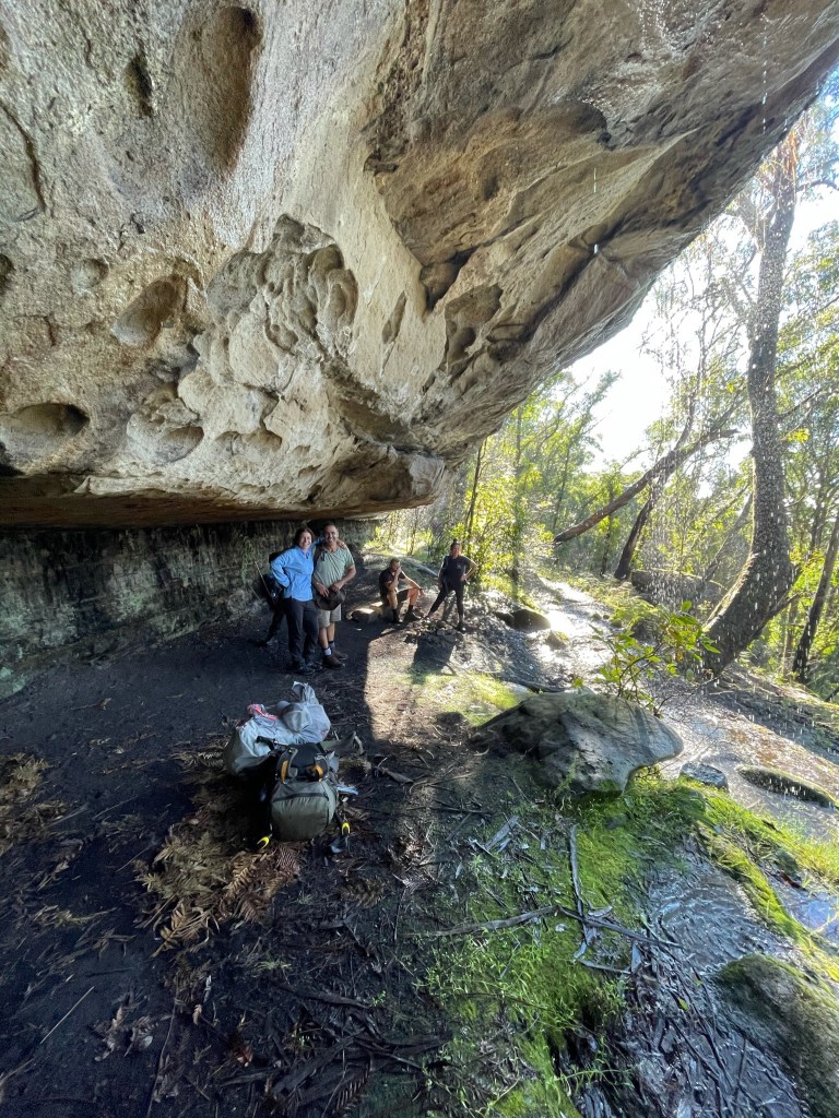
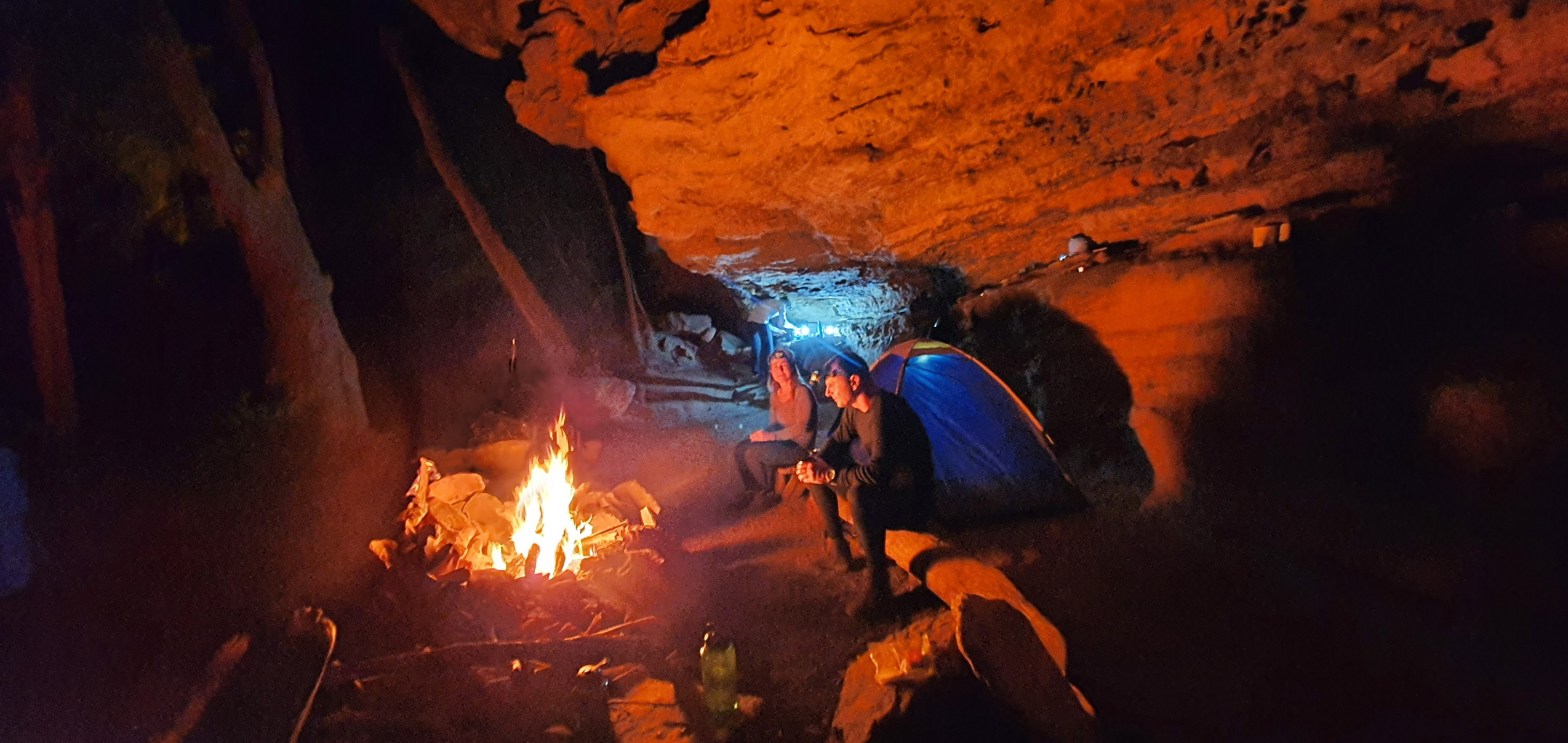
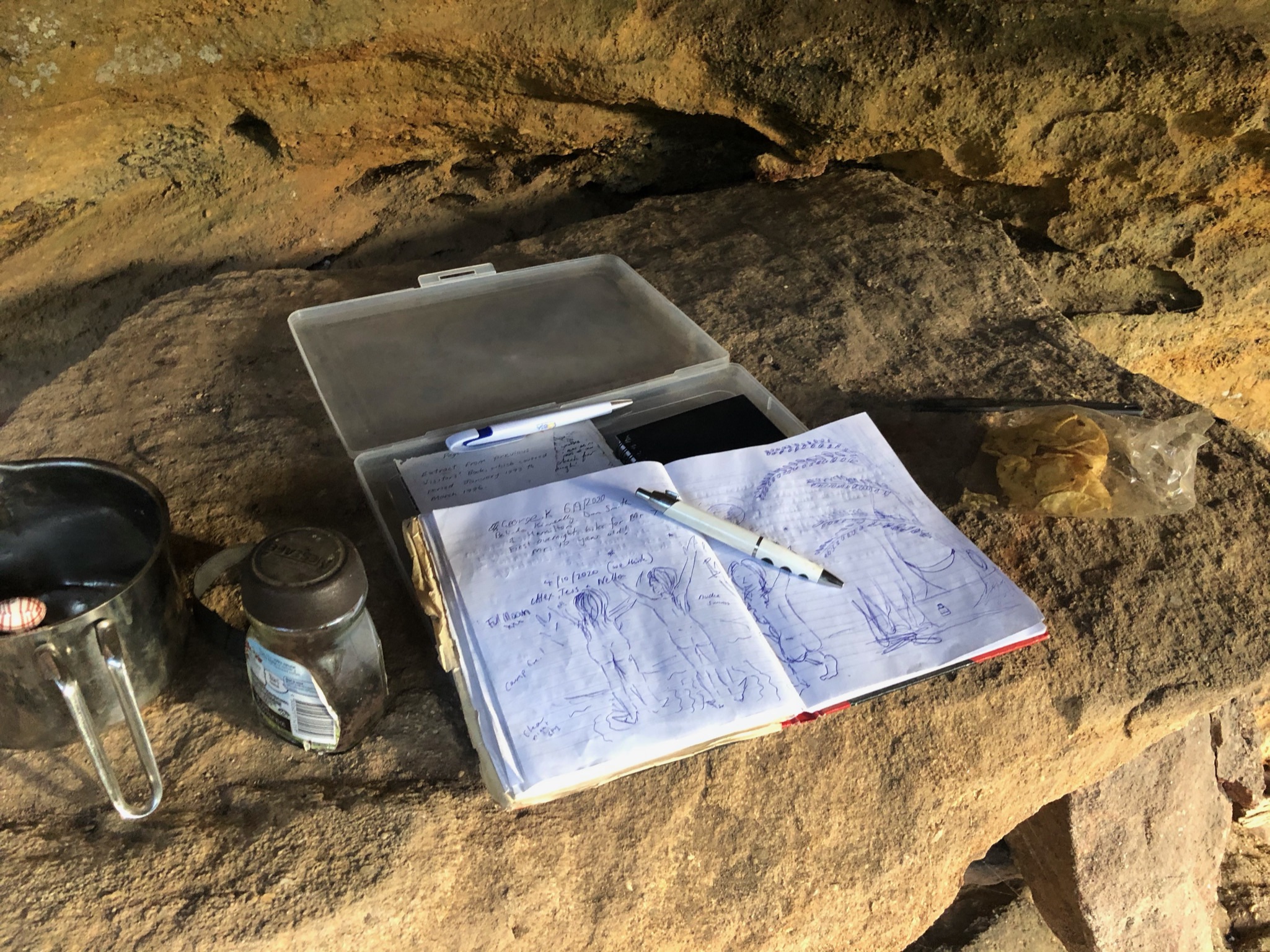
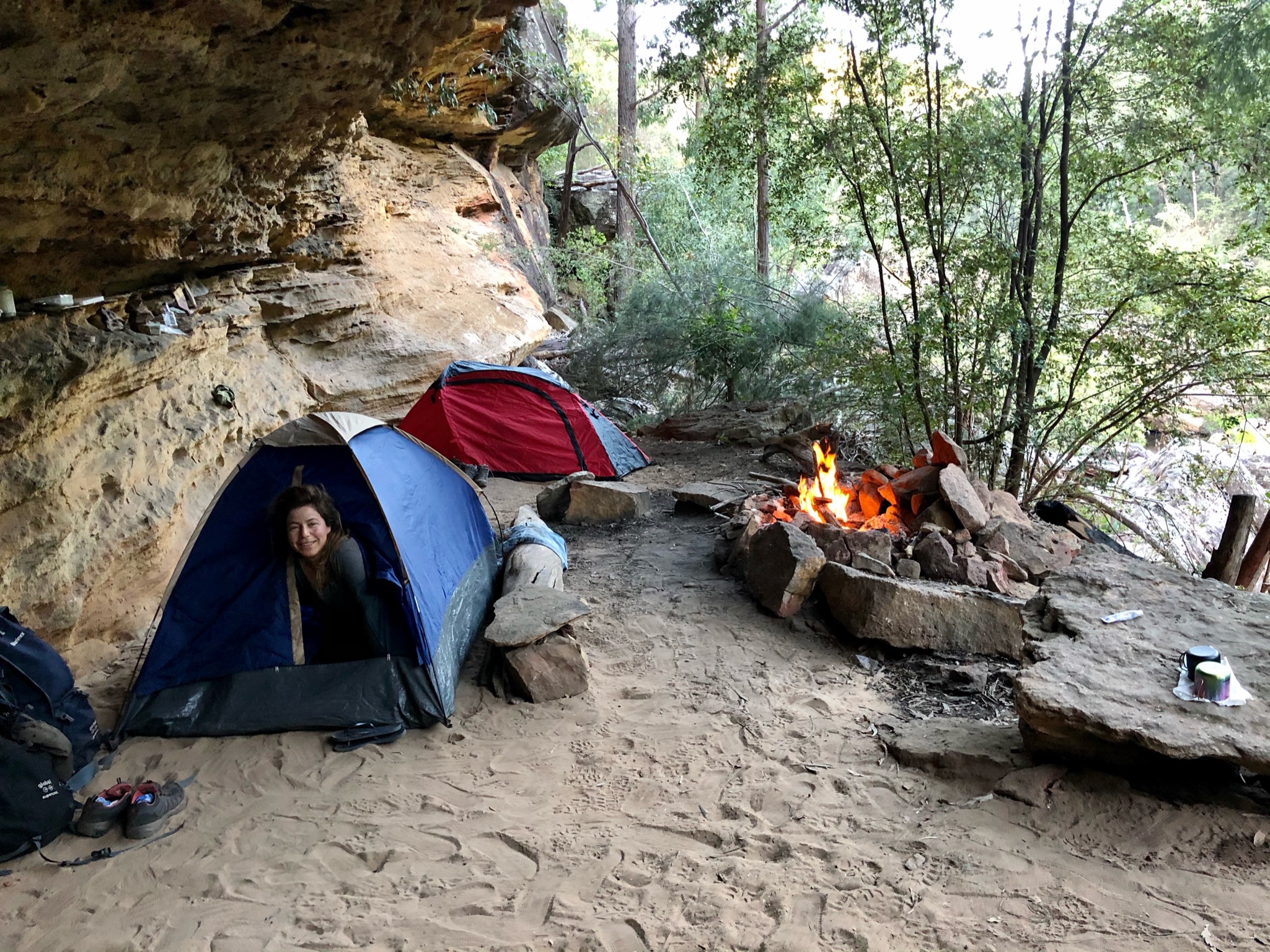
Coal Seam Cave 
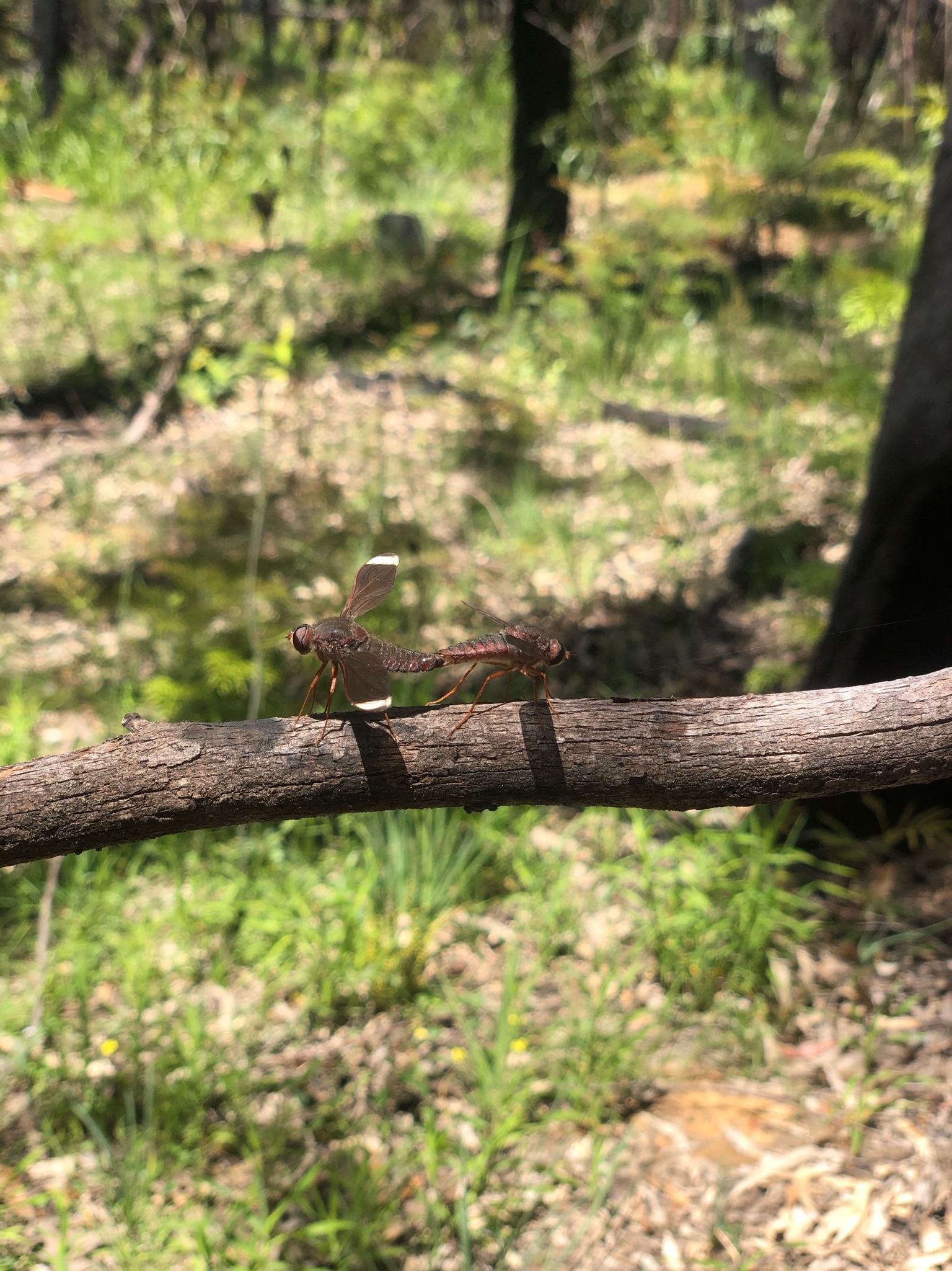
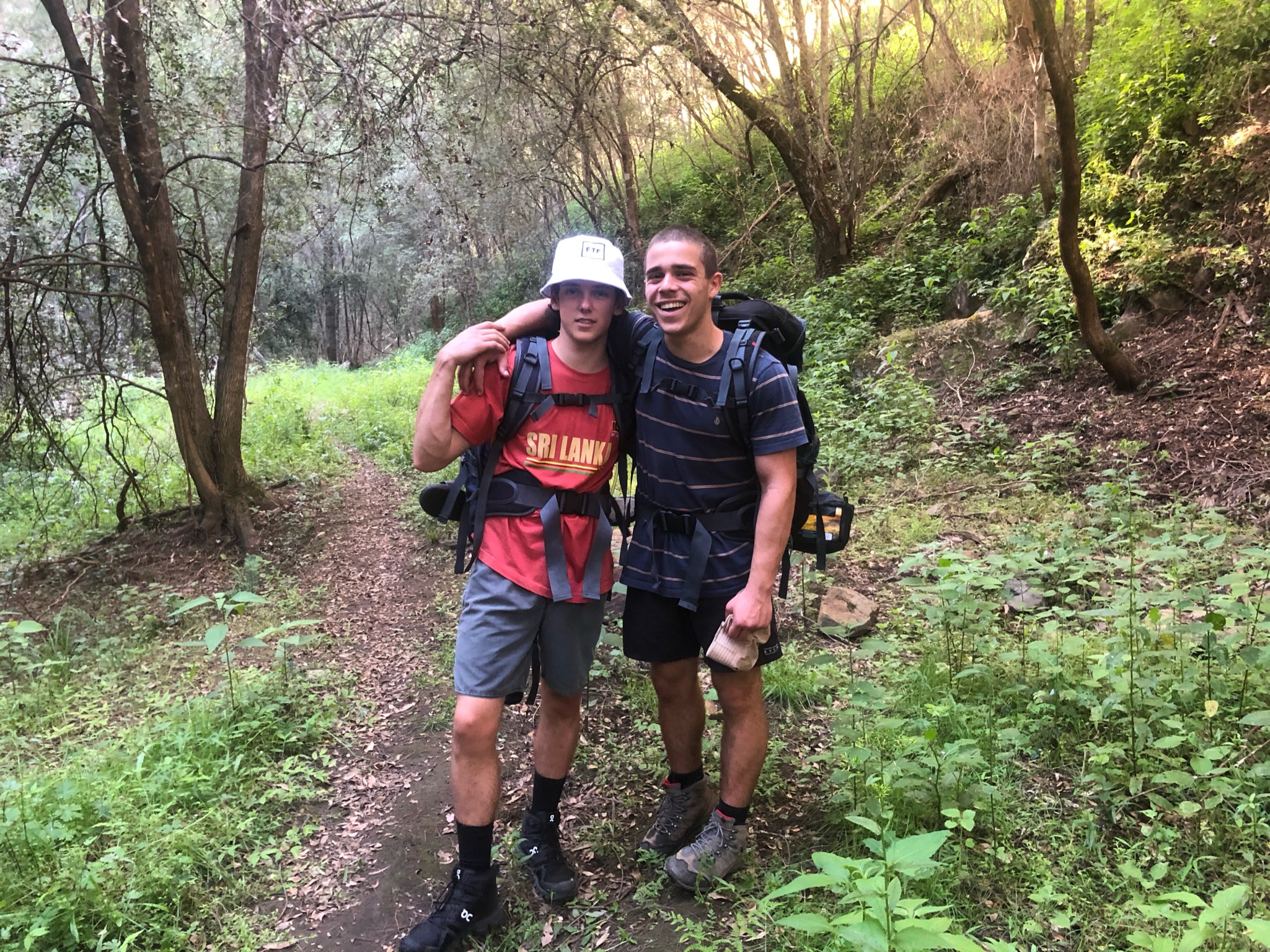
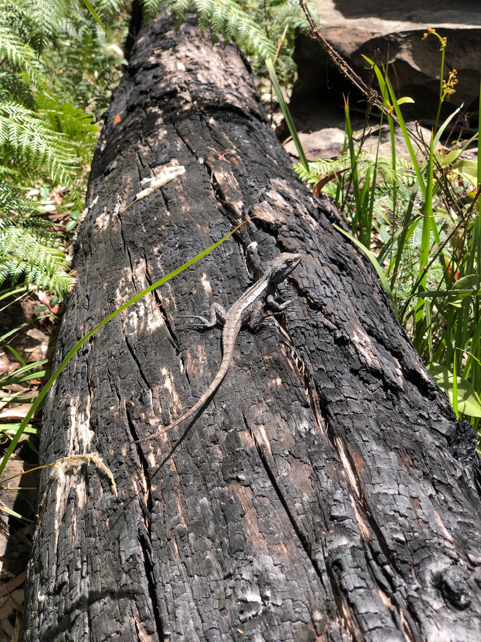
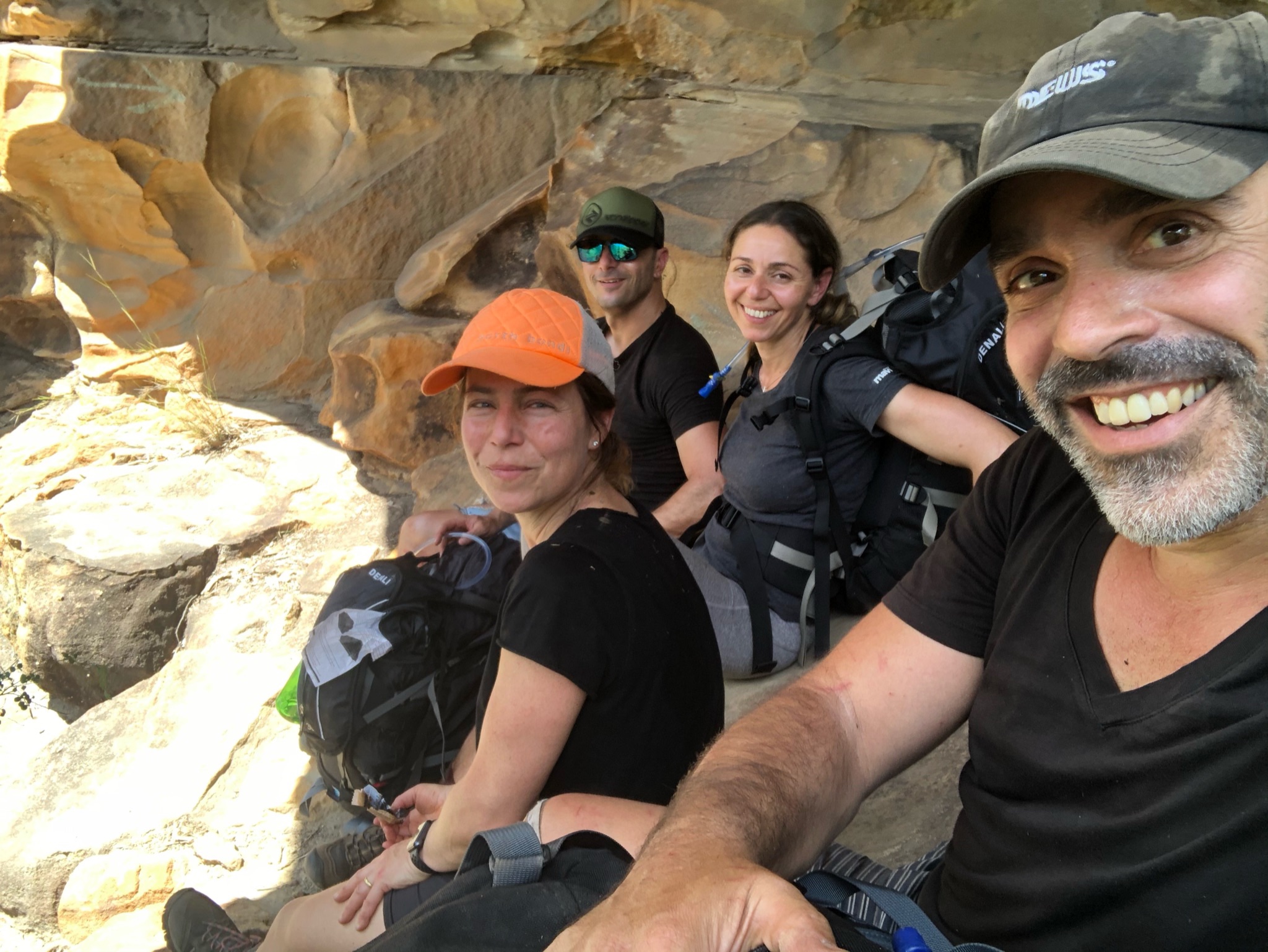
Zombie hunter 🙂 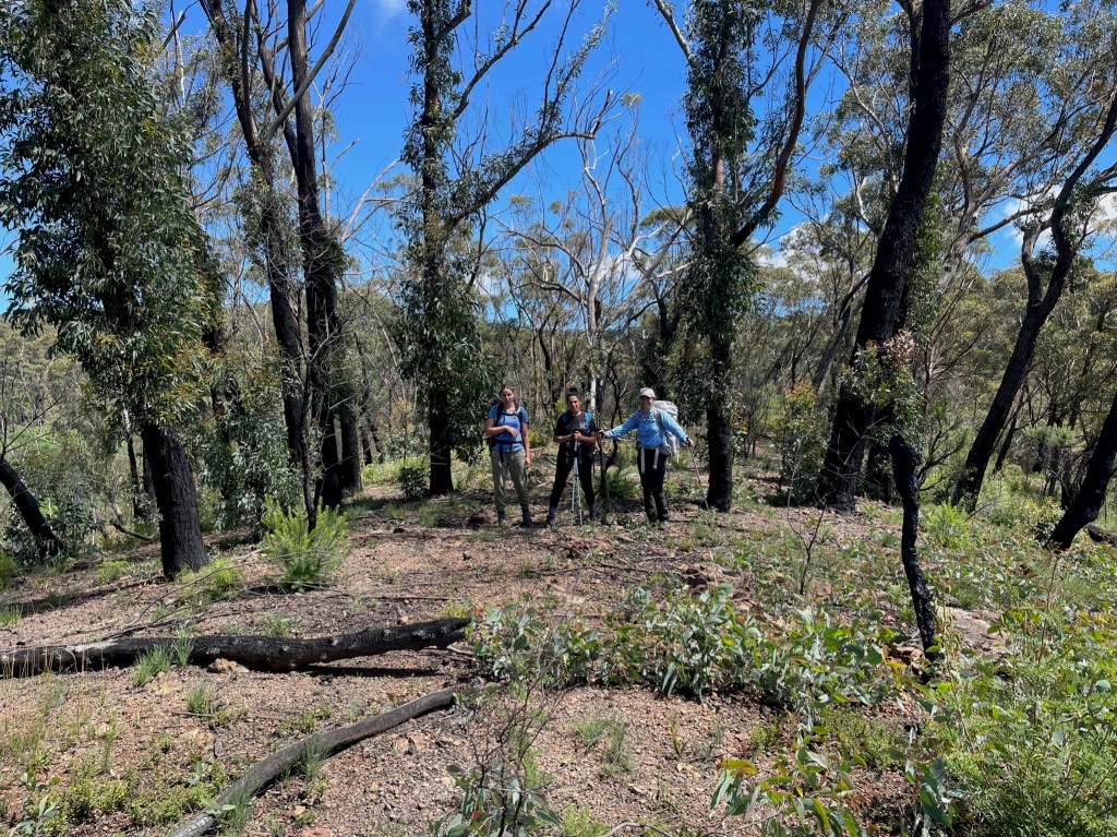
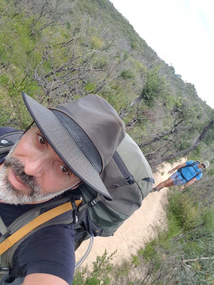
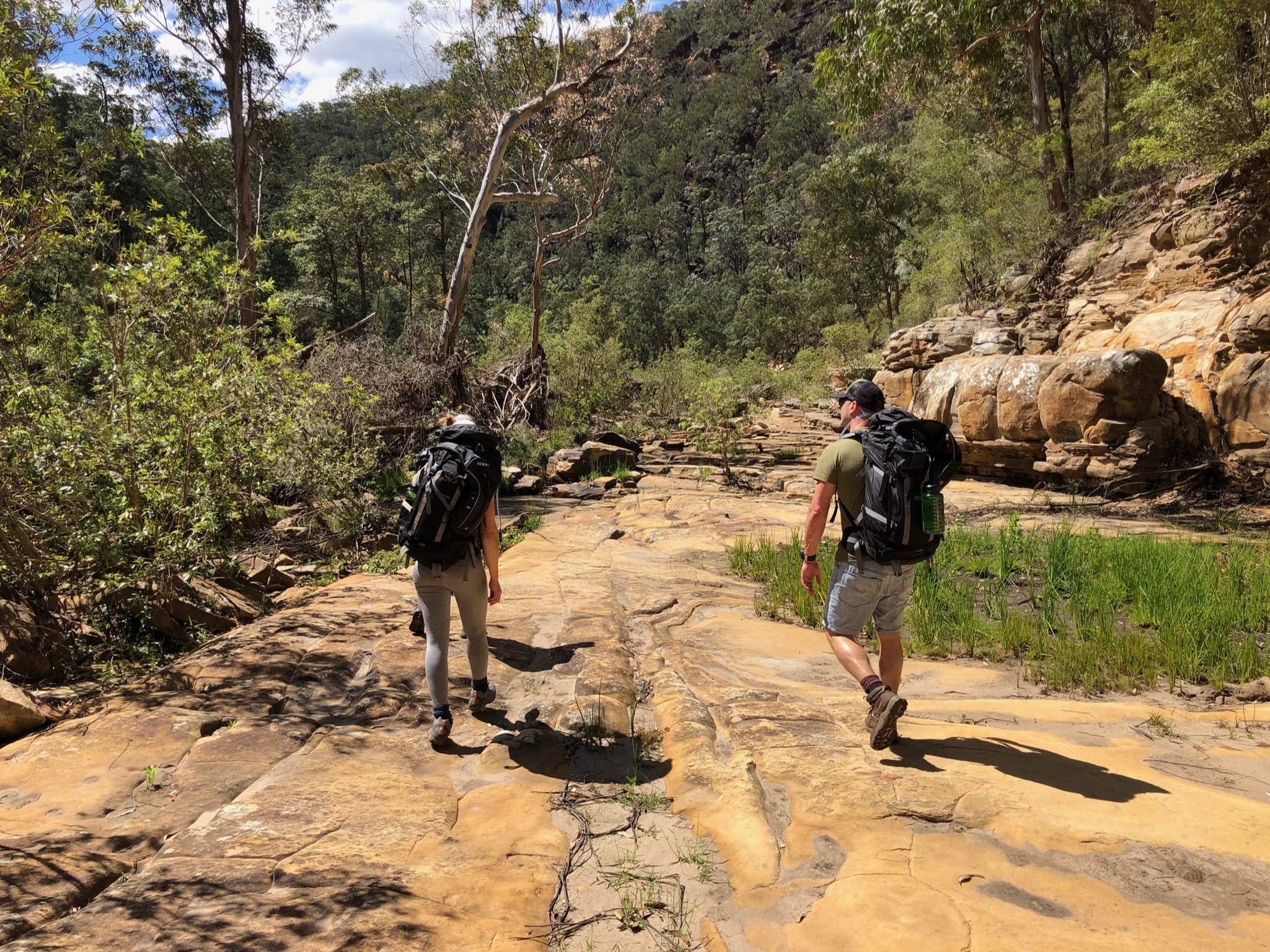
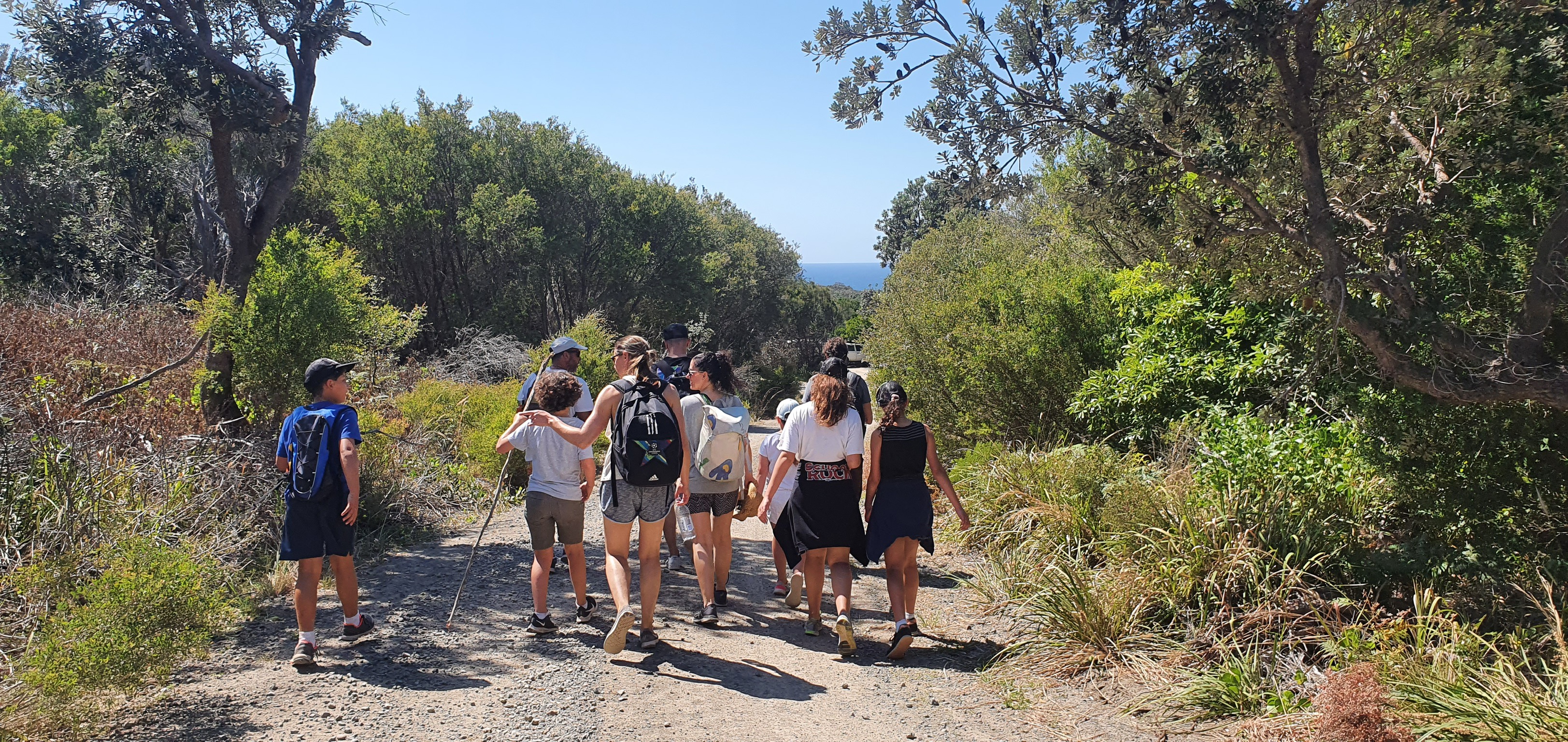
Walking on Gingra 
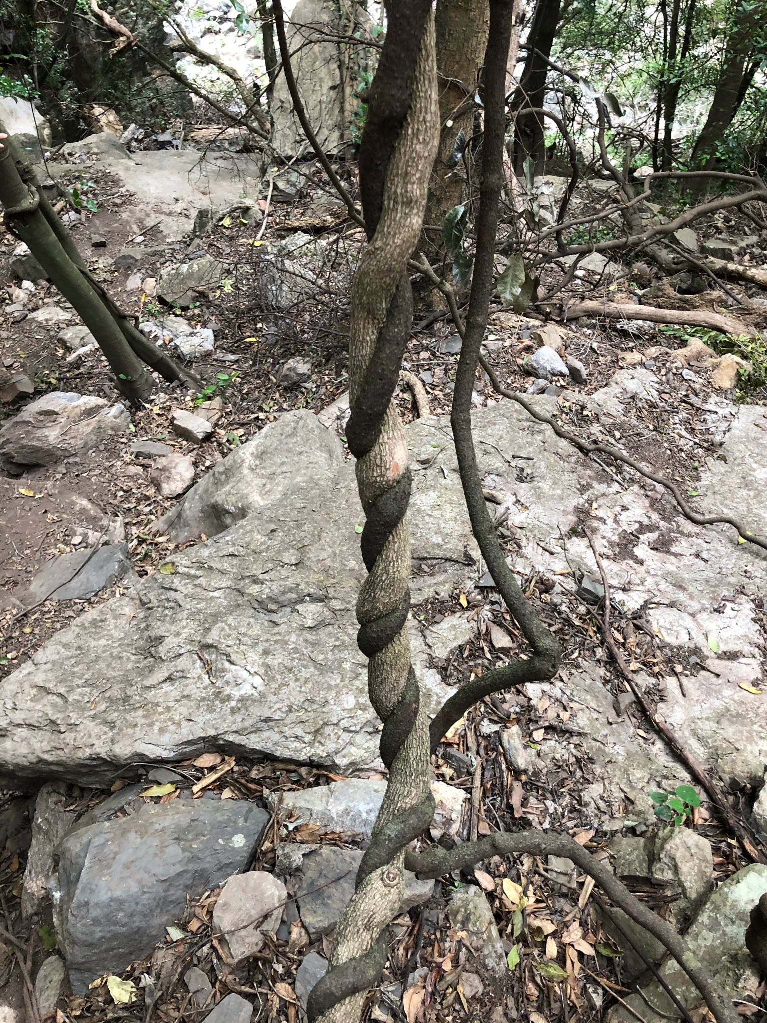
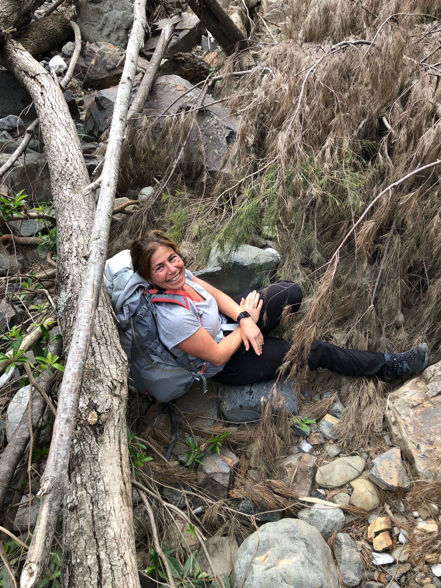
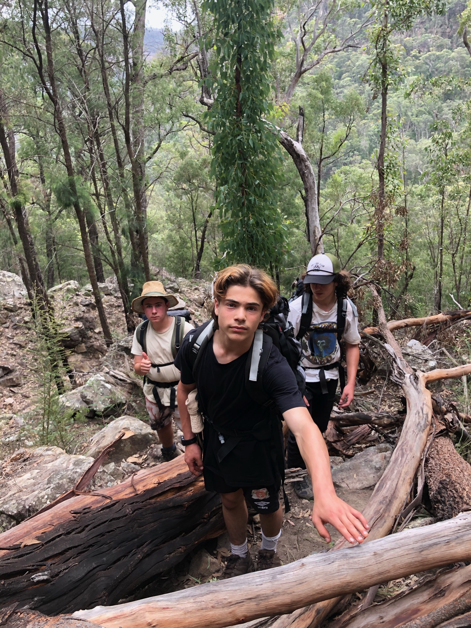
Thick and tall weeds on Roots Ridge 
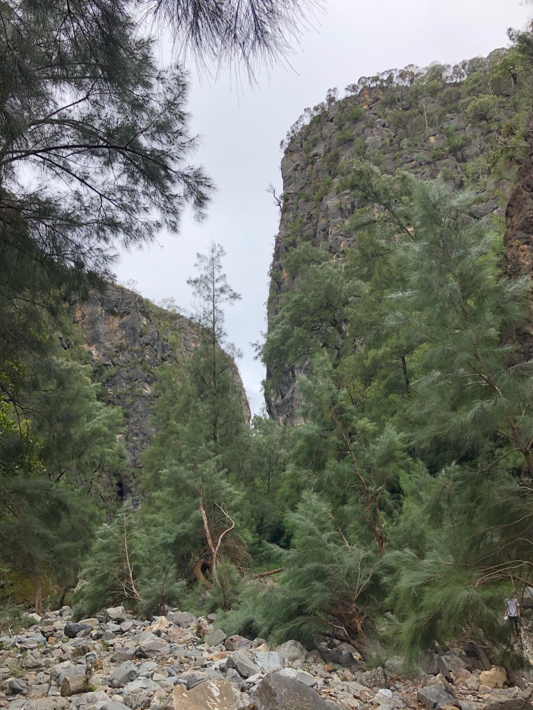
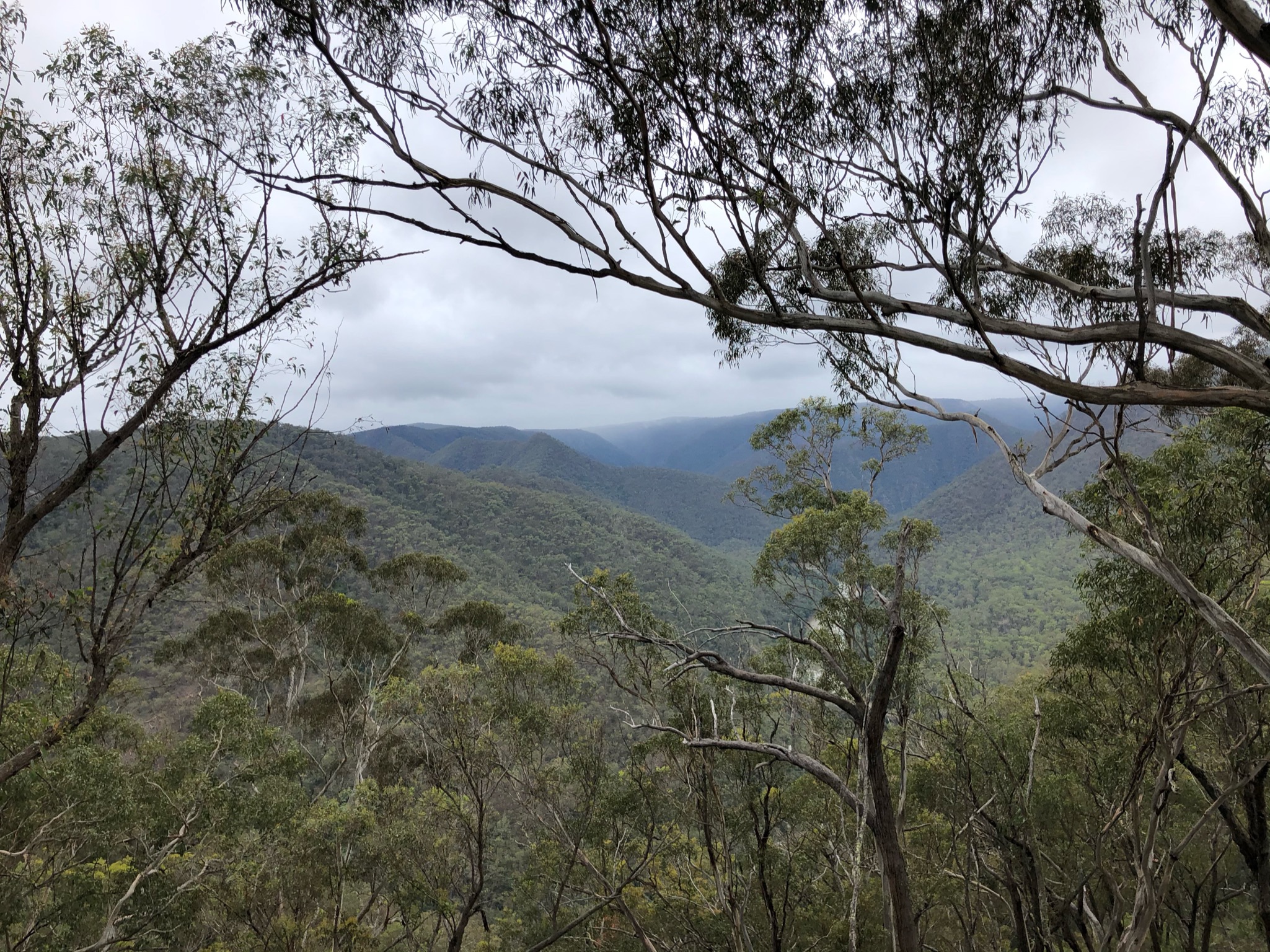
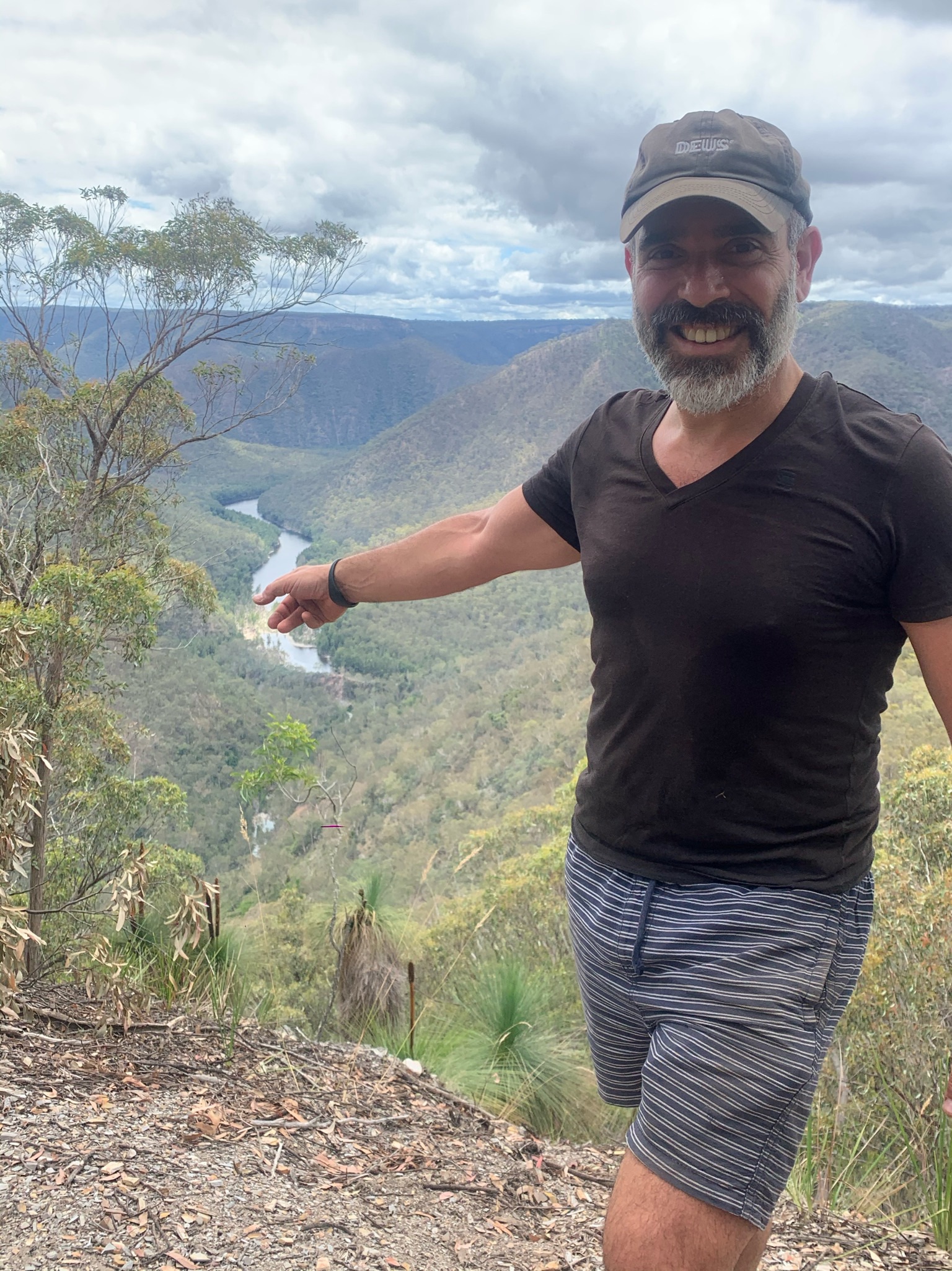
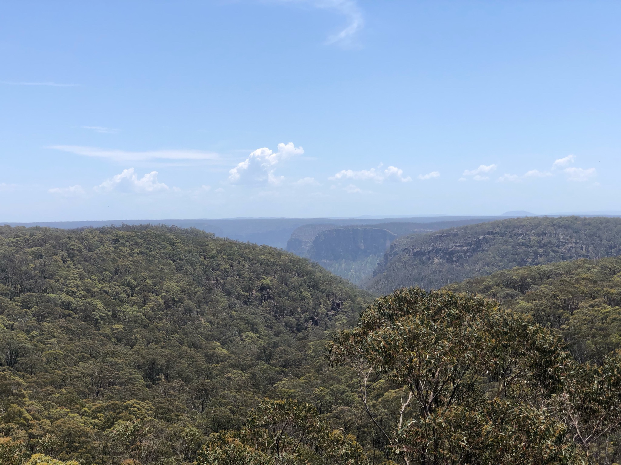
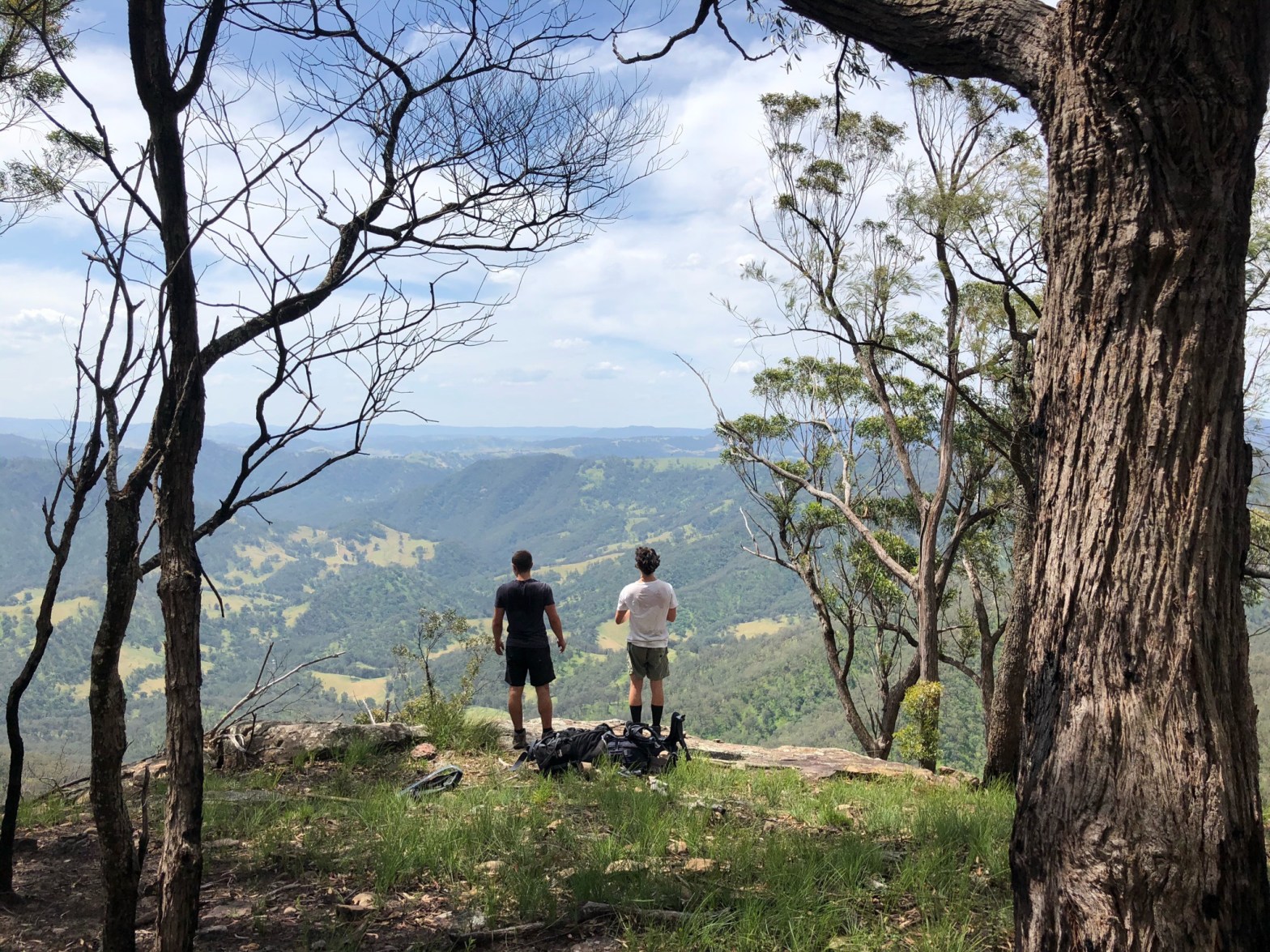
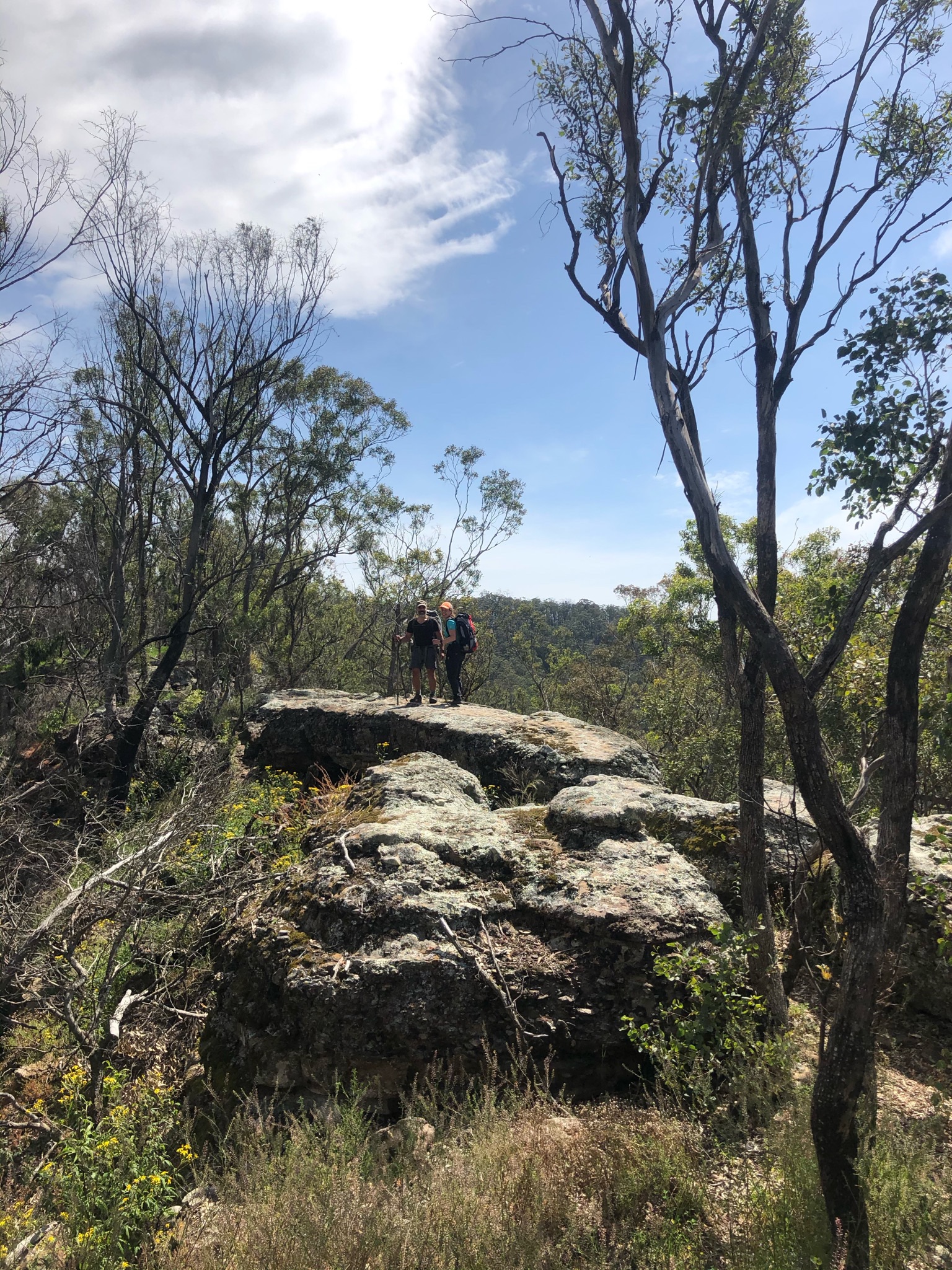
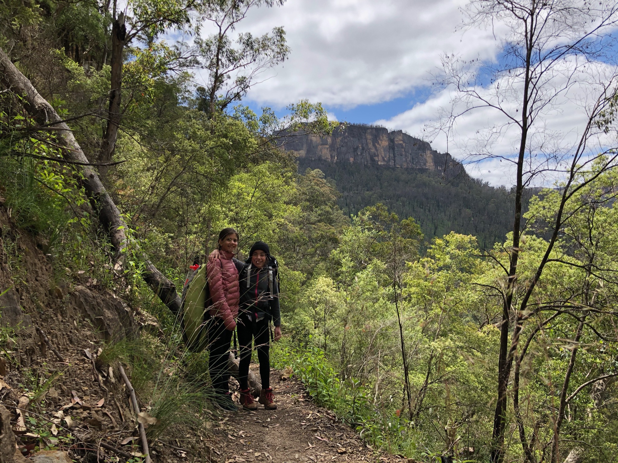
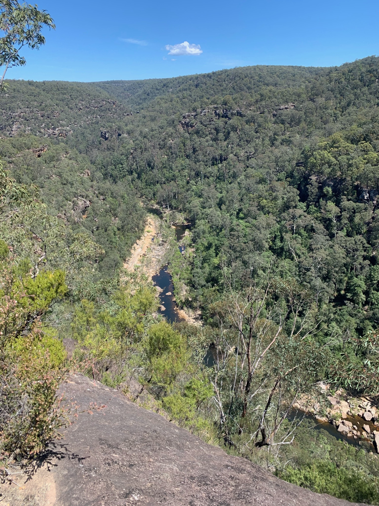
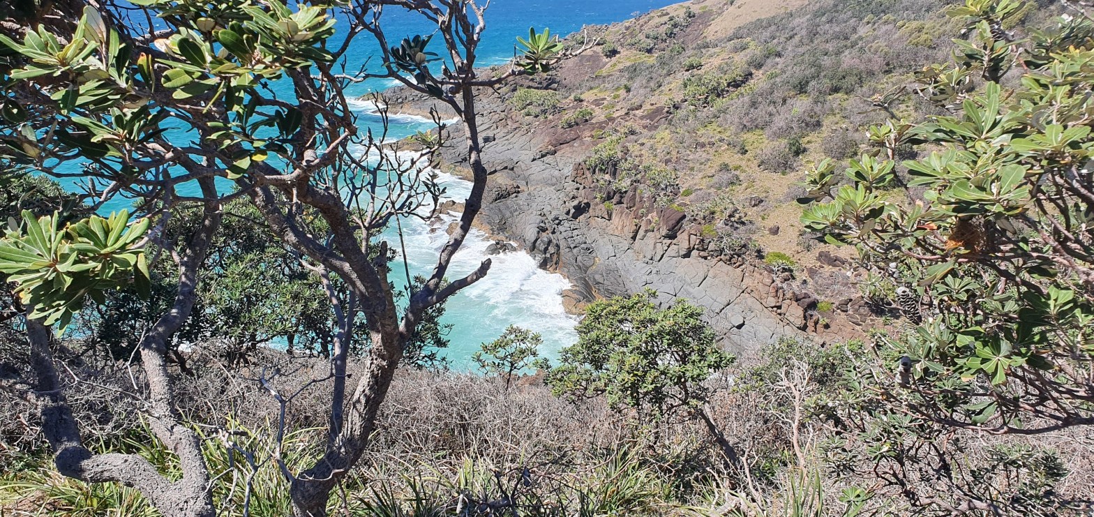
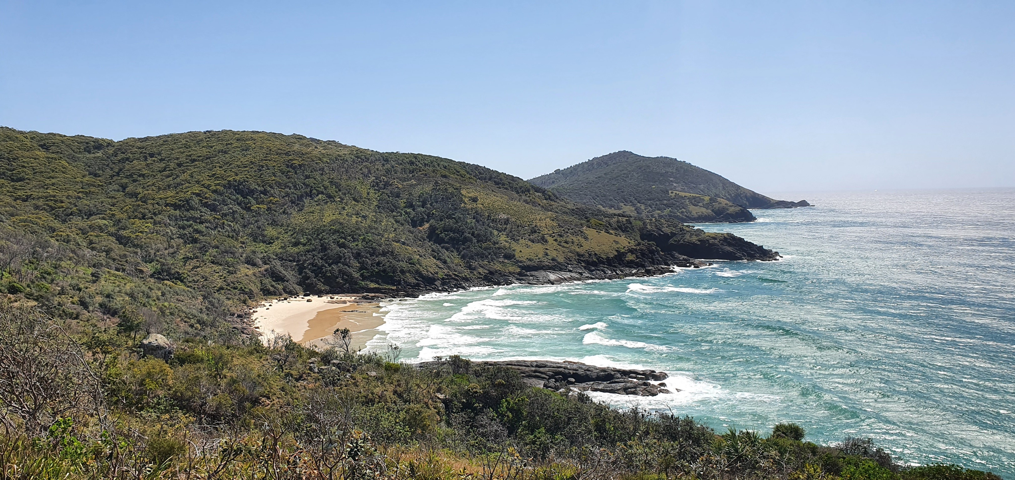
View from Roots Ridge 
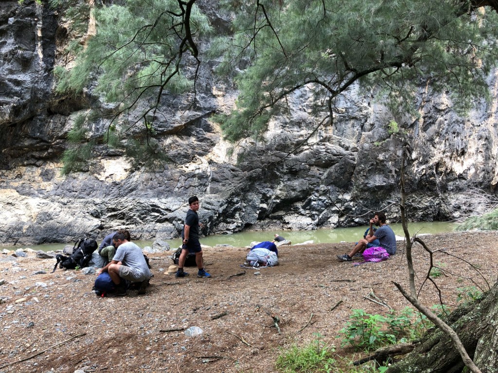
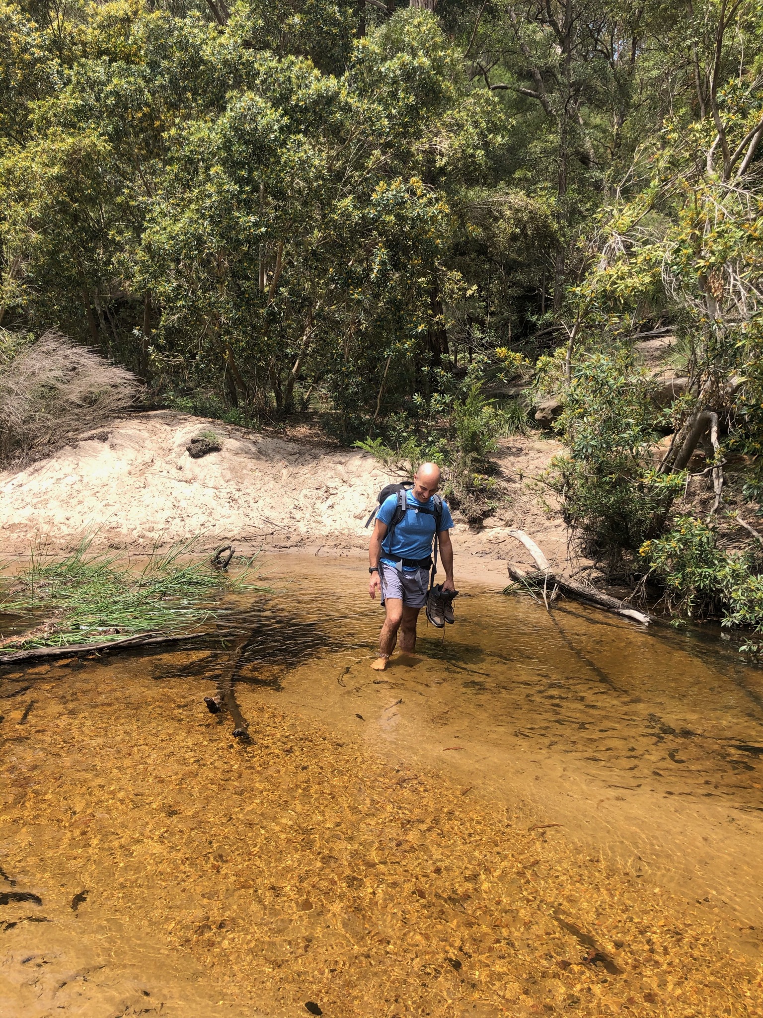
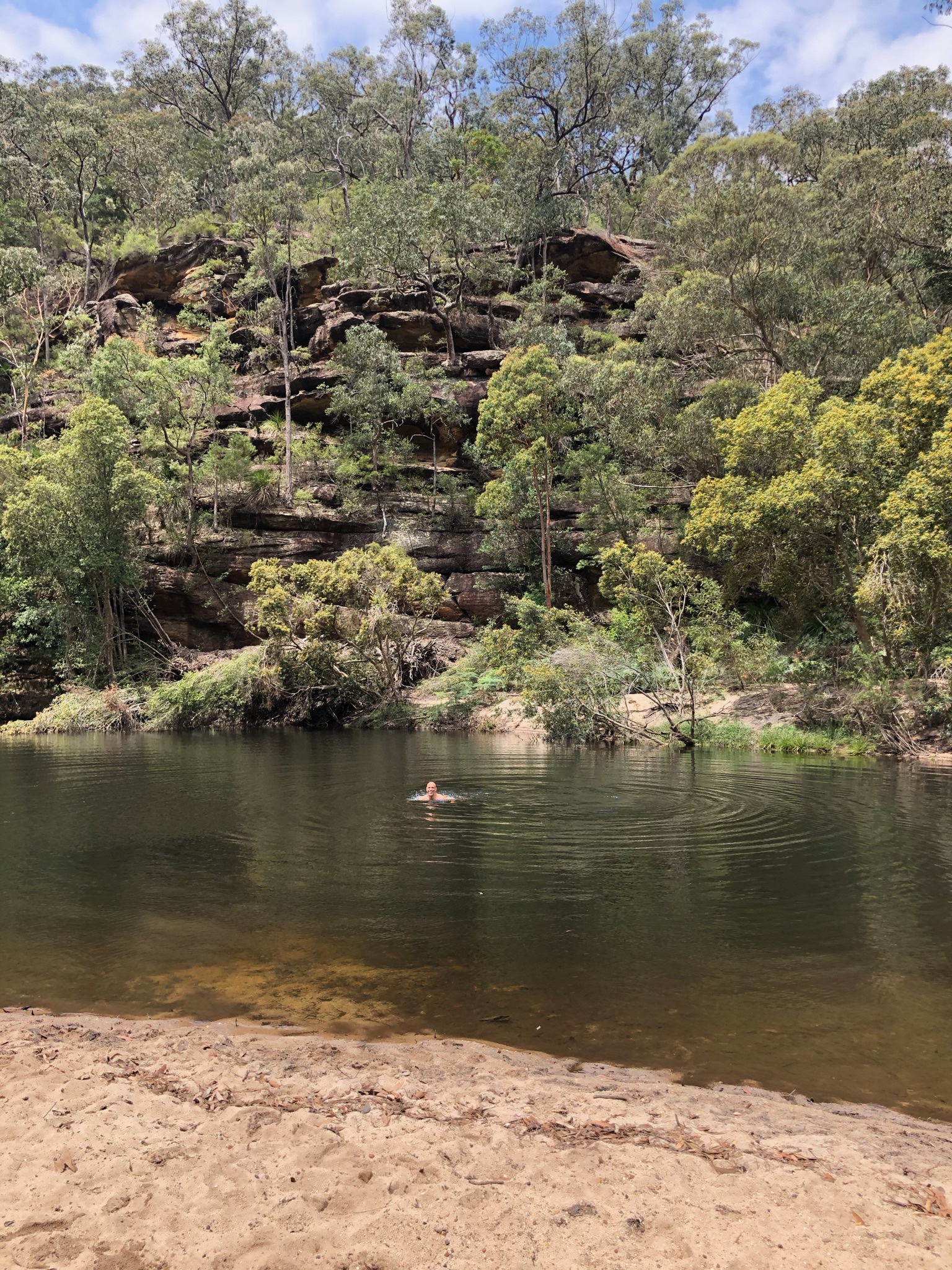
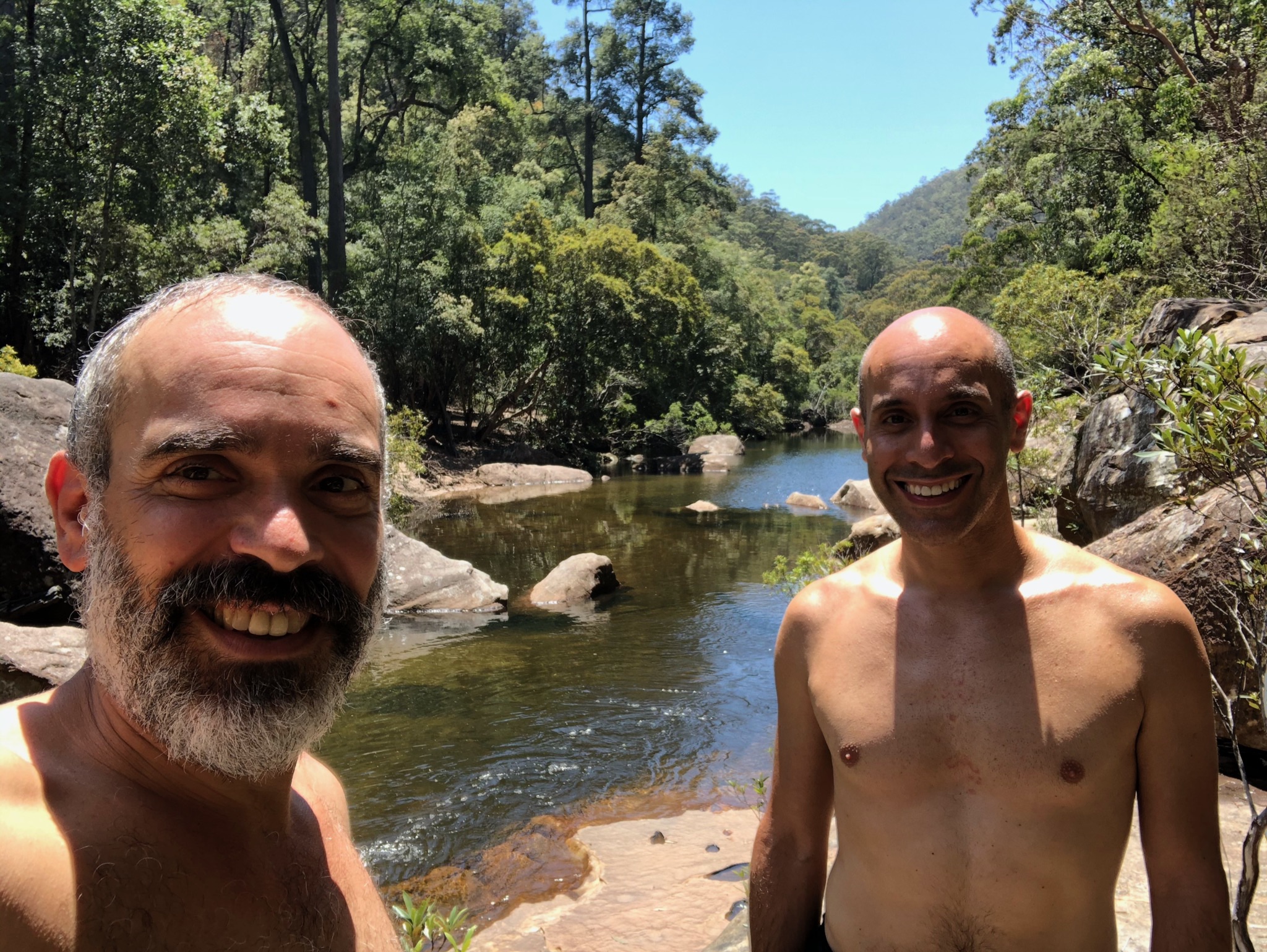
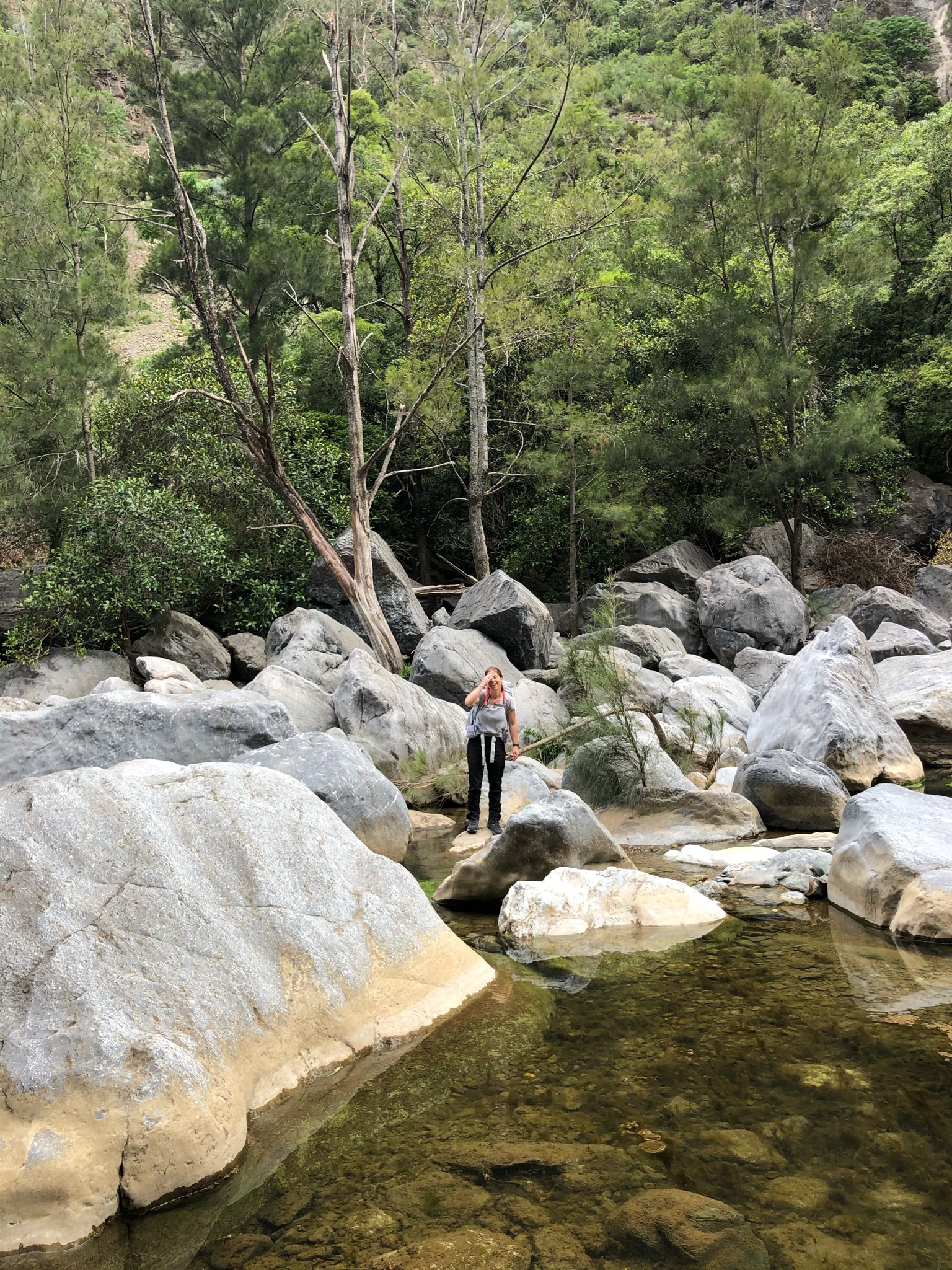
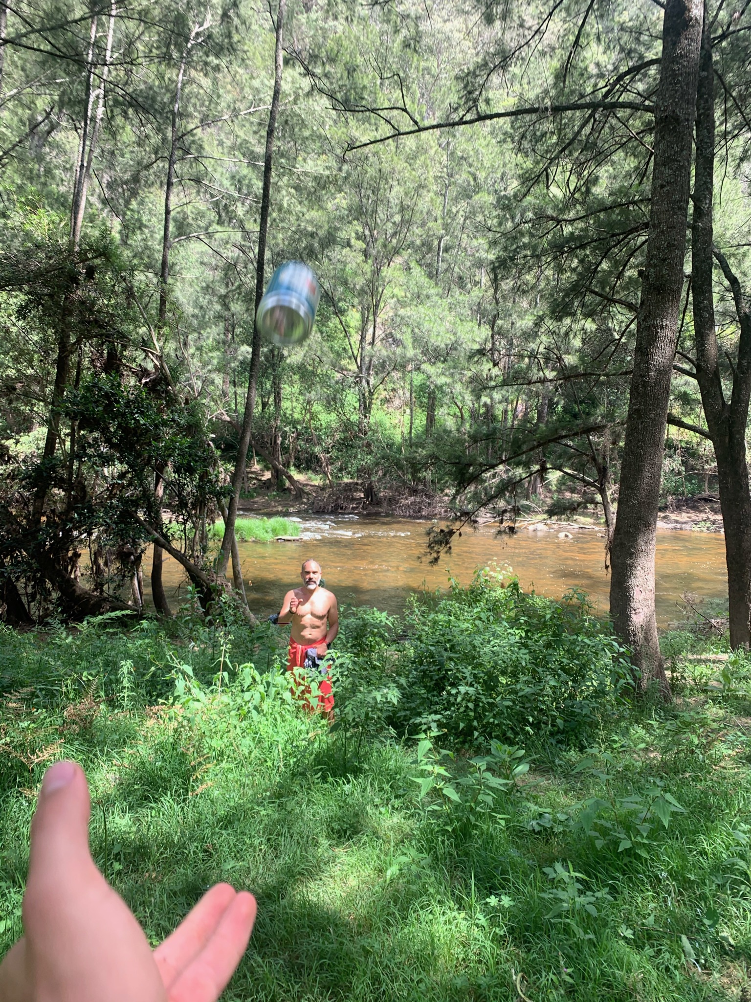
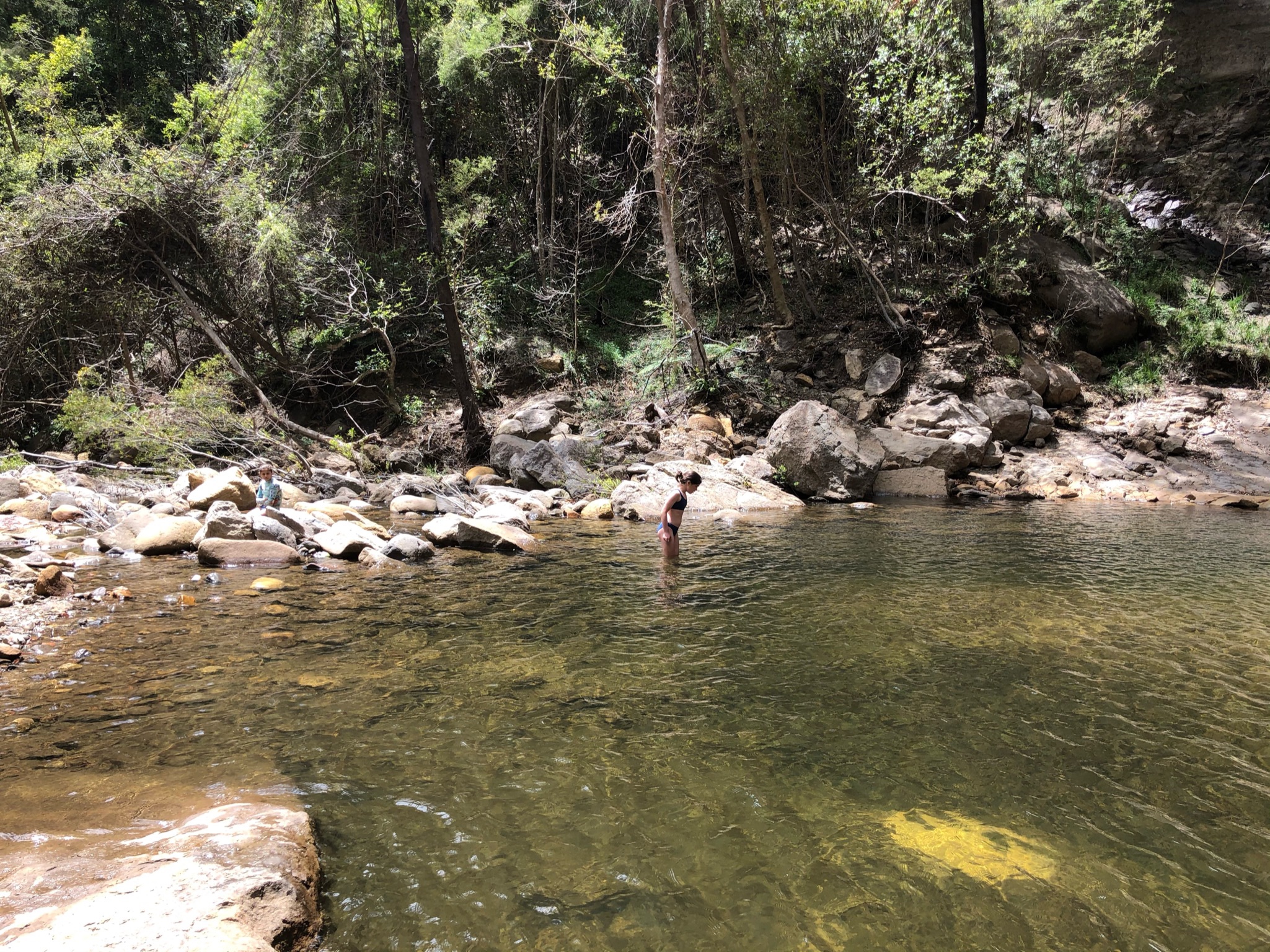
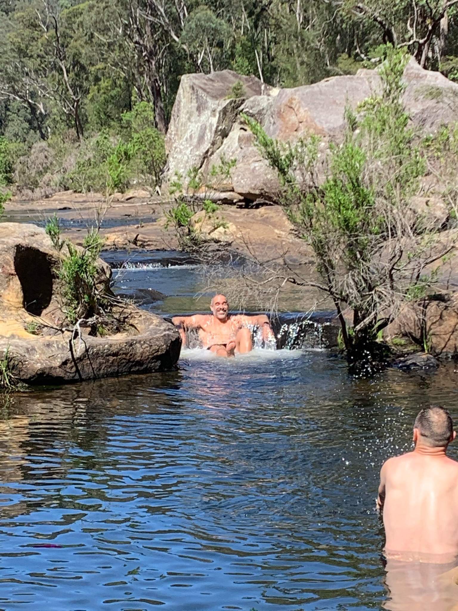
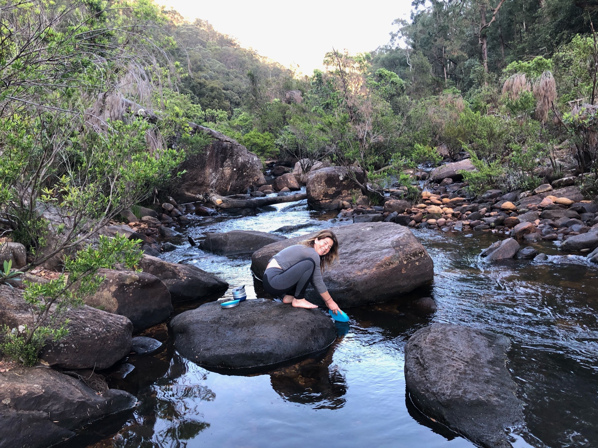
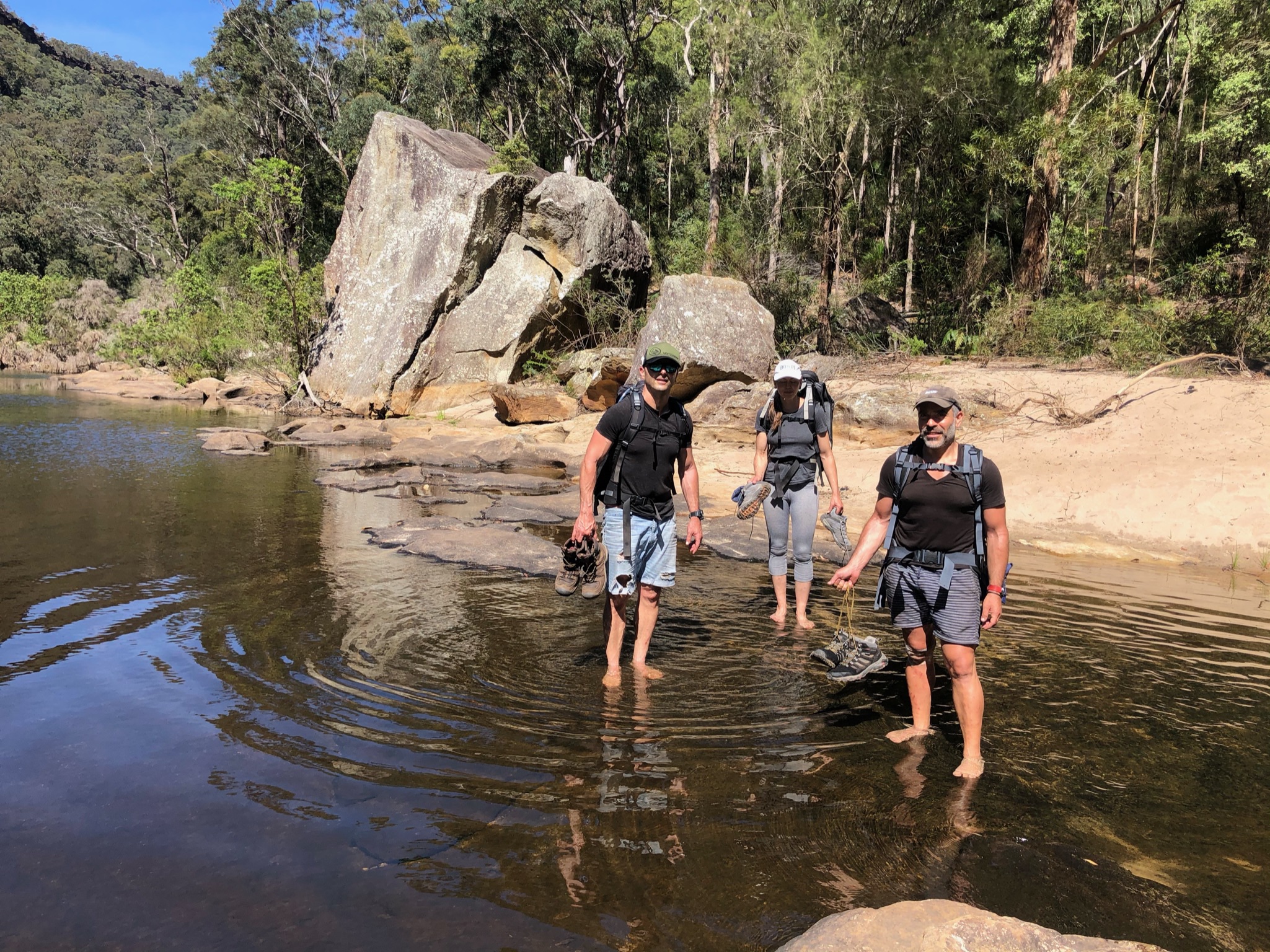
Goofing around in the Kowmung 
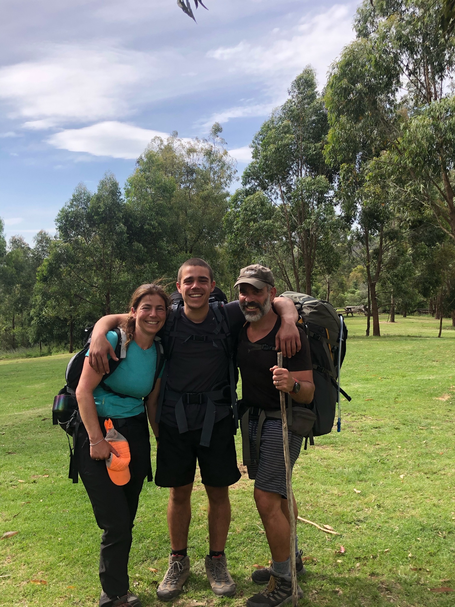
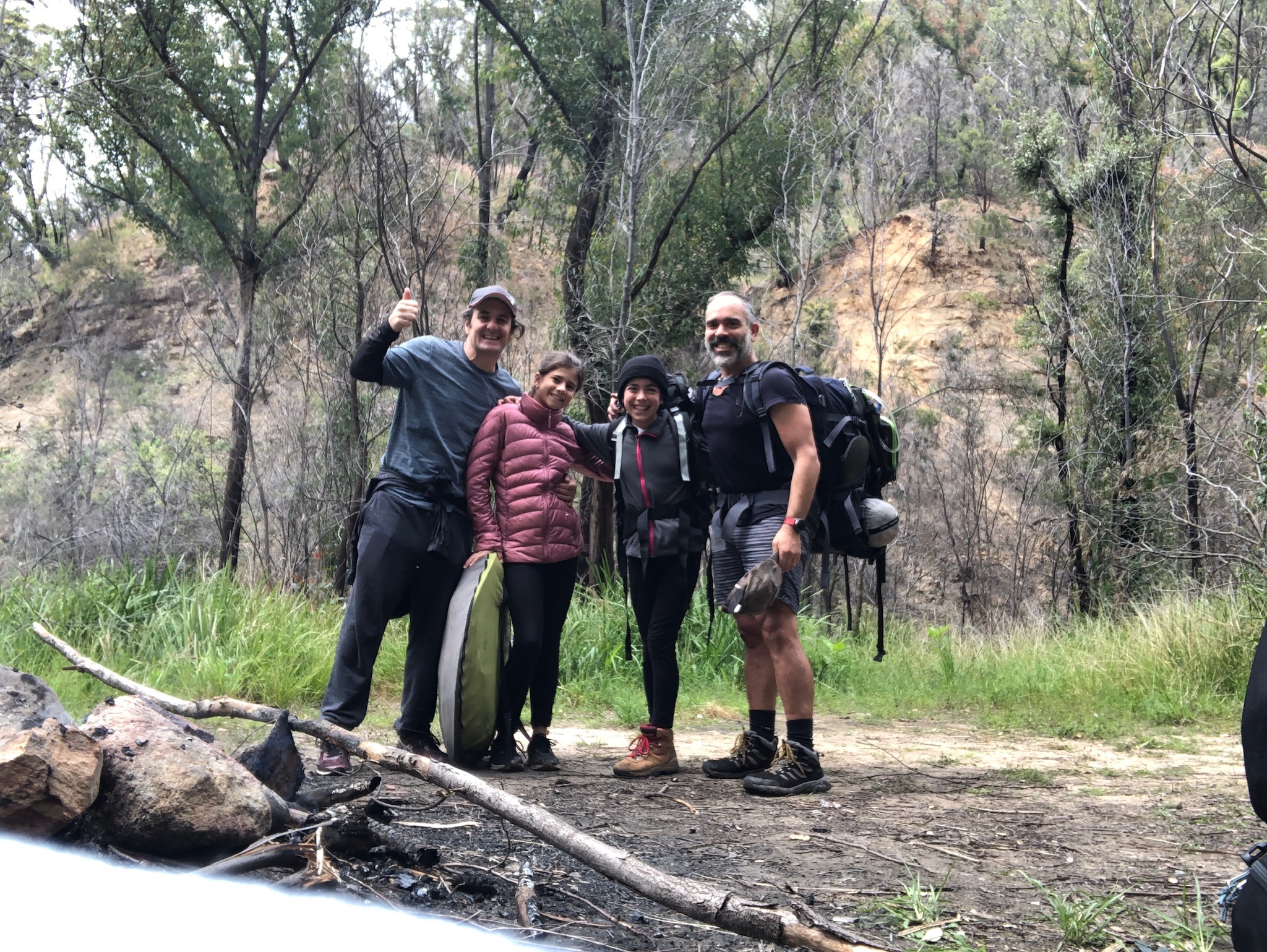
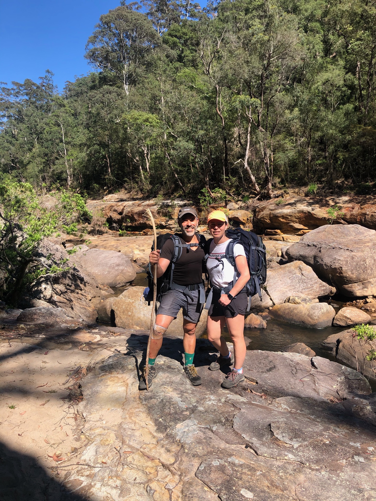
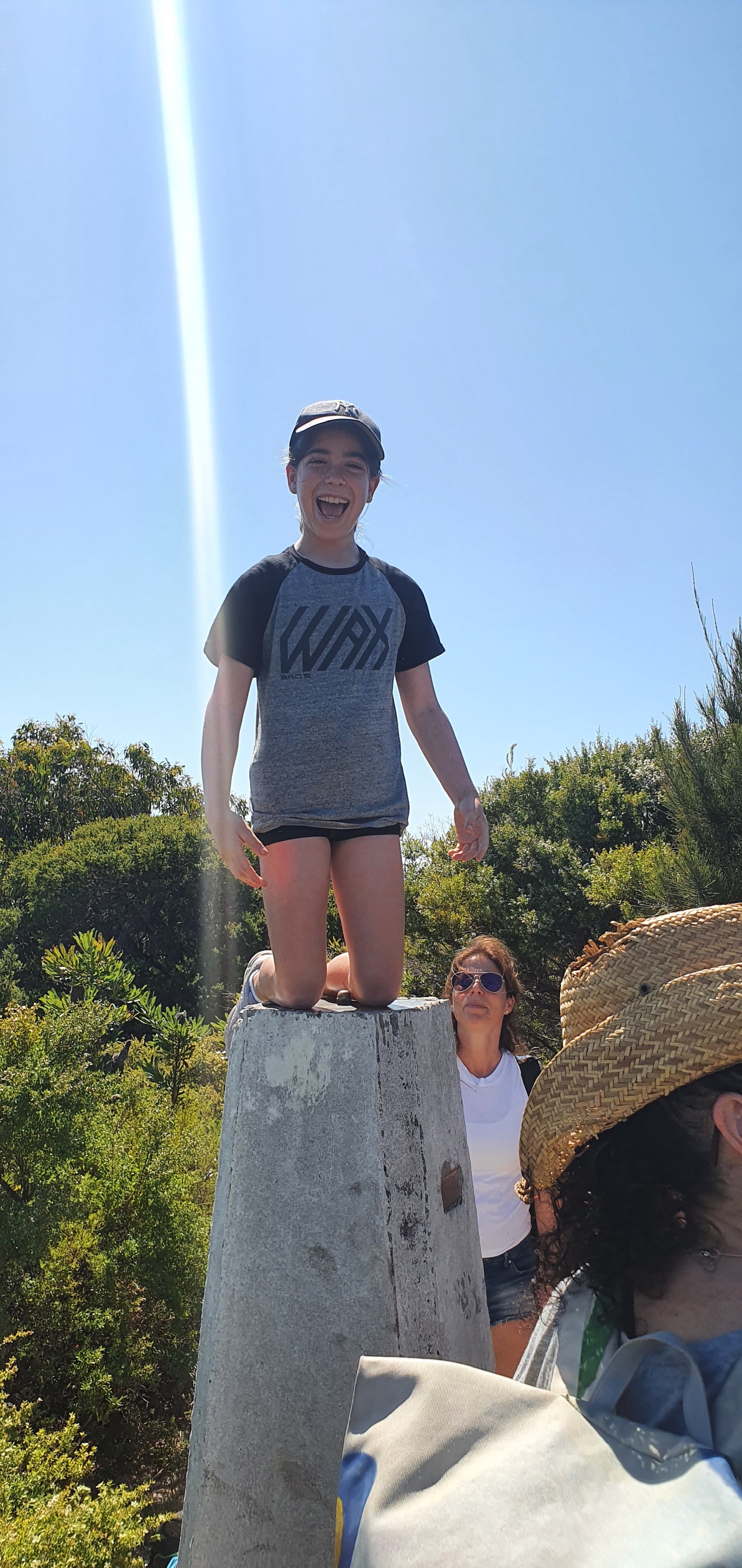
Pose 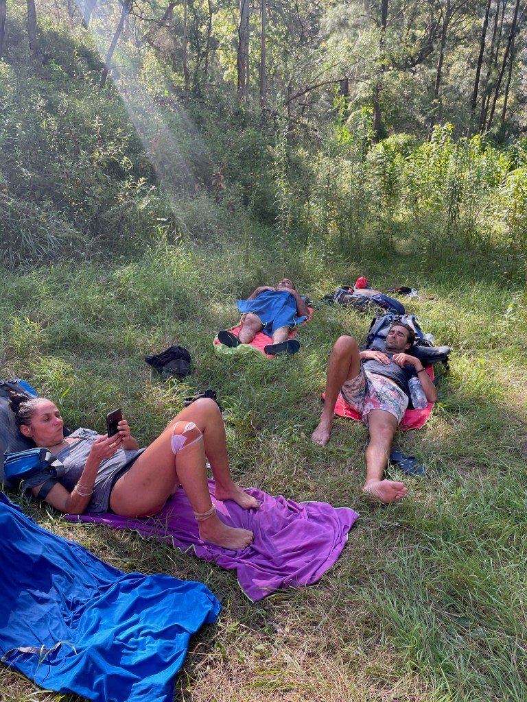
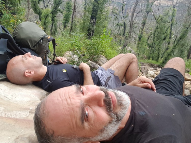
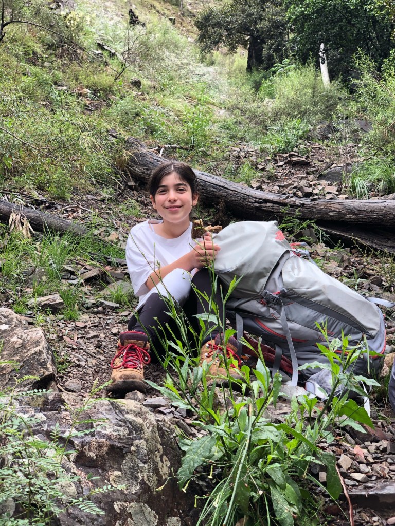
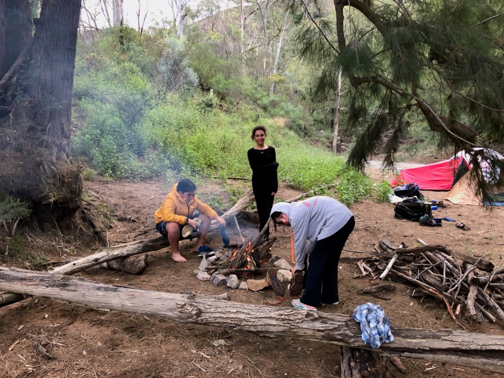
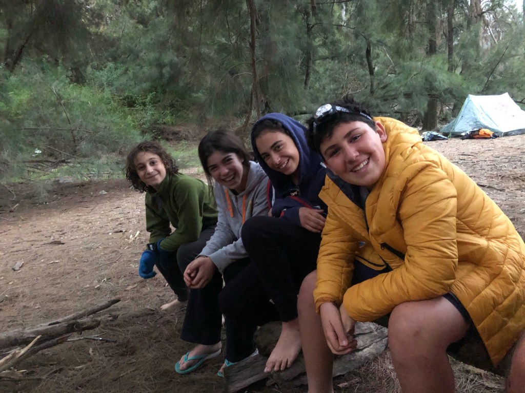
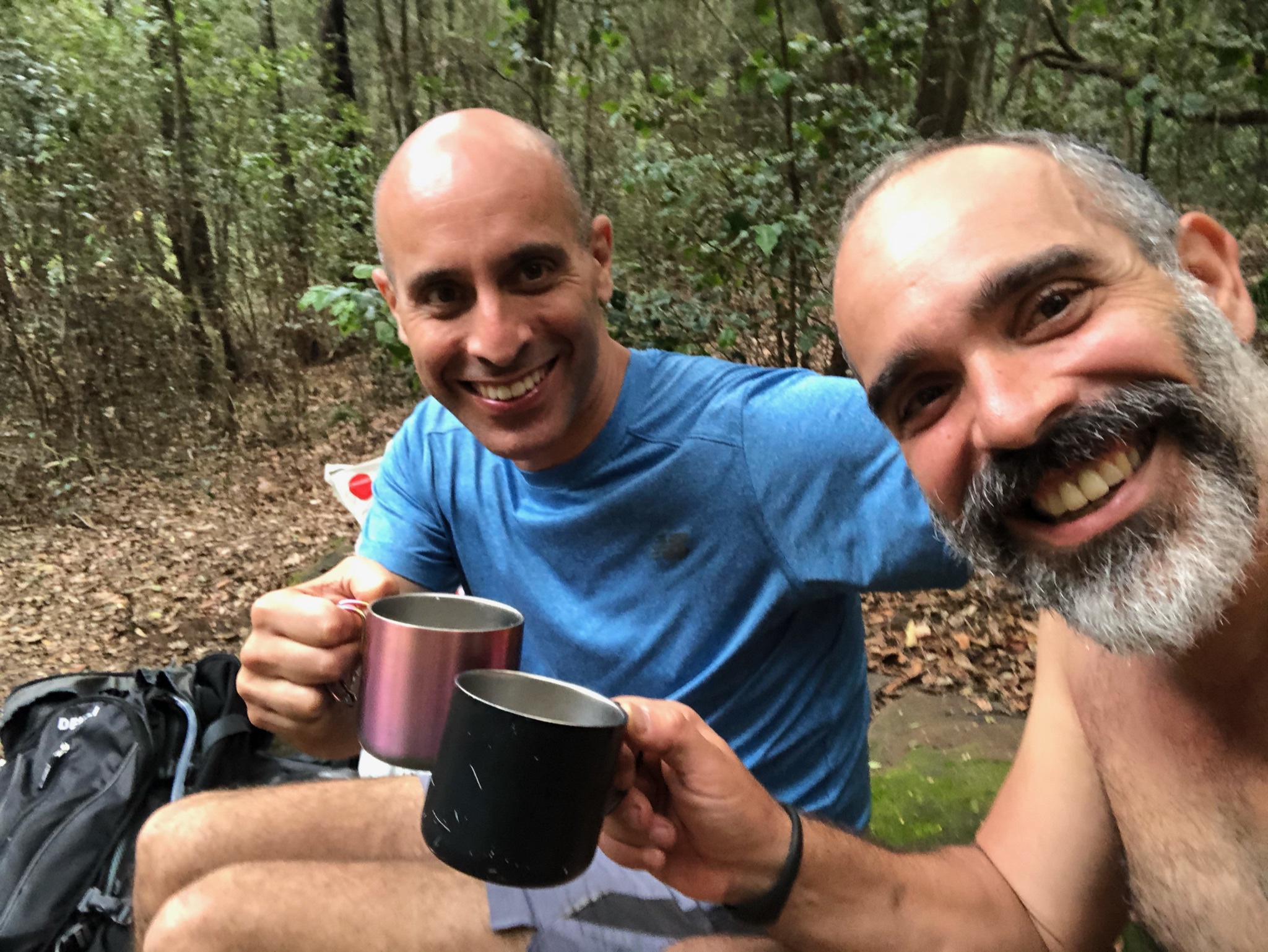
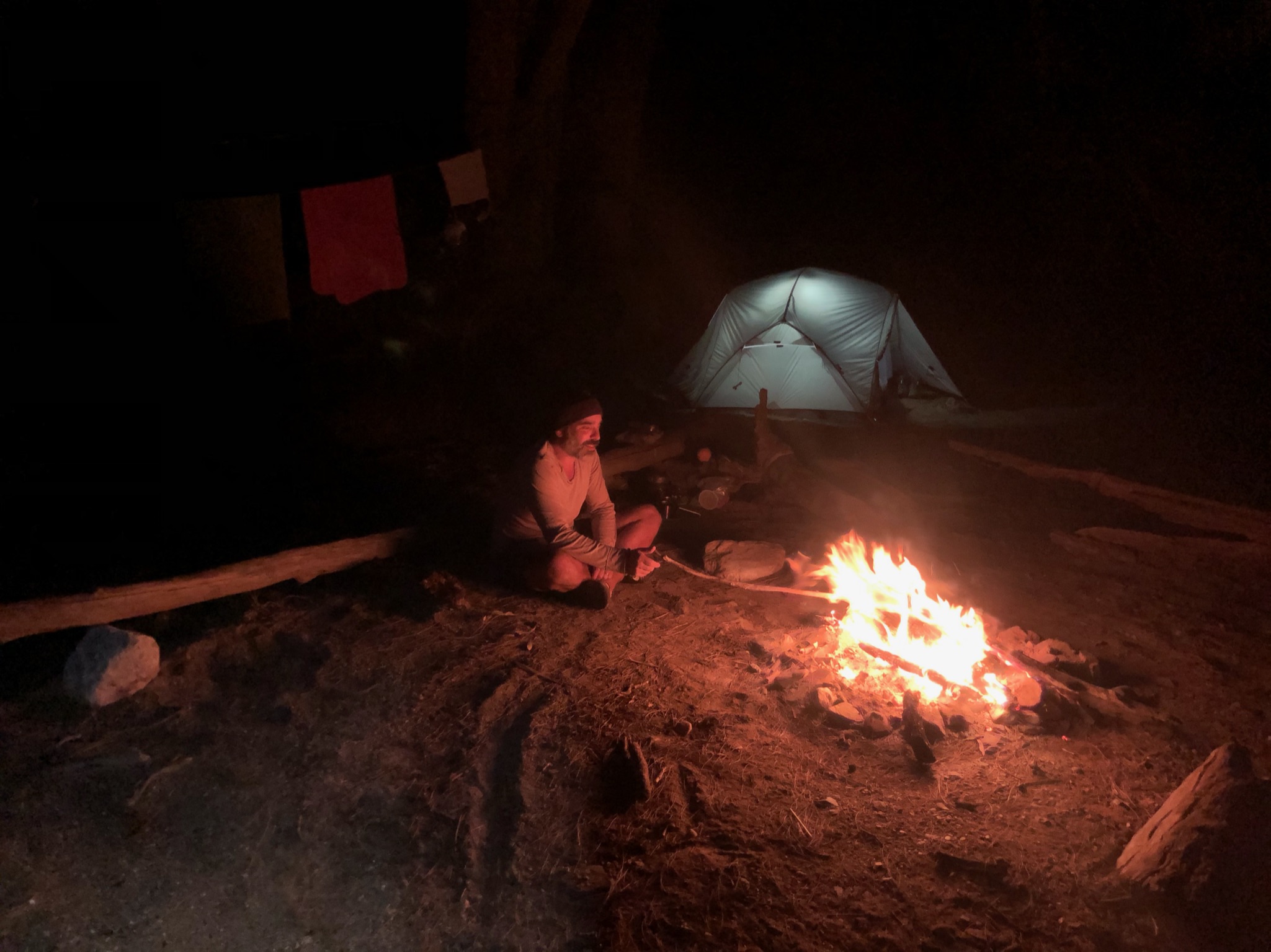
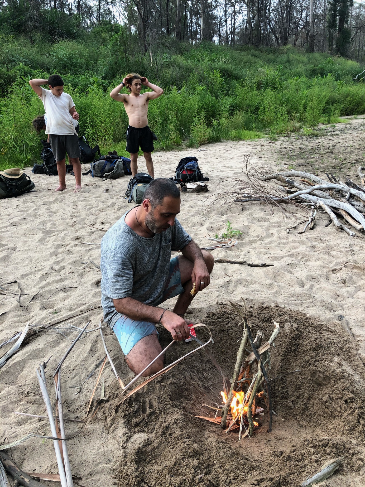
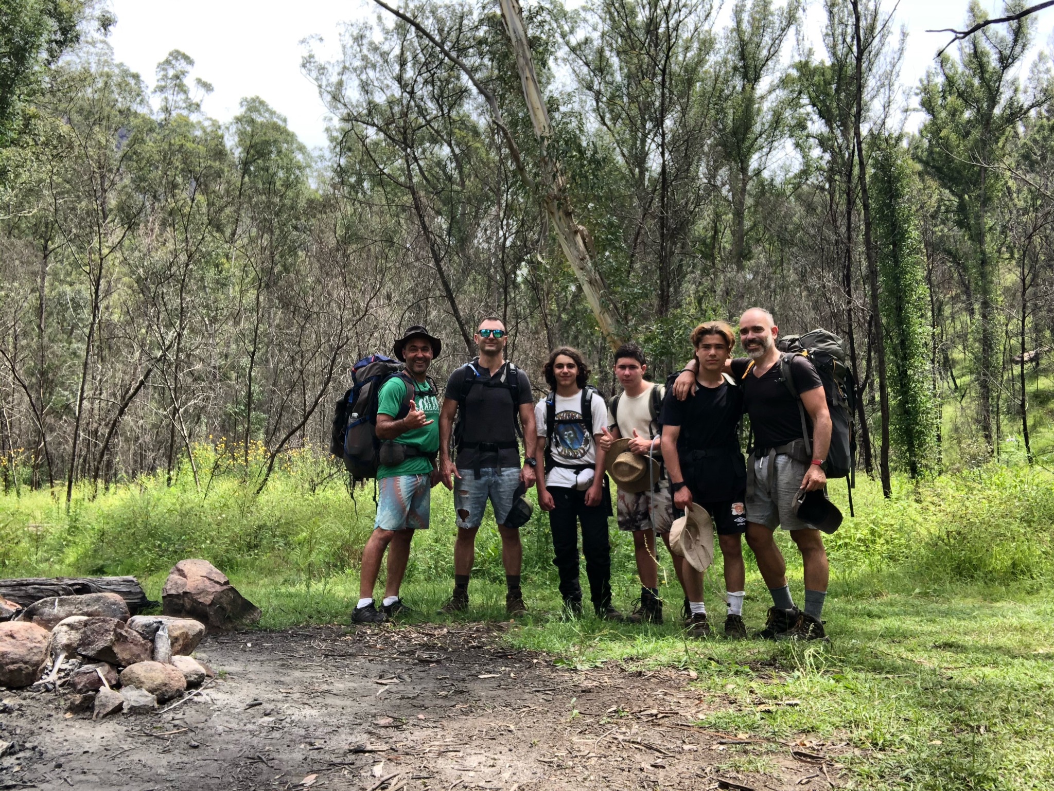
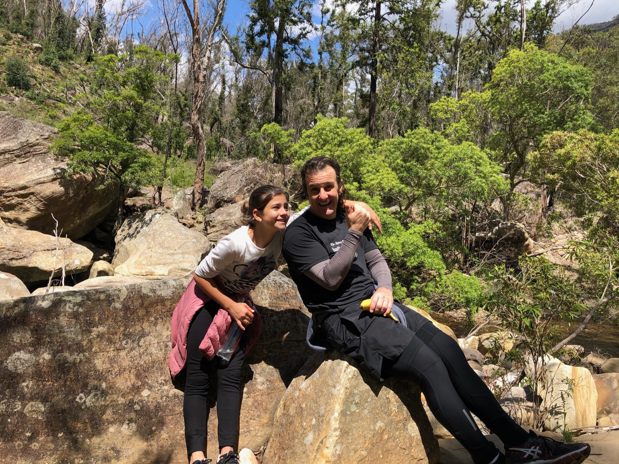
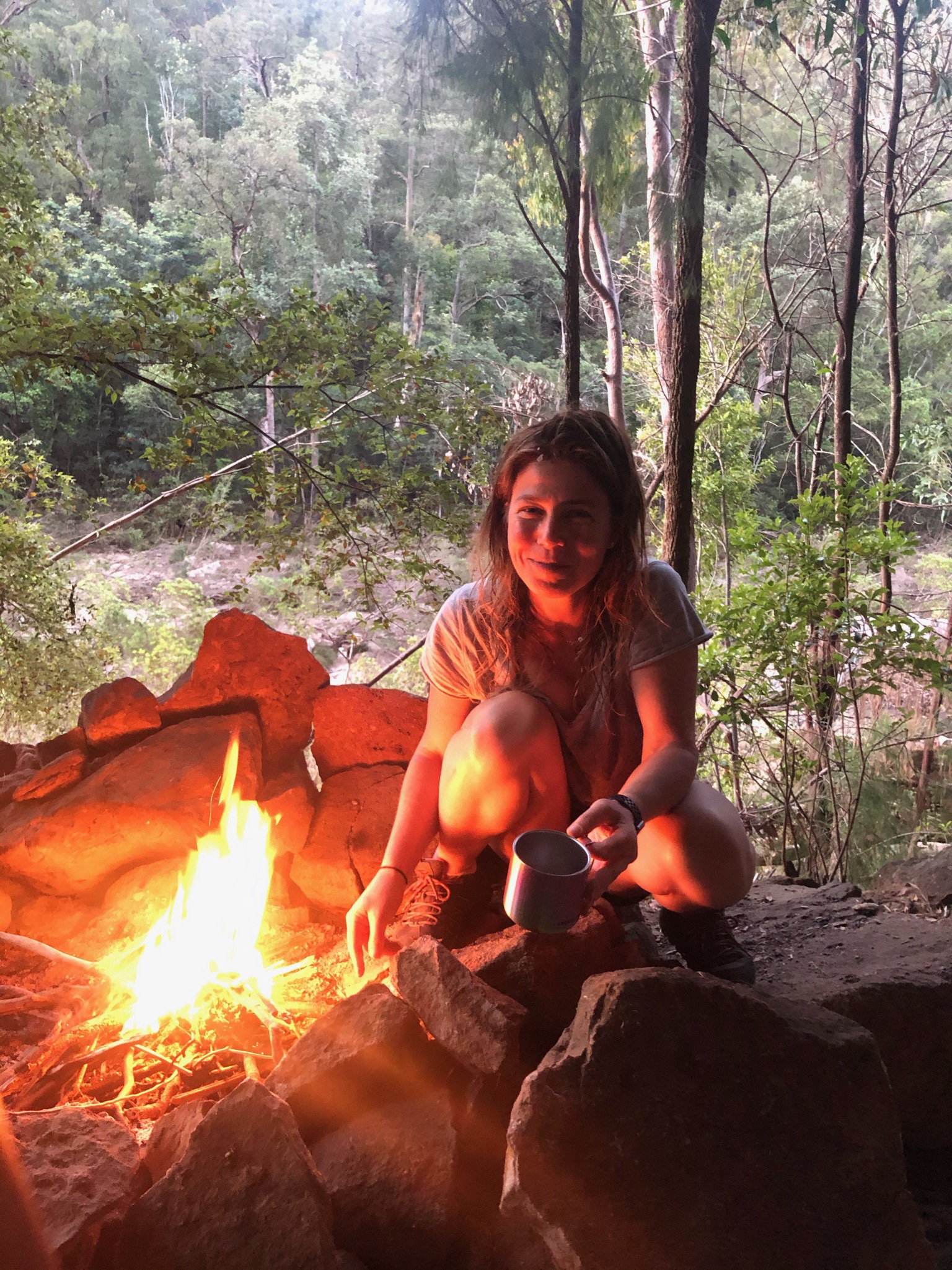
Unwinding after 8hr track 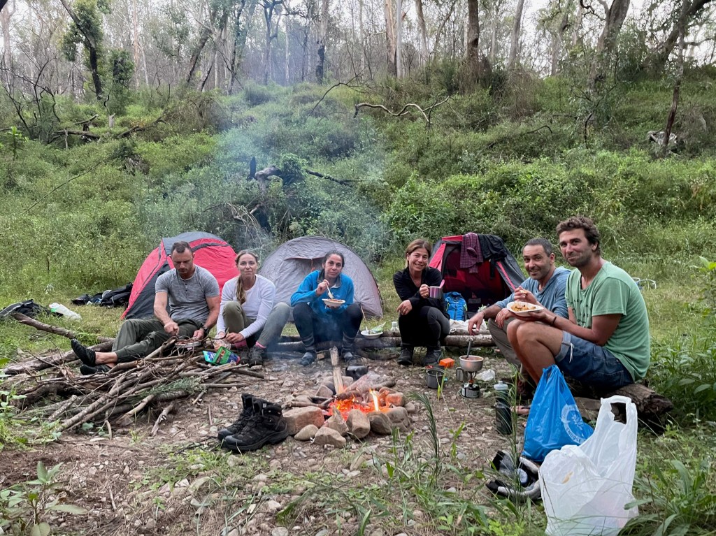
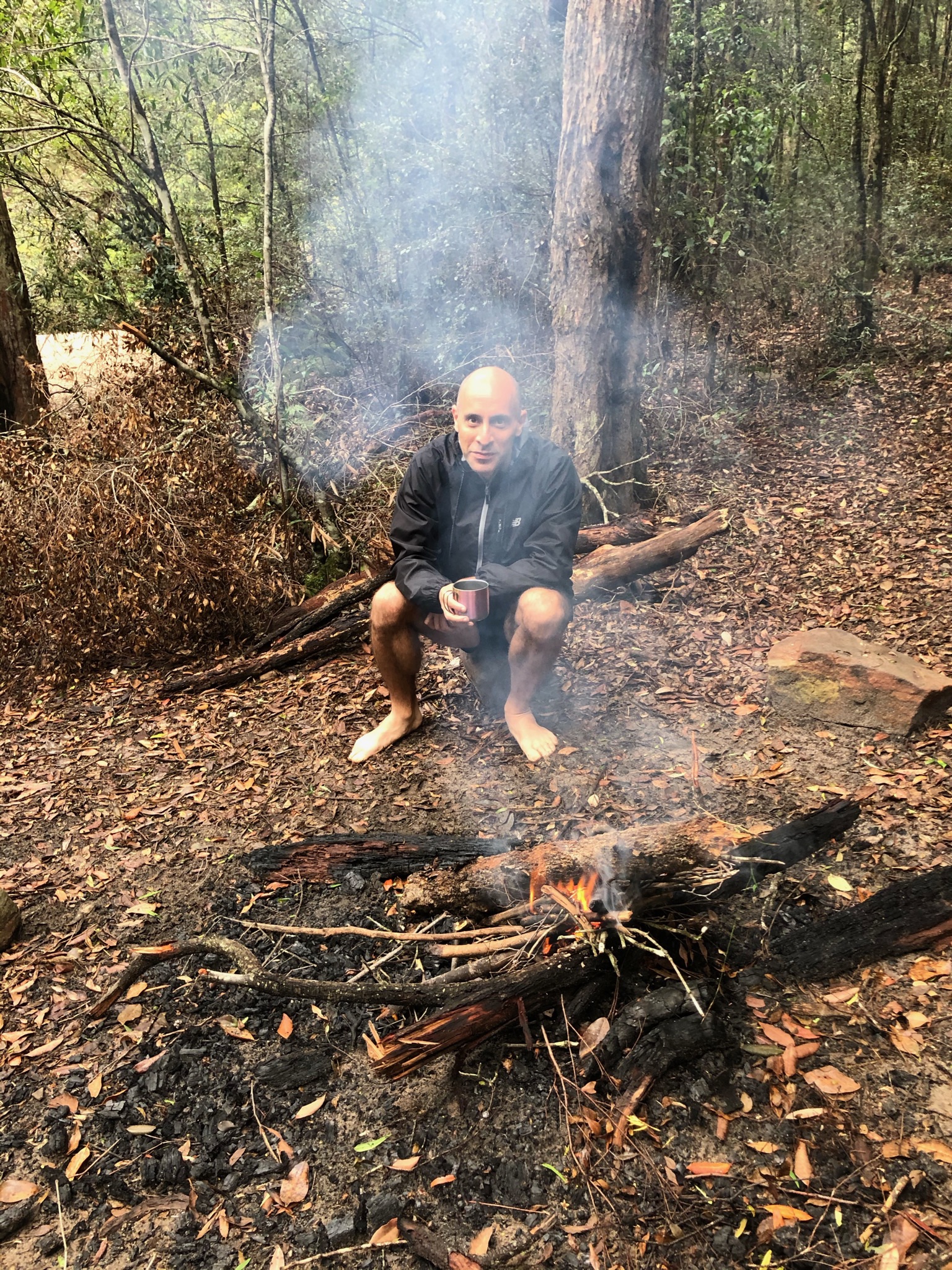
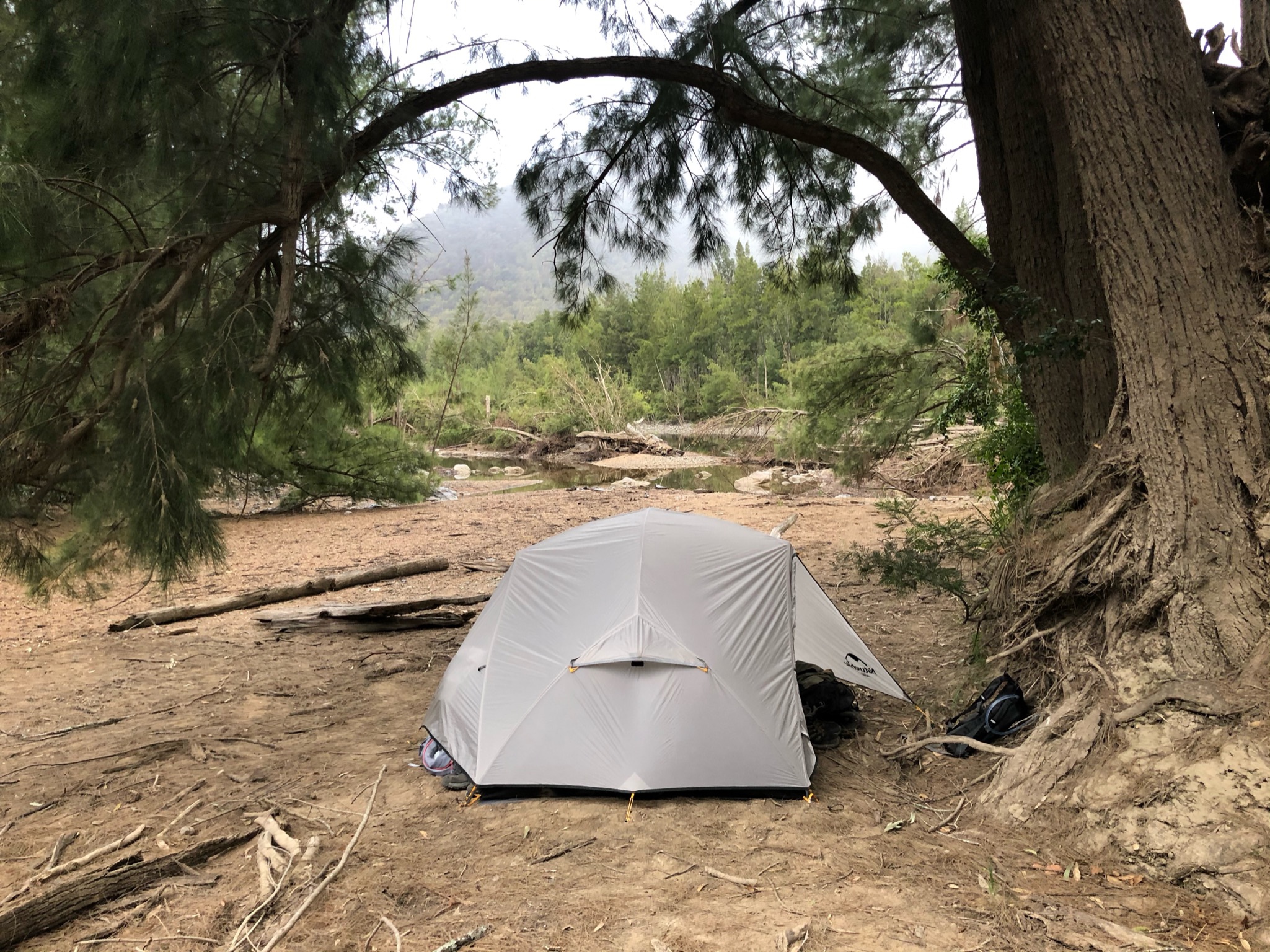
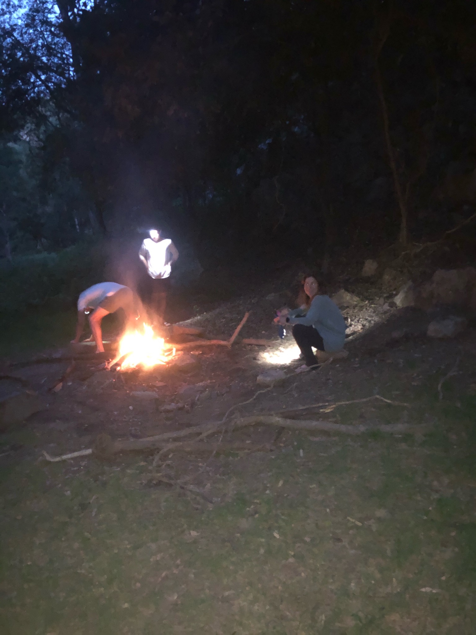
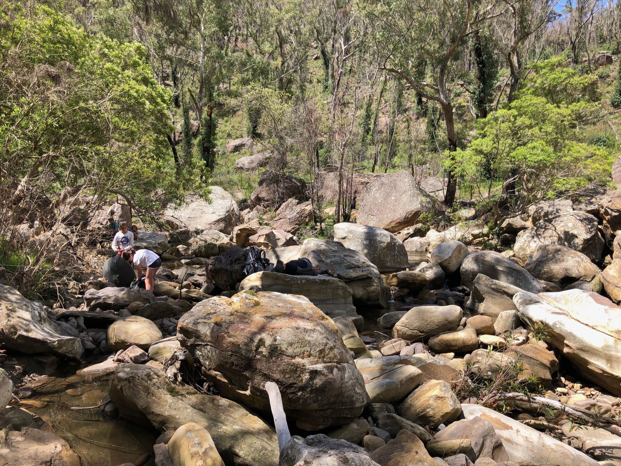
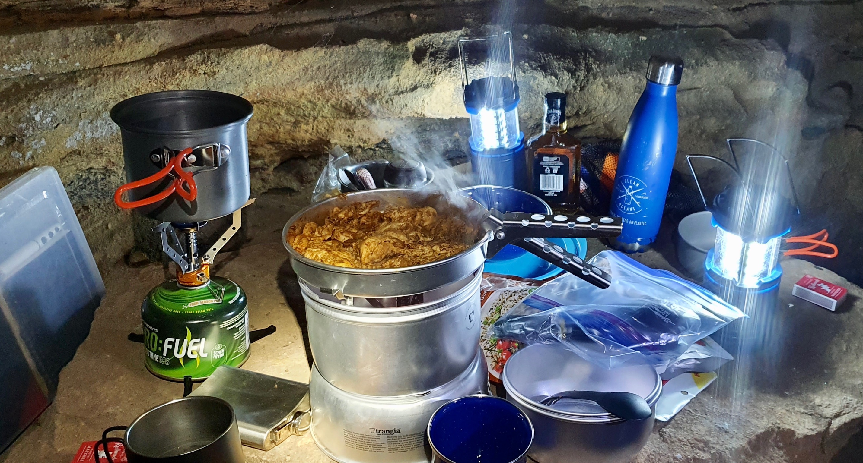
Ad-hoc campsite 
Starry night 
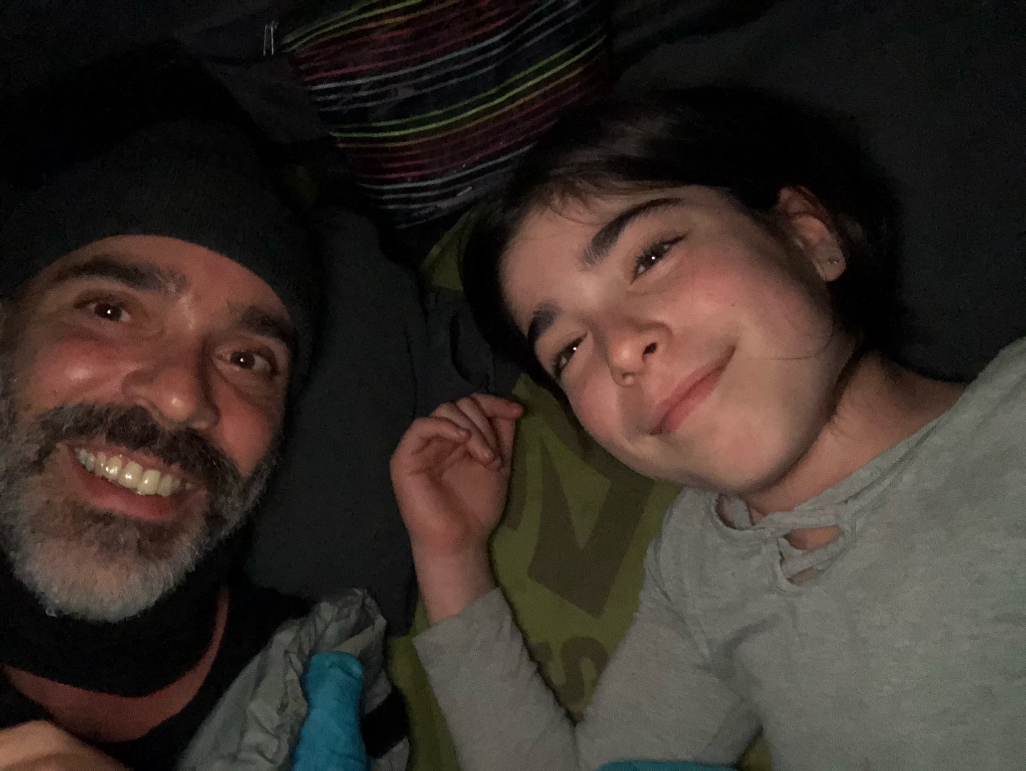
Glow in dark tent 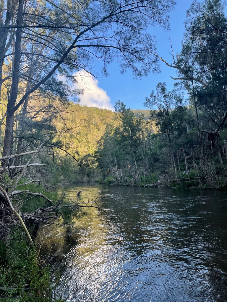
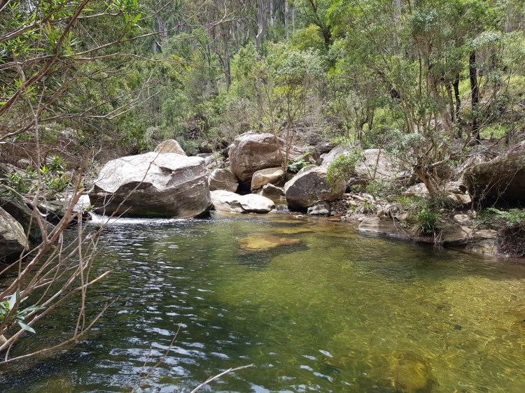
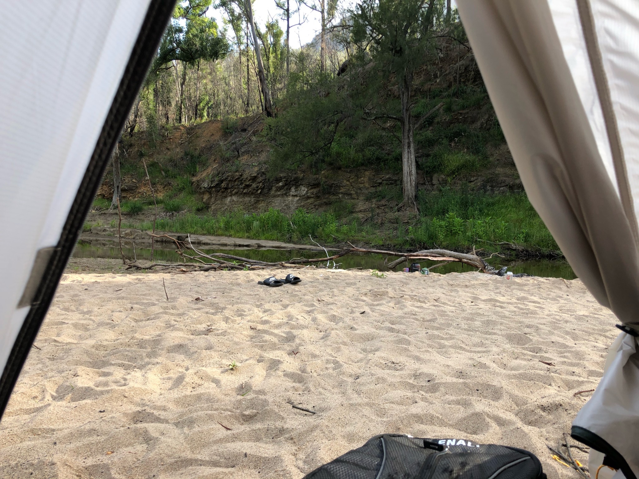
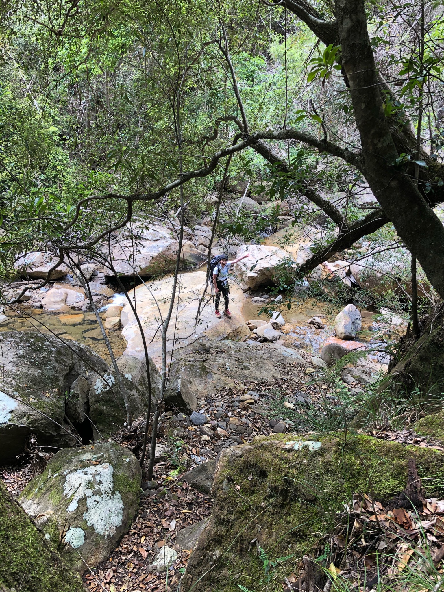
River in the morning 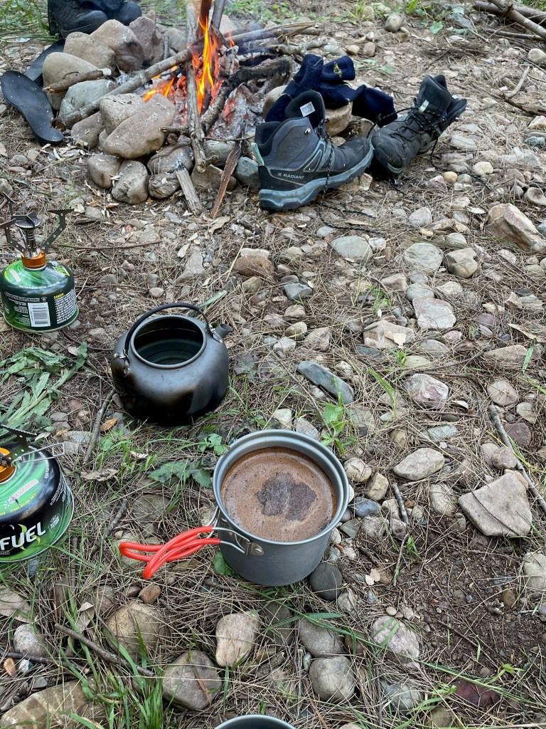
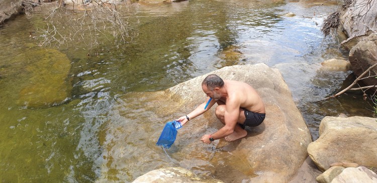
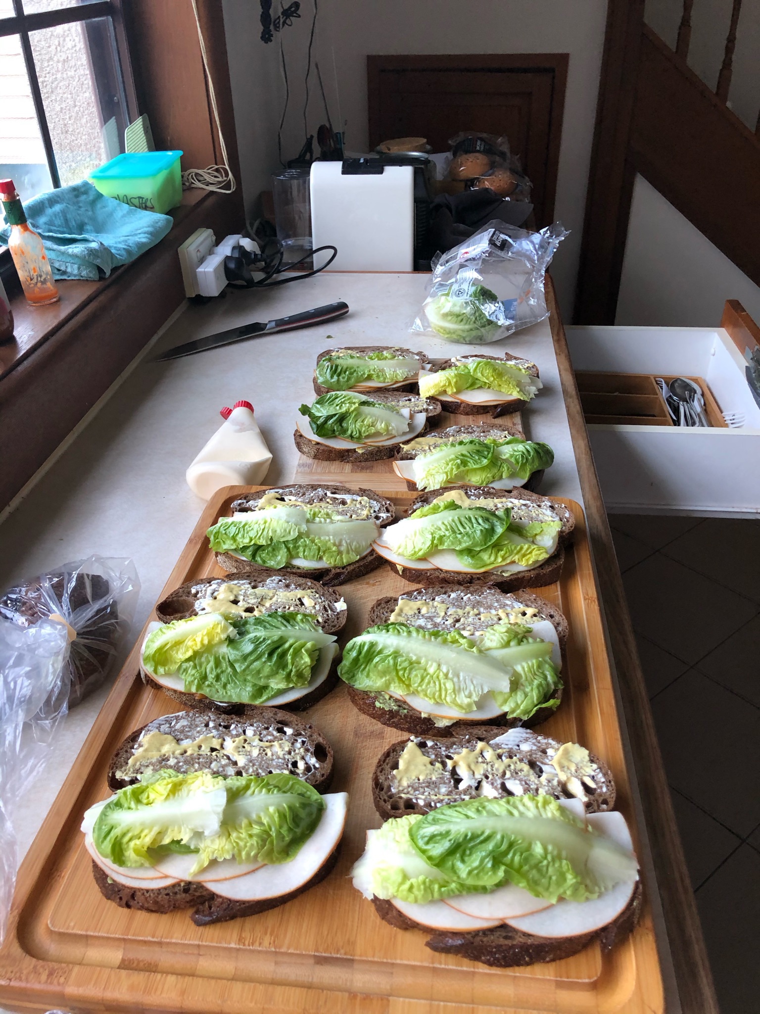
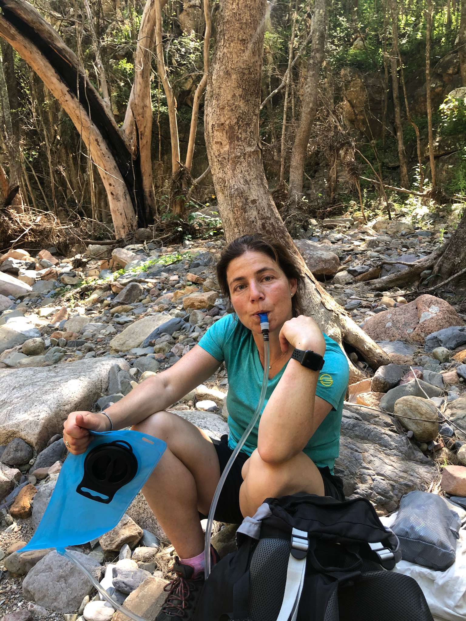
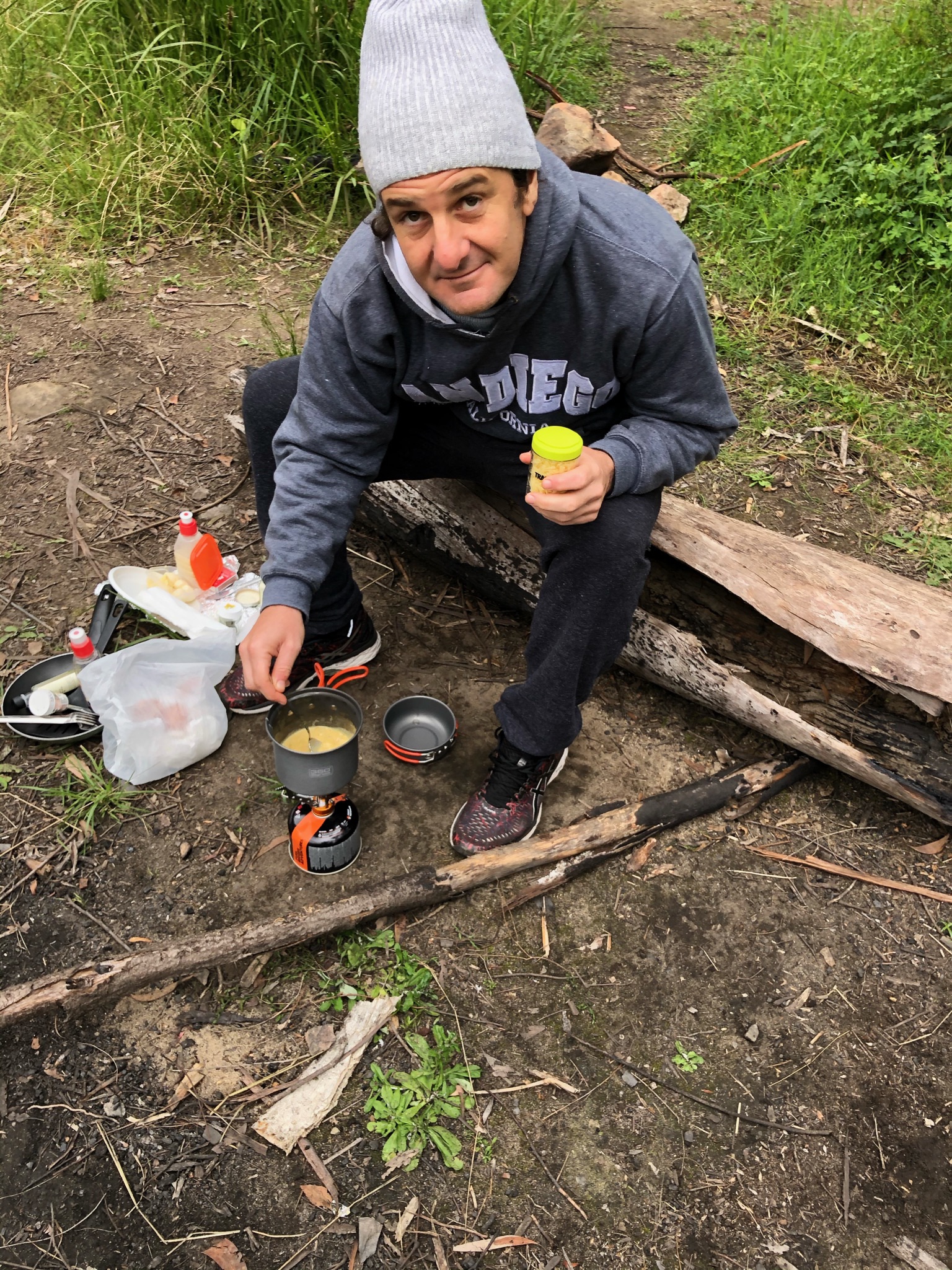
Coffee time 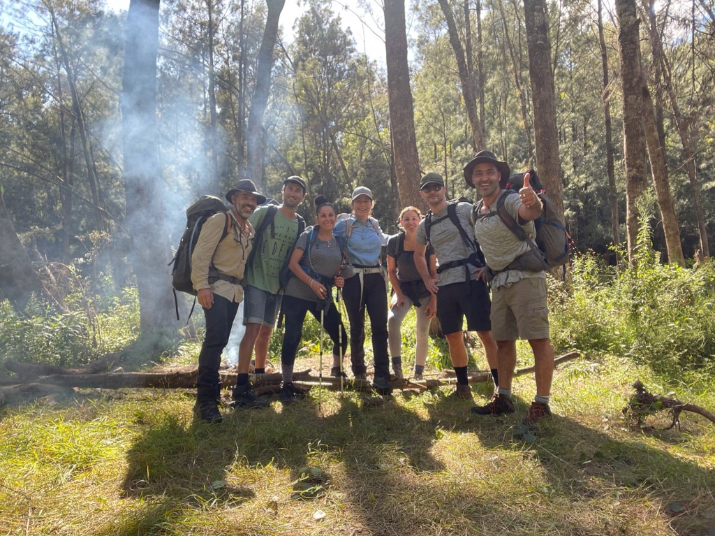
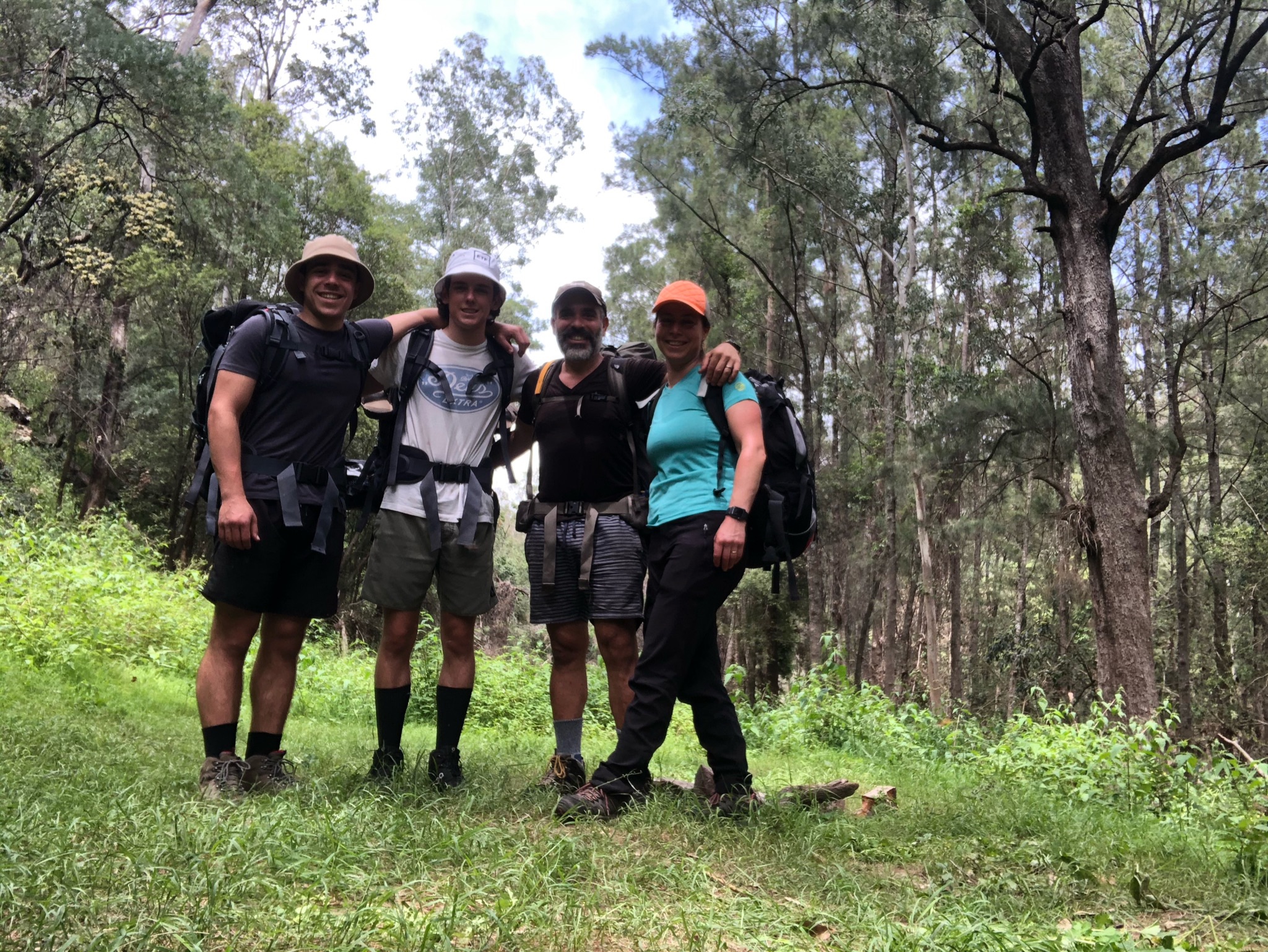
The Eastern Suburbs Bush Bashers 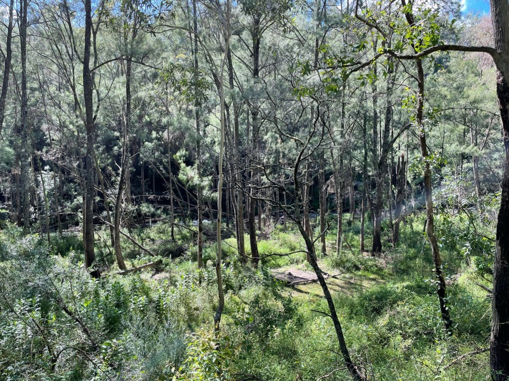
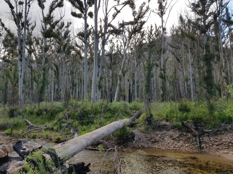
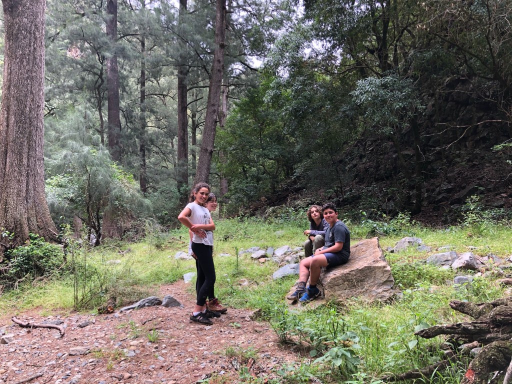
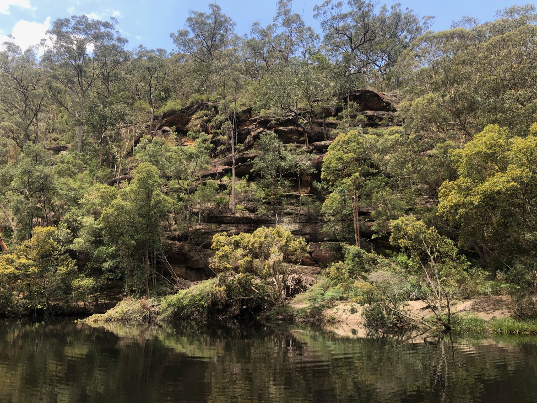
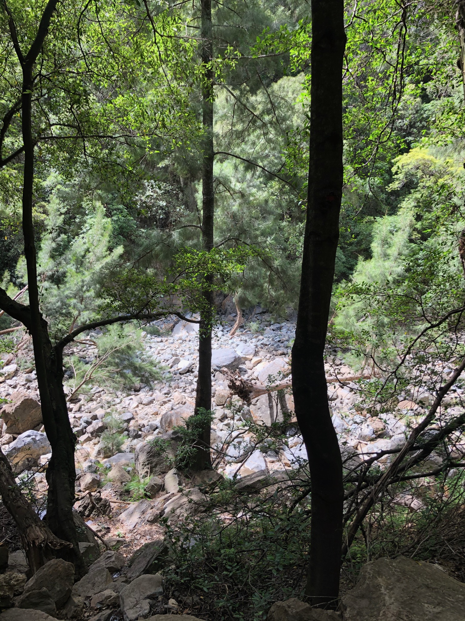
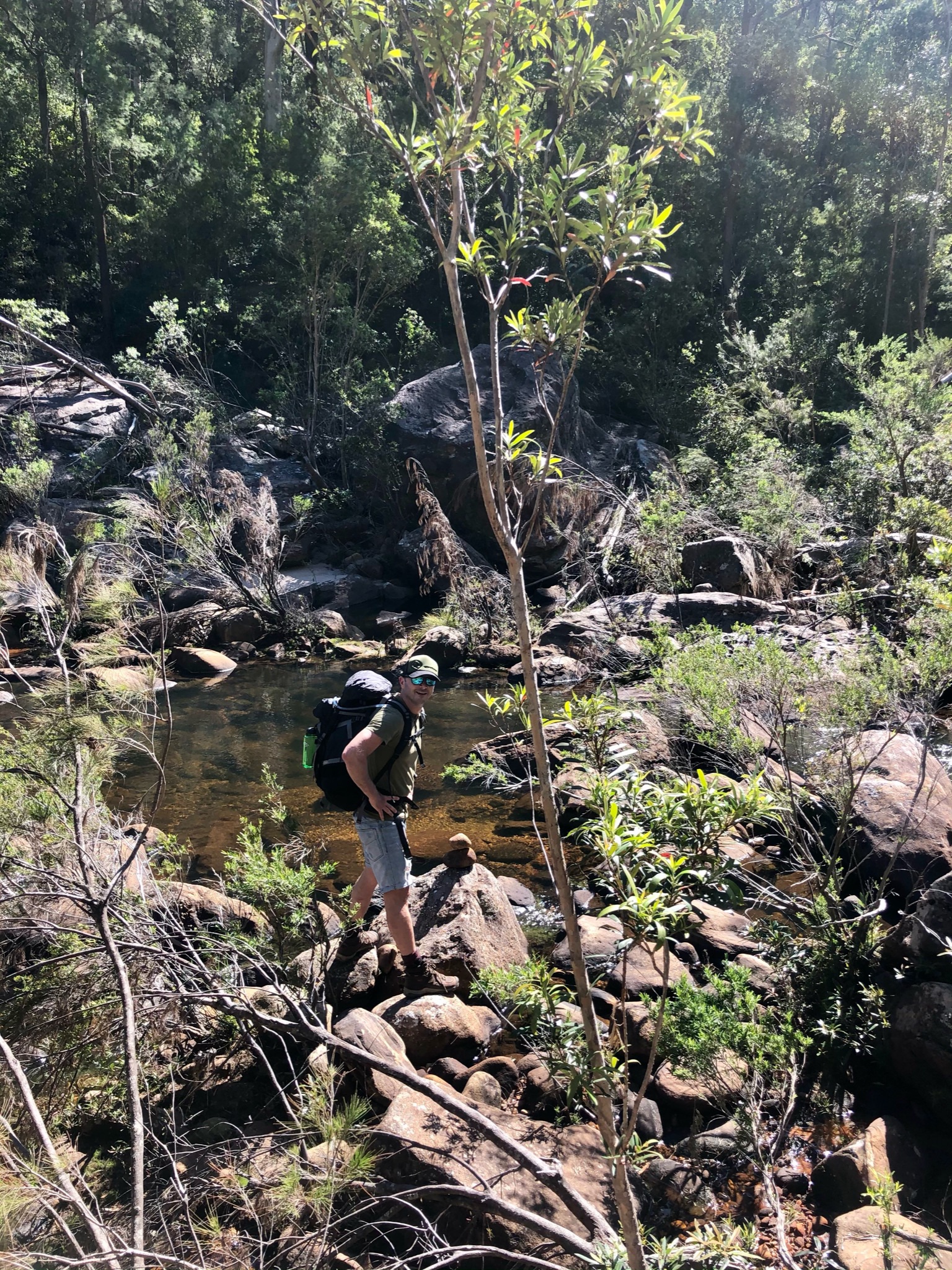
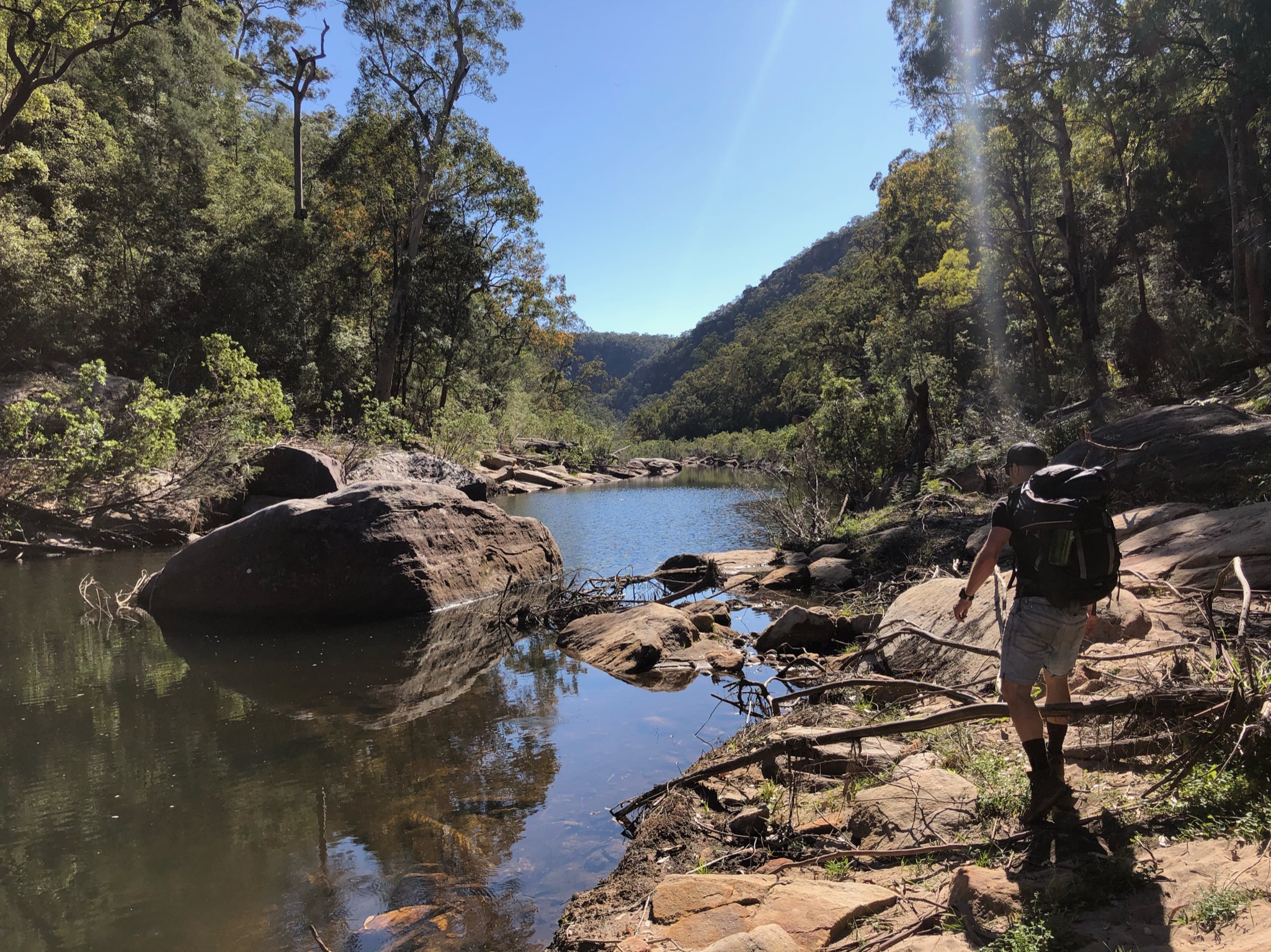
Forest above Kowmung 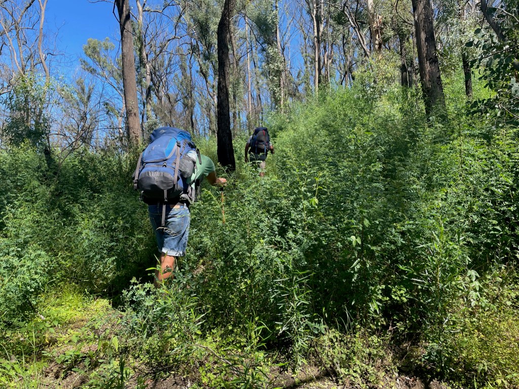
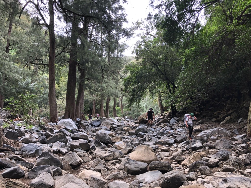
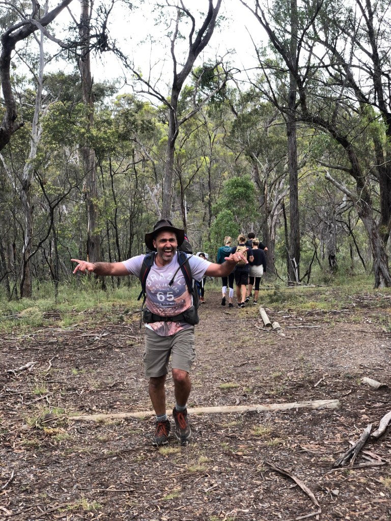
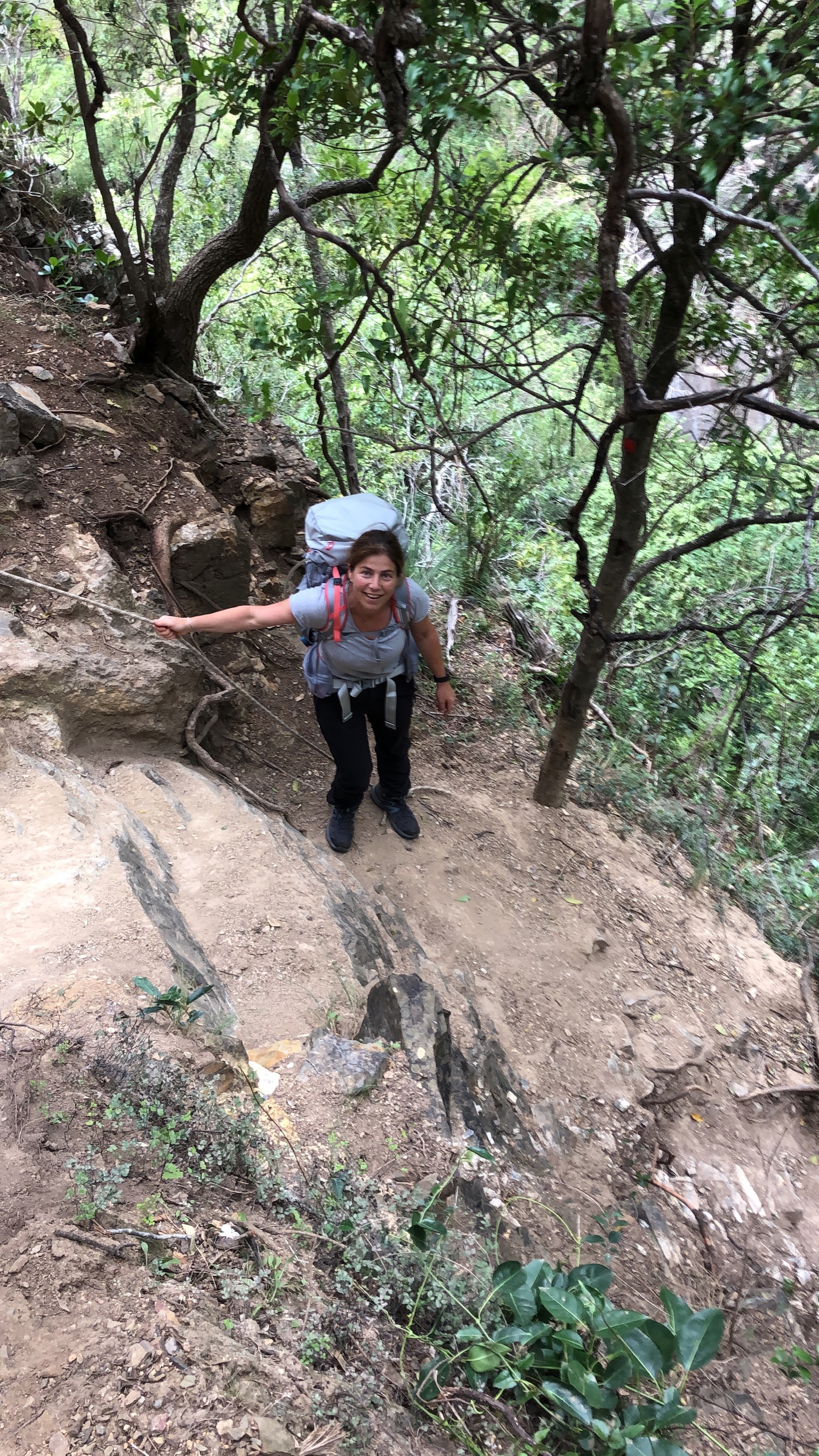
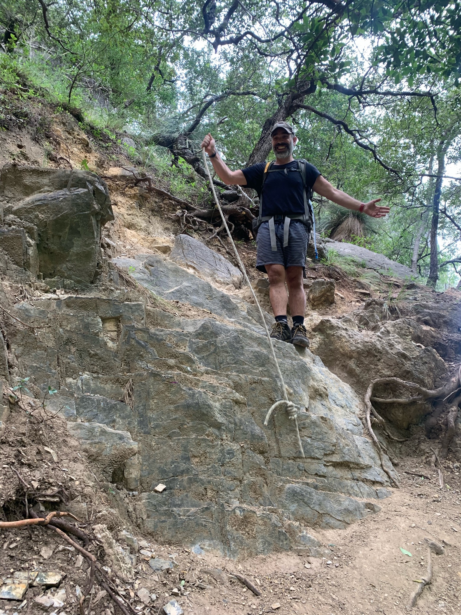
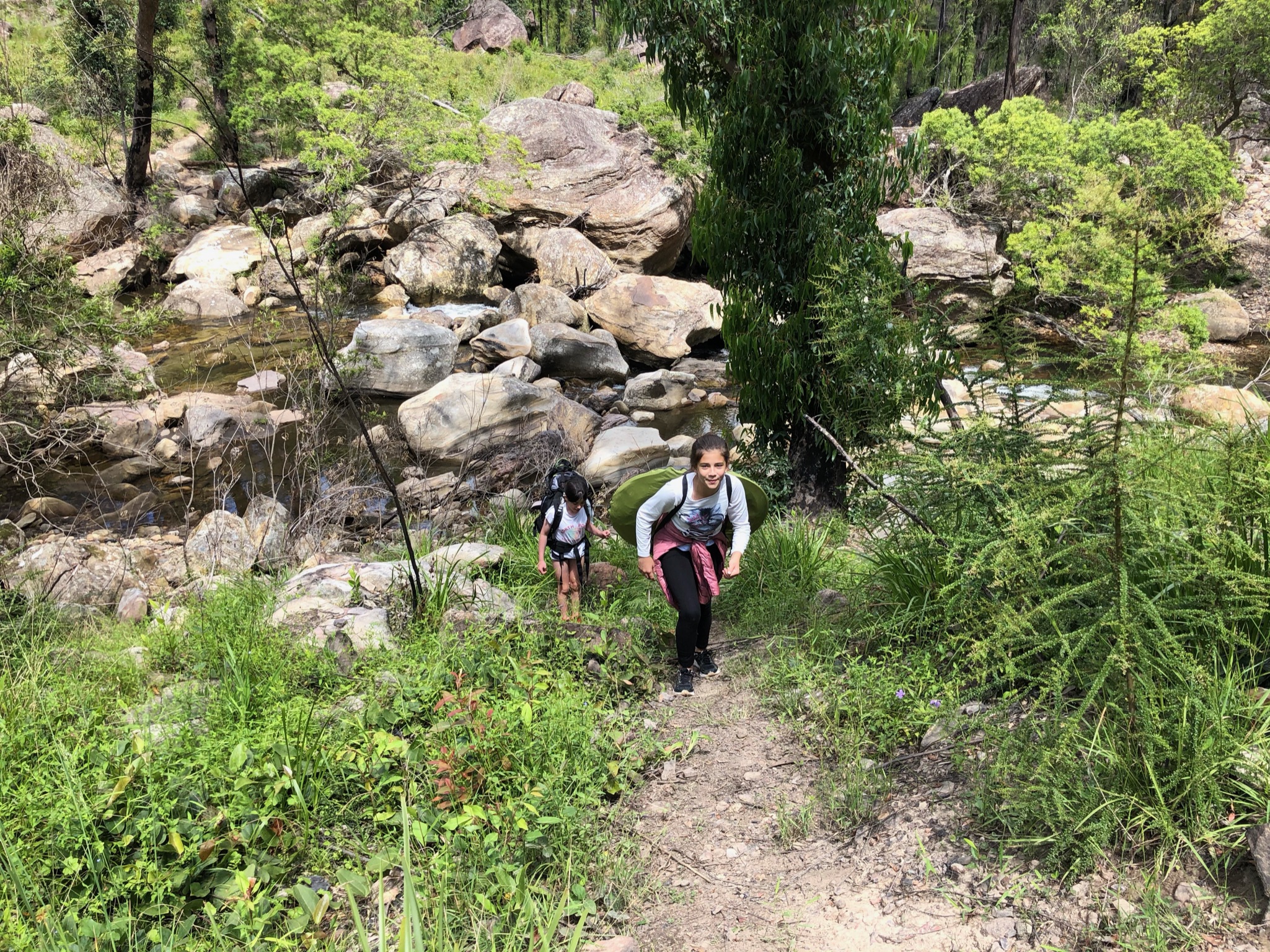
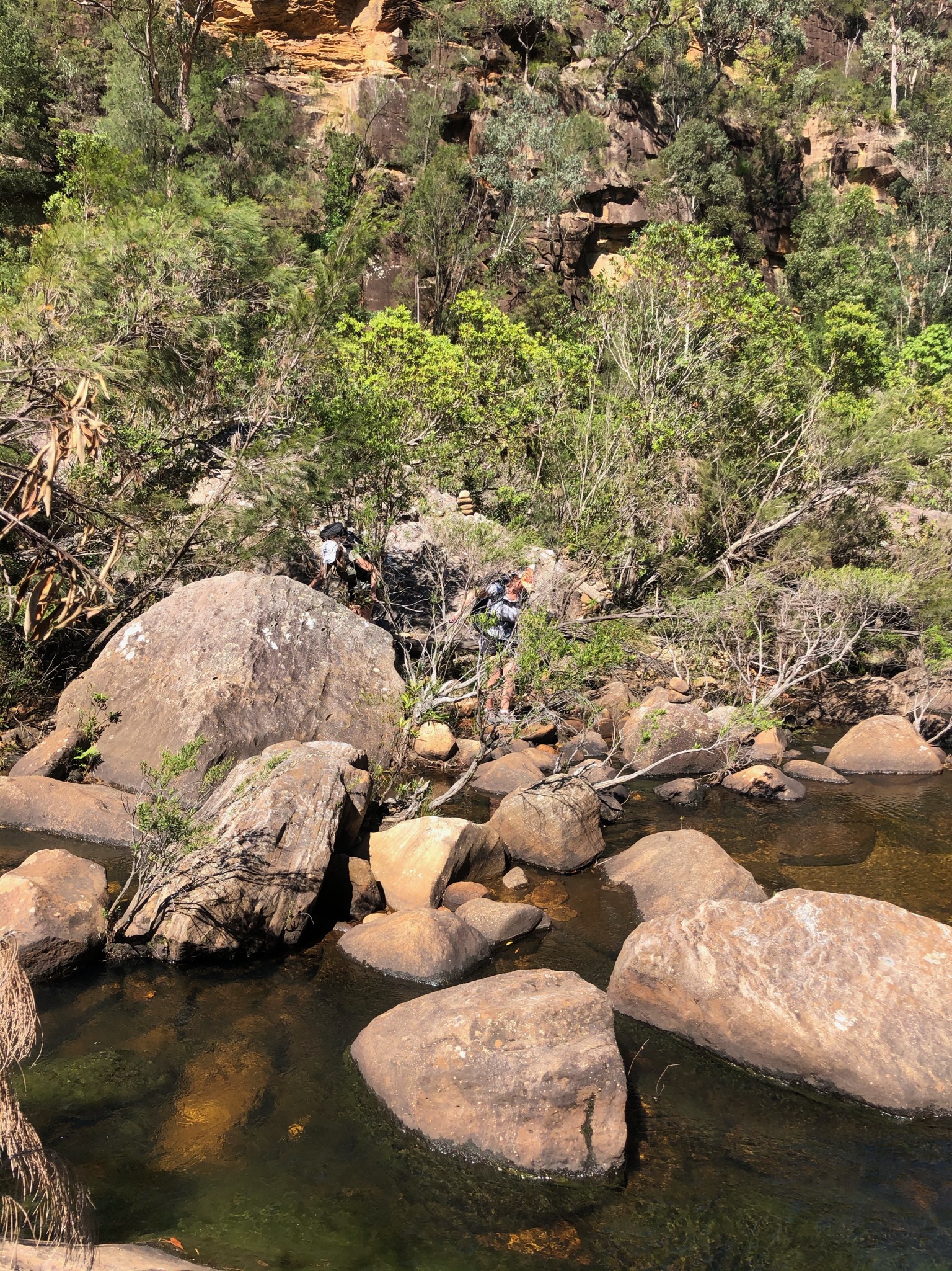
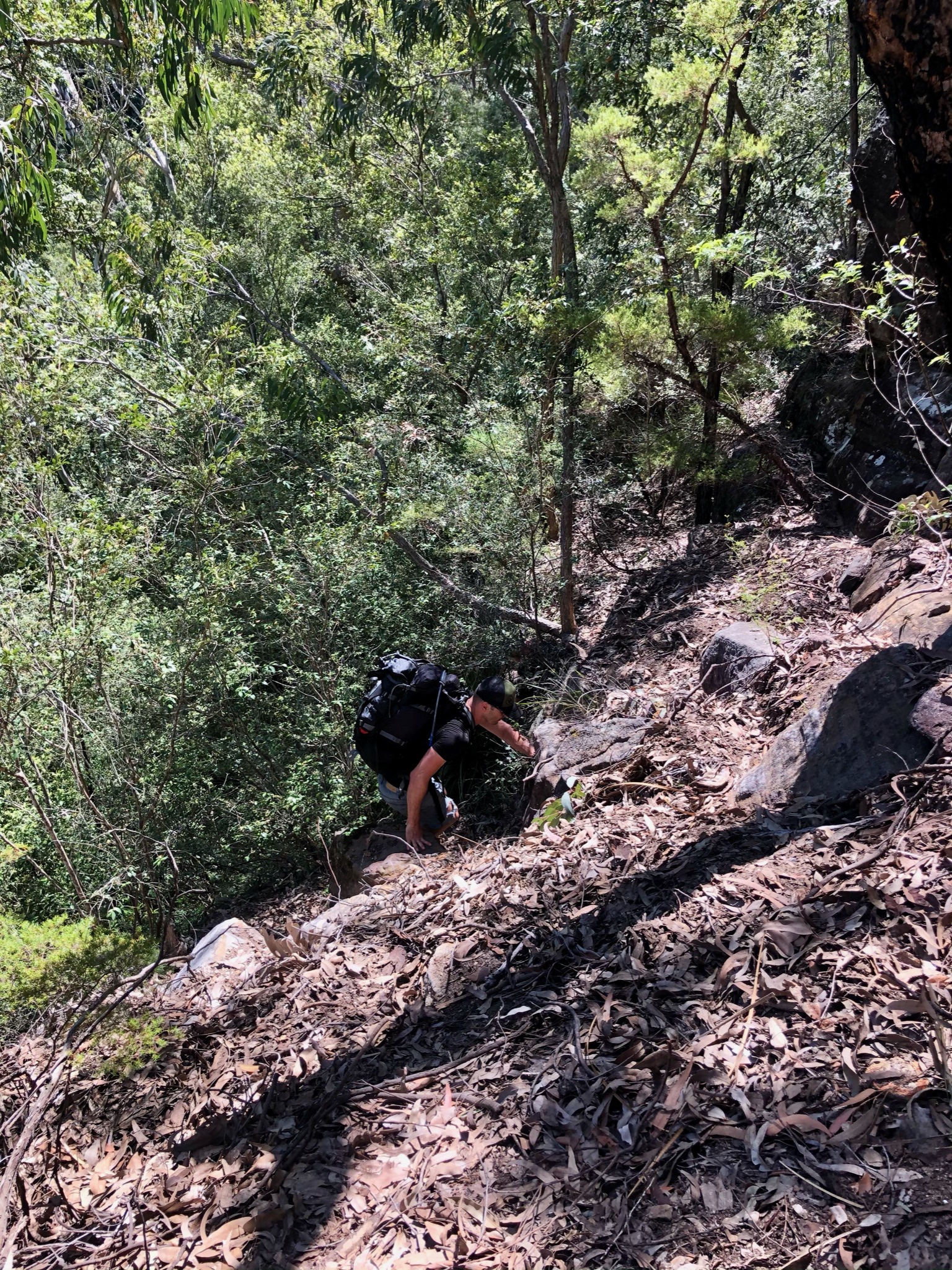
Hard track up 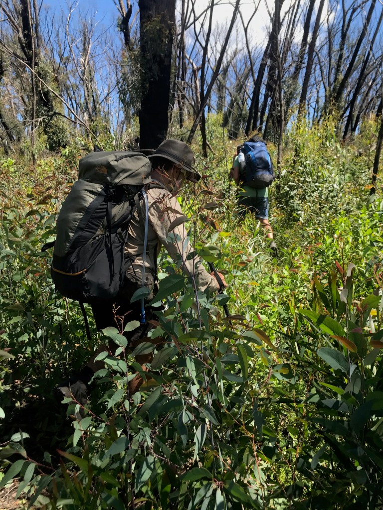
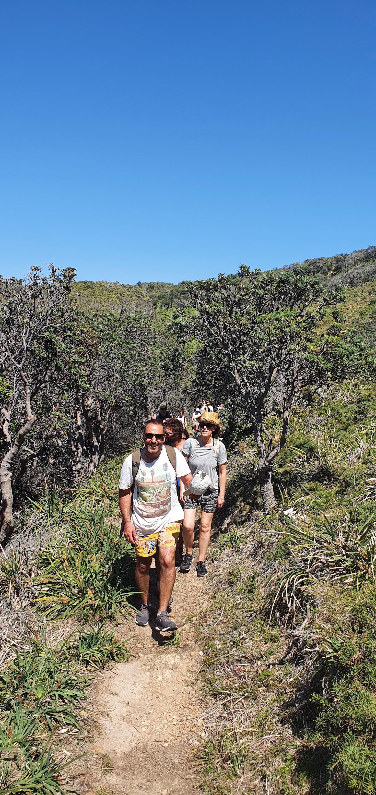
Thick bush on Roots 
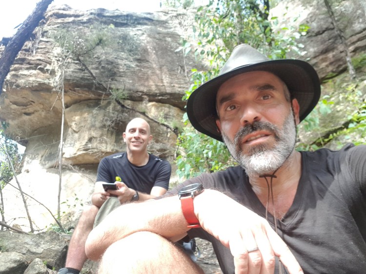
Reaching the cave 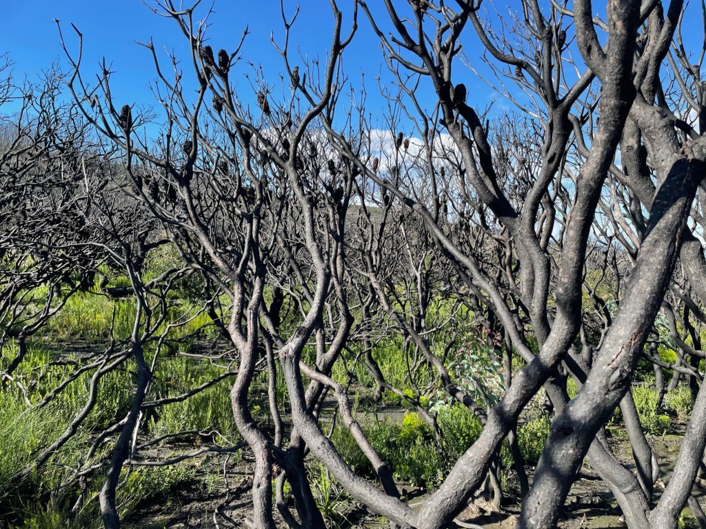
The Plateau 
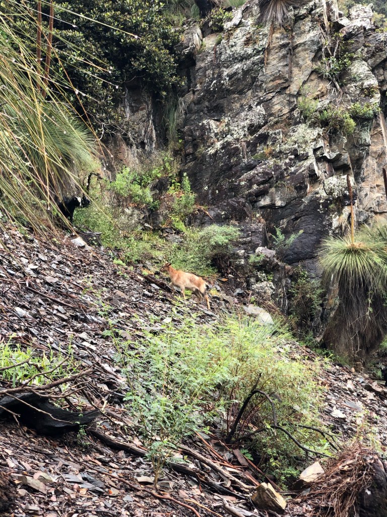
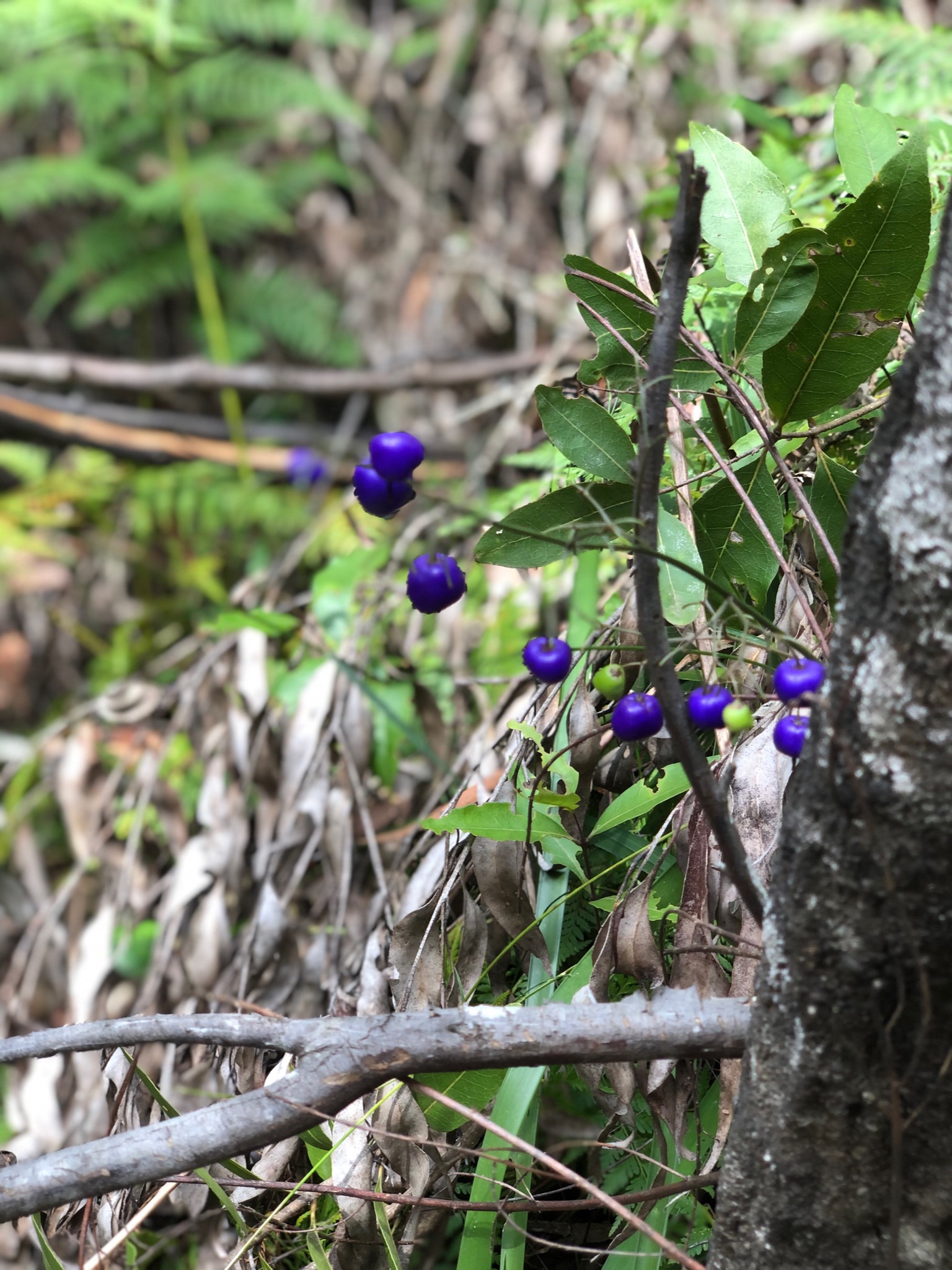
Pink Flannies …. very rare 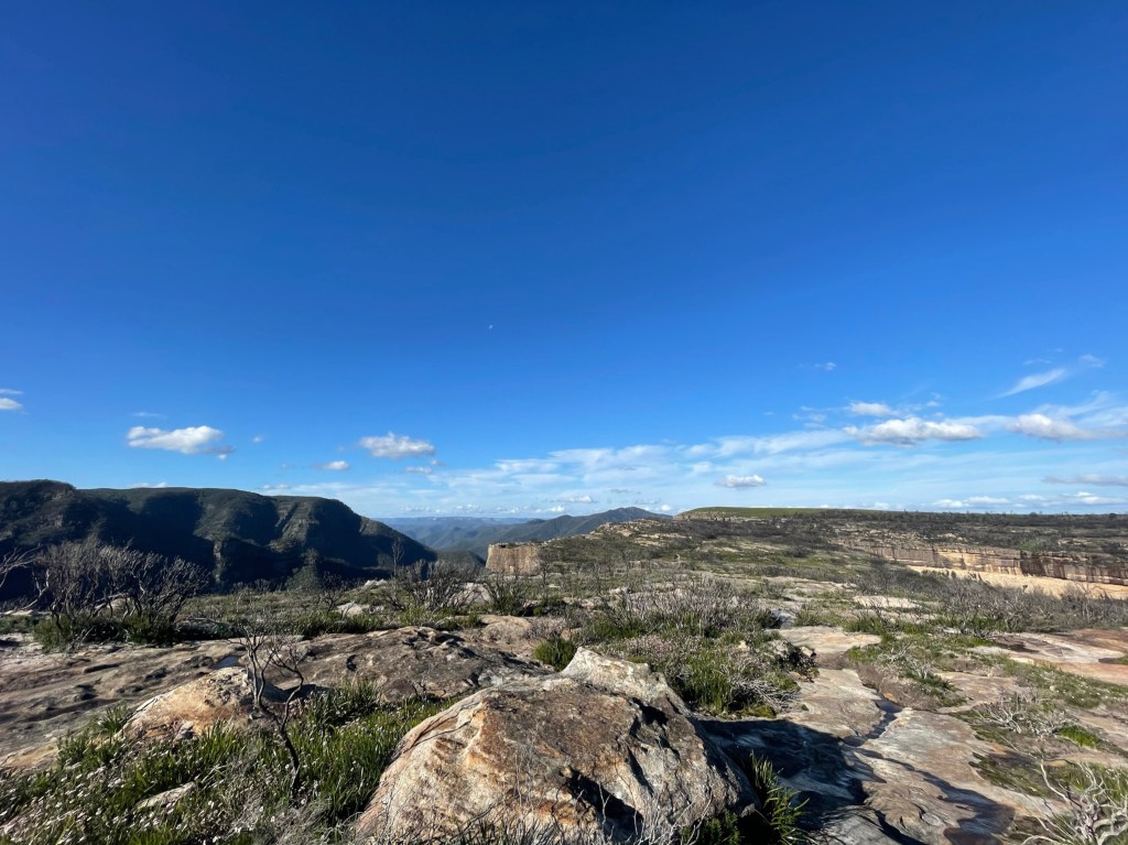
Back at the Walls 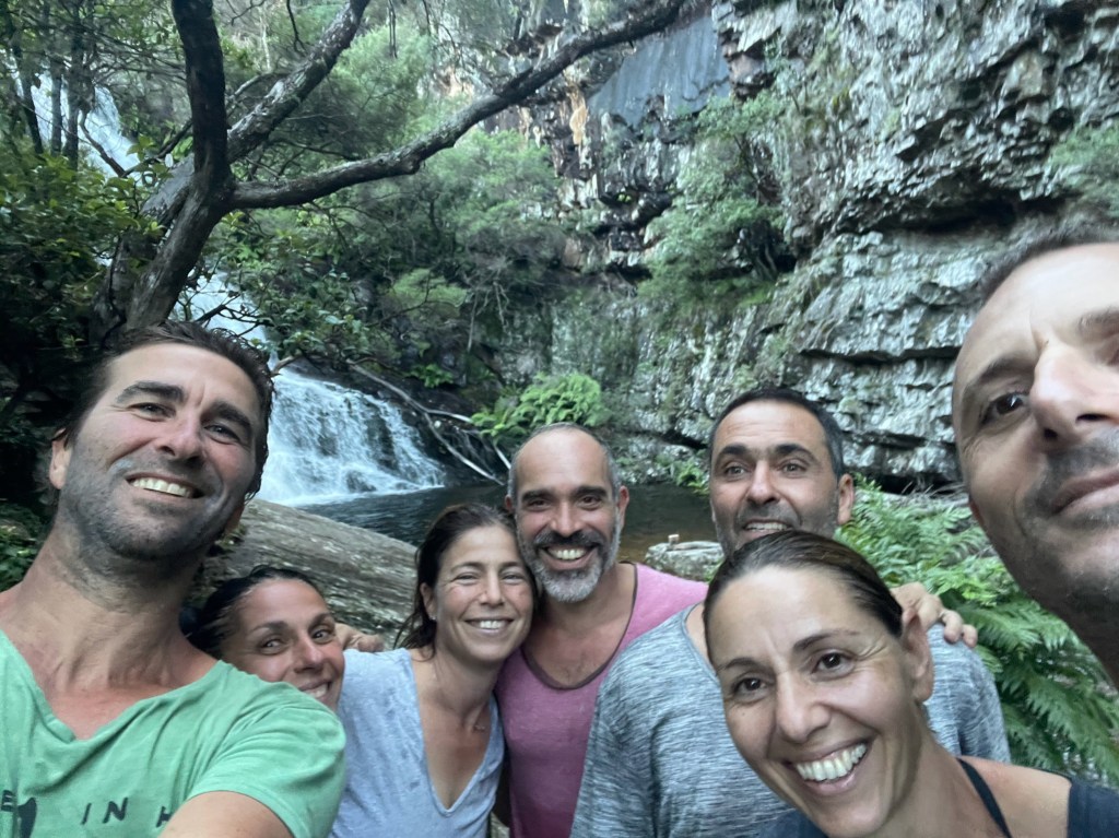
One final detour to Kalang Falls 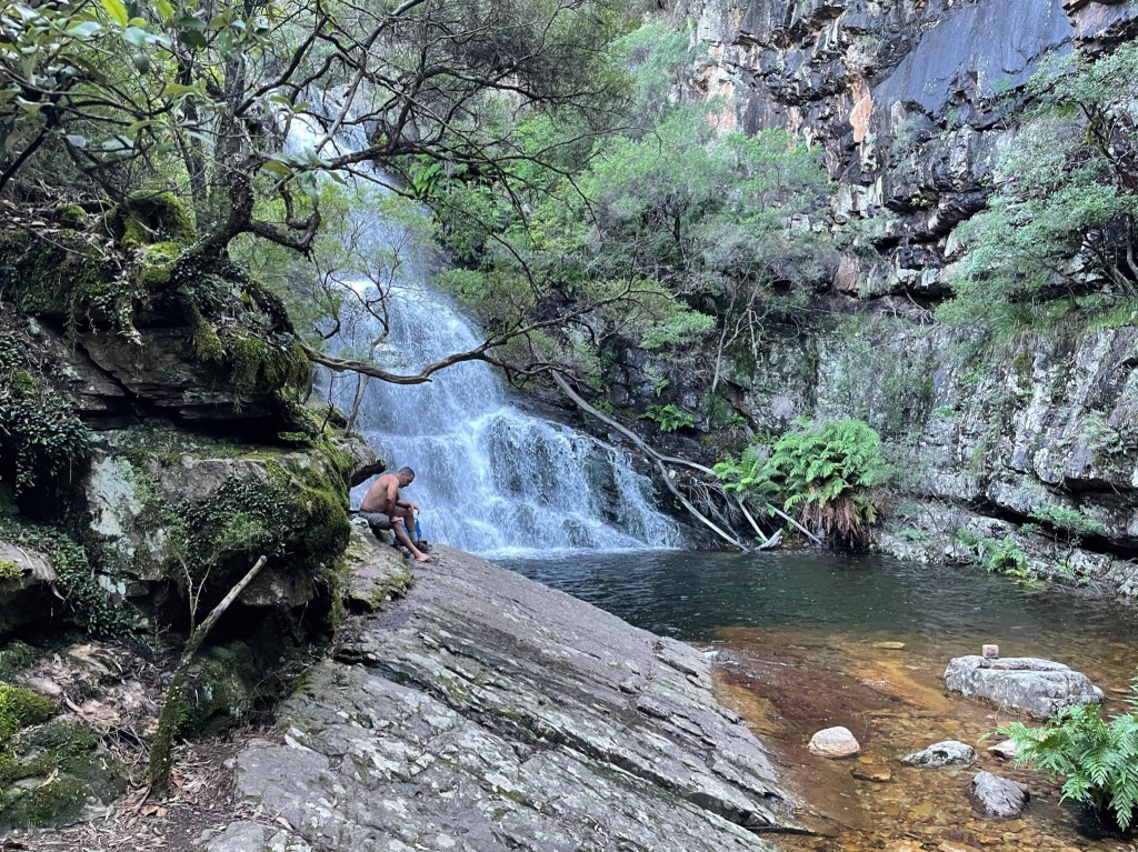
Bliss